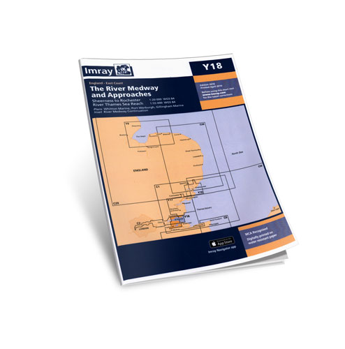
on this 2016 edition the latest depth surveys have been applied along with general updating throughout. the secondary yantlet channel is shown. plans included: whitton marine (1:6000) port werburgh (1:6000) gillingham marina (1:10 000) river medway continuation (1:25 000)
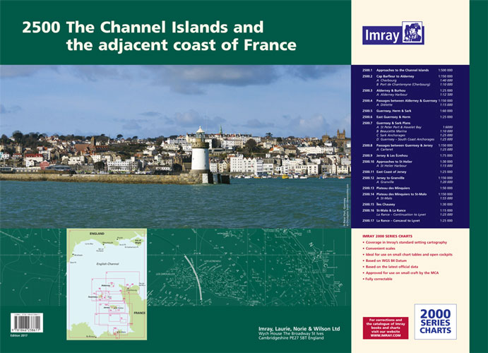
in new a2 atlas format suitable for use on small chart tables and in the cockpit. printed on high quality cartridge paper, this product is also available wiro bound, please use code ic2500-3w. 1. approaches to the channel islands (1: 500 000) 2. cap barfleur to alderney (1: 150 000) plans...
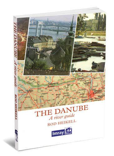
this book is a reprint of the original edition, first published in 1991, which came out of travelling on the danube in the late 1980s. while the political landscape has changed dramatically since that time, this book captures the essence of this great river, of its geography, history and culture in...
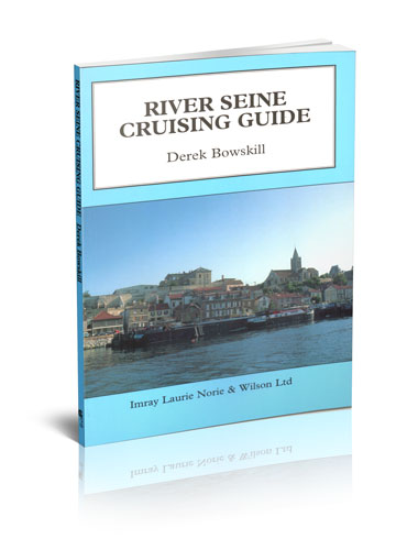
derek bowskill's lively commentary to the river seine is a comprehensive source of information for navigators on the river from the sea to paris and beyond to the start of the french inland waterways system. river seine cruising guide covers the seine estuary to paris, the river above paris and...
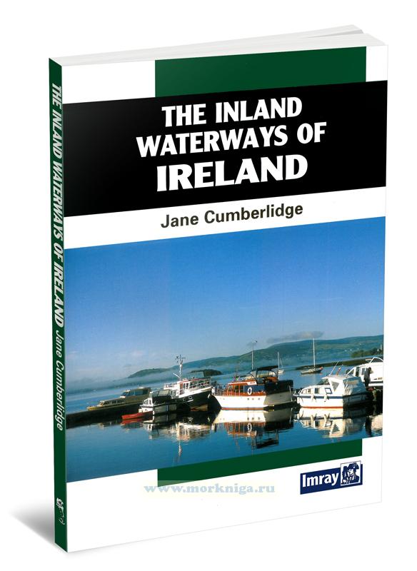
Издание на английском языке of all the countries in europe, ireland particularly lends itself to exploration by water. it is an island of manageable size with deep-sea loughs cutting far inland, spectacular inland loughs surrounded by mountains and majestic rivers...
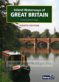
preface since the last edition was published in 1998 there have been many exciting developments in the waterways of great britain. thanks to the hard work of numerous volunteers and financial support from lottery money three significant waterways are now fully navigable...
this, the seventh issue of the river thames book celebrates its twentieth anniversary; another edition attempting to bring all that is on the thames and our adjacent waterways up to date. in this task we have had to explore 160-odd miles of the river from the thames barrier to cricklade and the 84...
Издание на английском языке. the river thames book including the river wey, basingstoke canal and kennet and avon canal by chris cove-smith 'the river thames book', now in its fifth edition, is the best-selling guide to the non-tidal thames from teddington to it's...
from the eighteenth century navigators relied on nautical charts produced by a handful of chart makers and instrument sellers who worked in the city of london. these privately produced charts, or bluebacks as they were known from the tough blue manilla paper on which they were mounted, were in...
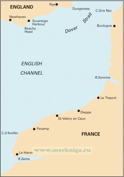
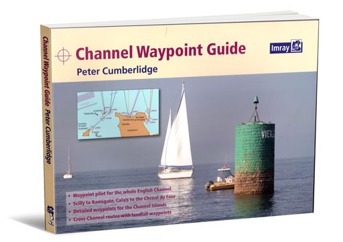
a comprehensive waypoint pilot for both sides of the english channel, from the isles of scilly to ramsgate, and calais to the chenal du four. includes the channel islands and over 50 cross-channel routes. this waypoint guide has been compiled for the convenience of anyone who uses electronic...
Издание на английском языке welcome to the exciting sport of powerboating. the rya powerboat scheme meets the training needs of recreational and professional powerboat operators alike. whether you are an amateur with a keen sense of adventure, or use powerboats as part of...
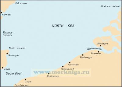
since its launch east coast pilot has become the most popular pilot book for the creeks, harbours and rivers between great yarmouth and ramsgate, providing clear and concise sailing directions for visitors and regular east coast cruising yachtsmen alike. the three authors all keep their boats on...
Издание на английском языке strictly speaking dag pike's latest tour of historic and often long unused harbours should be titled 'hidden harbours of northwest england and southwest scotland'. starting from the dee estuary and finishing in the remote rhins of galloway,...
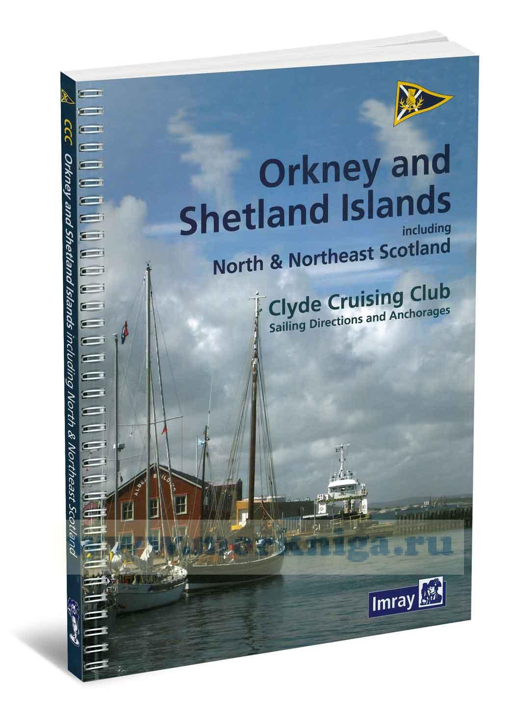
it is now almost forty years since the clyde cruising club published, under the hand of godfrey vinycomb, the editor of the sailing directions throughout the 1970s, the [url455411]shetland[/url455411] sailing directions. this was the last of the three books that the ccc had undertaken to produce as...
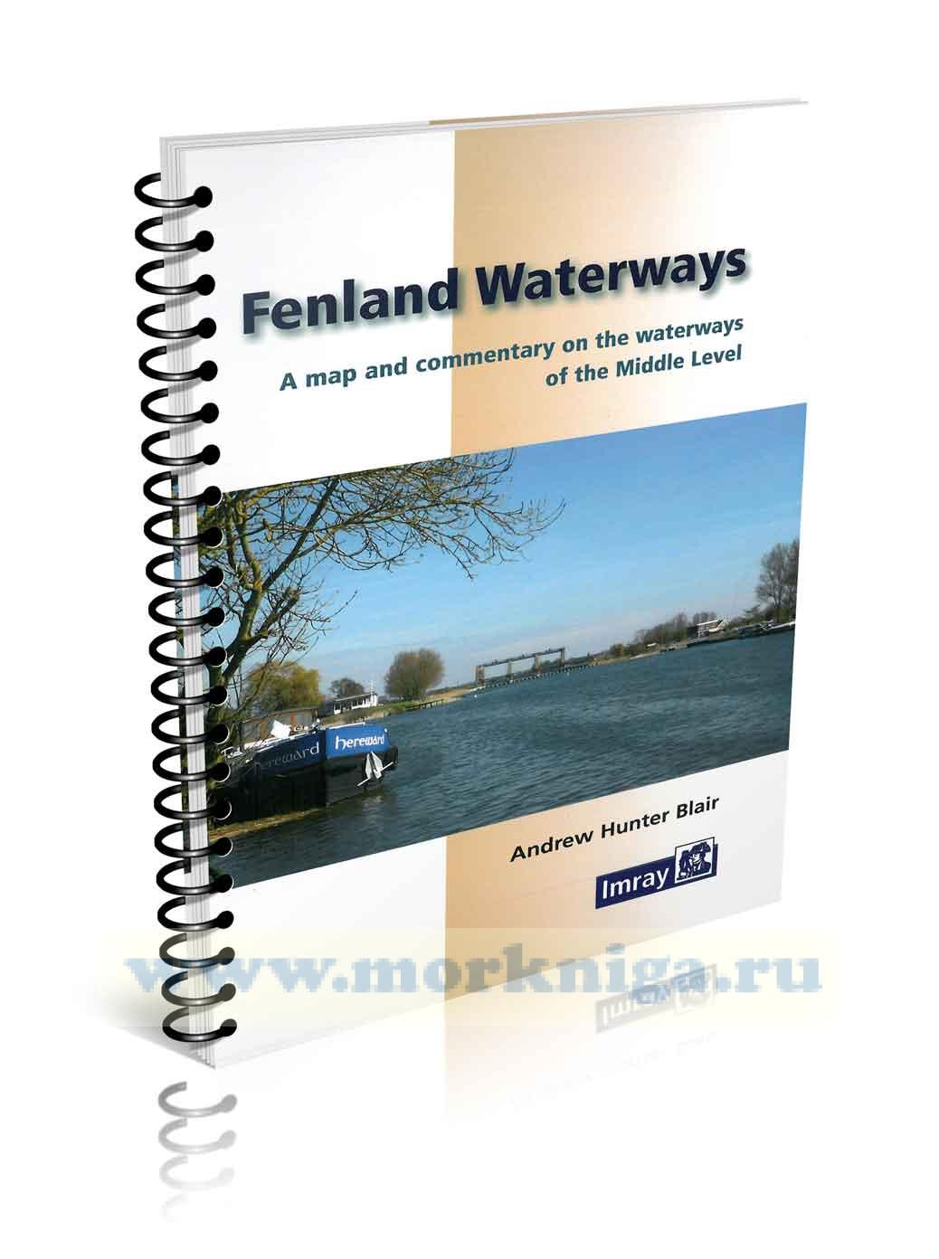
this guide describes the waterways of the middle level, an area of fenland lying between morton’s leam near the river nene to the west and the old bedford river to the east and stretching from wisbech in the north to earith in the south. these waterways provide not only a unique drainage network...
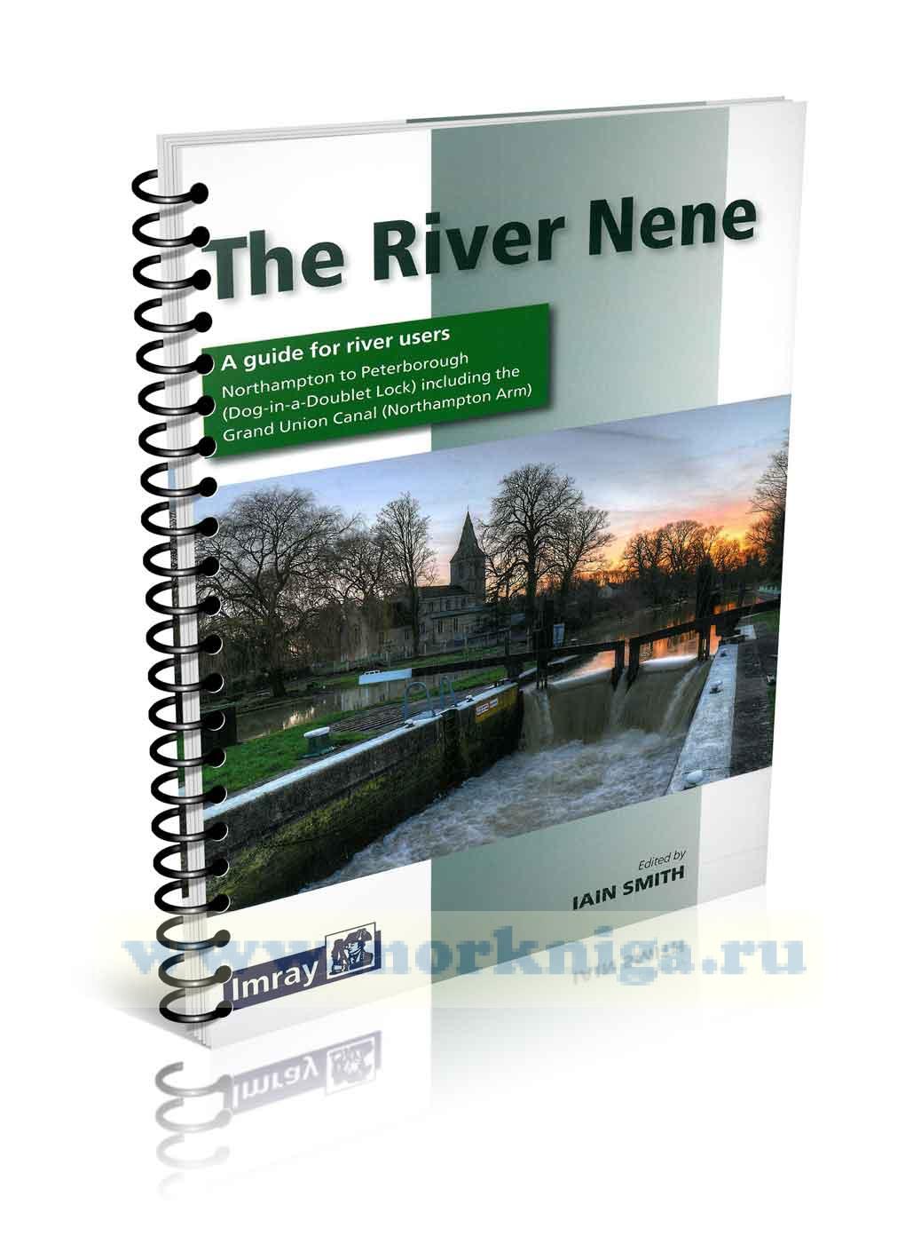
this book is about the river nene, the river nene itself begins its life in the porous limestone hills of the south and west northamptonshire uplands. it is hard to trace all of its sources, for several small brooks can be said together to form the source and the very name ‘nene’ is said to...
Нажмите “ОК”, если вы соглашаетесь с условиями обработки cookie и ваших
данных о поведении на сайте, необходимых для аналитики. Запретить обработку cookie можете через браузер