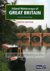
Inland Waterways of Great Britain Внутренные водные пути Великобритании
Preface
Since the last edition was published in 1998 there have been many exciting developments in the waterways of Great Britain. Thanks to the hard work of numerous volunteers and financial support from lottery money three significant waterways are now fully navigable that were closed when the ink was drying last time. The superb Scottish lowland system of the Forth and Clyde and Edinburgh and Glasgow Union canals opened to boats with the innovative structures of the Falkirk Wheel and the drop lock at Dalmuir showing that modern engineering can be as pioneering as the original planners were when the system was in its infancy, over 250 years ago. The Huddersfield Narrow and the Rochdale canals have also reopened offering the possibility of Pennine circular cruises.
A new waterway has been constructed in the form of the Ribble Link connecting the isolated Lancaster Canal to the main network for the first time since its construction. The success of this new navigation has provided impetus to the proposals for other new waterways, the Bedford - Milton Keynes Link to connect the River Great Ouse with the Grand Union Canal, and the Fens Waterways Link, an impressive plan to connect the rivers Witham, Nene and Great Ouse affording a whole new cruising area in East Anglia.
Restoration work on long lost parts of the old canal system continues, the Cotswold Canals, the Herefordshire and Gloucestershire Canal, the Wey and Aran Canal and the Lichfield and Hatherton canals. Some restoration projects may not be with a view to full navigation but they are all providing economic benefit and leisure opportunities in their locality. Restoration projects frequently bring canals and waterways to the notice of people who have never considered them before.
Navigation is clearly the principal function of canals and rivers but, in this new edition, I have tried to extend the scope of the book to interest more people in the waterways be they occasional walkers, tourists finding a new way to enjoy the countryside or serious boaters. With the enormous development of the internet since the last edition I have included internet contact information wherever possible. Clearly this cannot be exhaustive and I would be pleased to hear from any groups that would like to be included in future editions.
The origin of this current book can be traced back, with a little imagination, to the 1830s. George Bradshaw, bora in 1801, became an engraver in Manchester and then set up his own business. He specialised in map making and in 1827 published a map which showed the canals around Manchester, Lancashire, the Pennines and the Peak District. The map proved so popular that over the next few years he also published a map of the Midland canals and finally one of the southern canals. Each of the publications could be bought as sheets, which were hand coloured, cloth-backed and mounted on wooden rollers or folded and kept in leather cases. Accompanying the southern map was a pamphlet with a table of mileages and rise and fall of locks. It would appear that Bradshaw's interest in the canals was then eclipsed by the railways as he was the originator of the railway bible, Bradshaw's Guide, which was the definitive timetable reference for over 120 years.
The original work from which this edition is more directly descended, Bradshaw's Canals and Navigable Rivers of England and Wales, was first published in 1904. The requirements of readers in the 21st century are very different to those who leafed through the pages of Bradshaw a century ago, but the essential style and coverage of the book remains much the same, based around a comprehensive list of navigable waterways in Britain with accurate distances along each waterway and the dimensions of craft that can use them.
Compiled by Henry Rodolph de Salis, the original book was sub-titled A Handbook of Inland Navigation for Manufacturers, Merchants, Traders and Others. Over a period of eleven years, Henry de Salis, a director of the carrying company Fellows, Morton and Clayton Ltd, covered over 14,000 miles in his own boats to carry out a personal survey of each waterway, documenting the distances between locks, bridges, manufacturers, wharves and other information of use to carrying companies.
In June 1939, the first edition of Inland Waterways of Great Britain was published by Imray, Laurie, Norie and Wilson Ltd at 8s 6d. Based on Bradshaw's, W Eric Wilson himself compiled the new volume, whose sub-title was given as A handbook giving the more important particulars of the Principal Canals and Rivers of England and Scotland, arranged in a concise form for Yachtsmen. The term 'yachtsman' was used to mean anyone who went boating on the waterways for pleasure as opposed to commerce.
Although the number of waterways covered was greatly reduced, each waterway was numbered, the number relating to a coloured map tucked into the back of the book. The essential information was presented in a simple and accessible form and the four Scottish canals were brought into the book. A selection of routes of interest to yachtsmen was included as an appendix. After the second world war, with growing interest in the inland waterways and the prospect of nationalisation for many of them, a new edition of the book was published in June 1947, again compiled W Eric Wilson.
Содержание:
Contents
Introduction,
Canals today
The Inland Waterways Association
Waterway restoration
New waterways
Bedford and Milton Keynes Link
Daventry
Fen Waterways Link
Higher Avon Navigation
Other possible waterways
Recreation on the Waterways
Boating
Walking
Fishing
Cycling
Waterway traditions
Commercial carrying by canal
Canal wildlife and conservation
Canal and waterways societies and organisations
Useful websites
History
A short history of the British waterways
The men behind the canals
Canal Engineering
Using locks on canals and rivers
Waterways structures
Aqueducts
Bridges
Canalside architecture
Lifts and inclined planes
Locks
Tunnels
Water supply
Navigation
Narrow boats and other waterway craft
Navigation notes
The public right of navigation
Waterway authorities
Regulations on the inland waterways
Cruising
Exploring Britain by water
Holiday hire agencies
Self-drive boat hire
Hotel boats
Planning your route
The Inland Waterways of England
Adur, River
Aire and Calder Navigation and River Aire
Aide and Ore, Rivers
Ancholme, River
Aran, River
Ashby (de-la-Zouche) Canal
Ashton Canal
Avon, River (Bristol)
Avon, River (Warwick)
Barnsley Canal and Dearne and Dove Canal
Basingstoke Canal
Beaulieu River
Beverley Beck
Birmingham Canal Navigations
Blyth, River (Halesworth Navigation)
Bridgewater Canal
Bridgwater and Taunton Canal
Bude Canal
Calder and Hebble Navigation
Caldon Canal
Cam, River
Reach Lode and Burwell Lode
Swaffham Bulbeck Lode
Bottisham Lode
Chelmer and Blackwater Navigation
Chesterfield Canal
Chichester Canal
Colne, River
Cotswold Canals, see Stroudwater Navigation, and Thames and Severn Canal
Coventry Canal
Cromford Canal
Crouch, River
Dart, River
Deben, River
Dee, River
Derby and Sandiacre Canal
Derwent, River (Yorkshire)
Don, River
Driffield Navigation
Droitwich Barge Canal and Droitwich Junction Canal
Exeter Ship Canal
Fal, River
Foss, River
Fossdyke and Witham Navigations
Fowey, River
Frome, River
Glen, River
Gloucester and Sharpness Ship Canal
Grand Union Canal
Paddington Arm
Regent's Canal
Hertford Union Canal
Slough Arm
Aylesbury Arm
Wendover Arm
Rickmansworth Branch
Old Stratford and Buckingham Arms
Northampton Arm
Leicester Line
WelfordArm
Market Harborough Arm
Erewash Canal
Grand Western Canal
Grantham Canal
Hamble, River
Herefordshire and Gloucestershire Canal
Huddersfield Broad Canal
Huddersfield Narrow Canal
Hull, River
Humber, River
Idle, River
Ipswich and Stowmarket Navigation
Kennet and Avon Canal
Kyme Eau, see Sleaford Navigation
Lake District
Lancaster Canal
Lee and Stort Navigation
Bow Back Rivers
Old River Lea
Stort Navigation
Leeds and Liverpool Canal
Louth Navigation
Lydney Canal and Harbour
Macclesfield Canal
Manchester, Bolton and Bury Canal
Manchester Ship Canal
Market Weighton Canal
Medway, River
Mersey, River
Middle Level Navigation
Nene, River
New Junction Canal, South Yorkshire
Norfolk and Suffolk Broads
Oulton Broad and Dyke
Waveney, River
Haddiscoe New Cut
Yare, River
Bure, River
Ant, River
Thurne, River
North Walsham and Dilham Canal
Nottingham Canal, see River Trent and Miscellaneous Waterways
Ouse, River Great, and its tributaries
Old River
Old Bedford River
Ouse, Little or Brandon River
Lark, River,
Wissey, River
Ouse, River (Sussex)
Ouse, River (Yorkshire)
Oxford Canal
Parrett, River
Peak Forest Canal
Pocklington Canal
Ribble Link
Ripon Canal
Roach, River
Rochdale Canal
Roding, River
Rother (Eastern), River
Royal Military Canal
Sankey (St Helens) Canal
Severn, River
Sheffield and South Yorkshire'Navigation
Shropshire Union Canal
Middlewich Branch
Branch to River Dee
Sleaford Navigation
Staffordshire and Worcestershire Canal
Stour, River (Kent)
Stour, River (Suffolk)
Stourbridge Canal
Stourbridge Extension Canal
Stratford-on-Avon Canal
Stroudwater Navigation
Tamar, River
Tees, River
Thames, River
Thames and Medway Canal
Thames and Severn Canal
Trent, River
Trent and Mersey Canal
Tyne, River
Ure, River
Wansbeck, River (Northumberland)
Wash, The
Wear, River
Weaver, River
Welland, River
Wey and Aran Junction Canal
Wey, River,and Godalming Navigation
Wharfe, River
Wilts and Berks Canal
Witham Navigable Drains
Worcester and Birmingham Canal
Wye, River
Inland Waterways of Scotland
Caledonian Canal
Clyde, River
Crinan Canal
Edinburgh and Glasgow Union Canal
Forth and Clyde Canal
Forth, River
Leven, River
Loch Lomond
Tay, River
Inland Waterways of Wales
Llangollen Canal
Monmouthshire and Brecon Canal
Montgomery Canal
Neath and Tennant Canals
Swansea Canal
Appendices
Acts of Parliament
Canoeing on inland waterways
Small boats on inland waterways
Miscellaneous waterways
Waterway museums
Glossary
Bibliography
Index

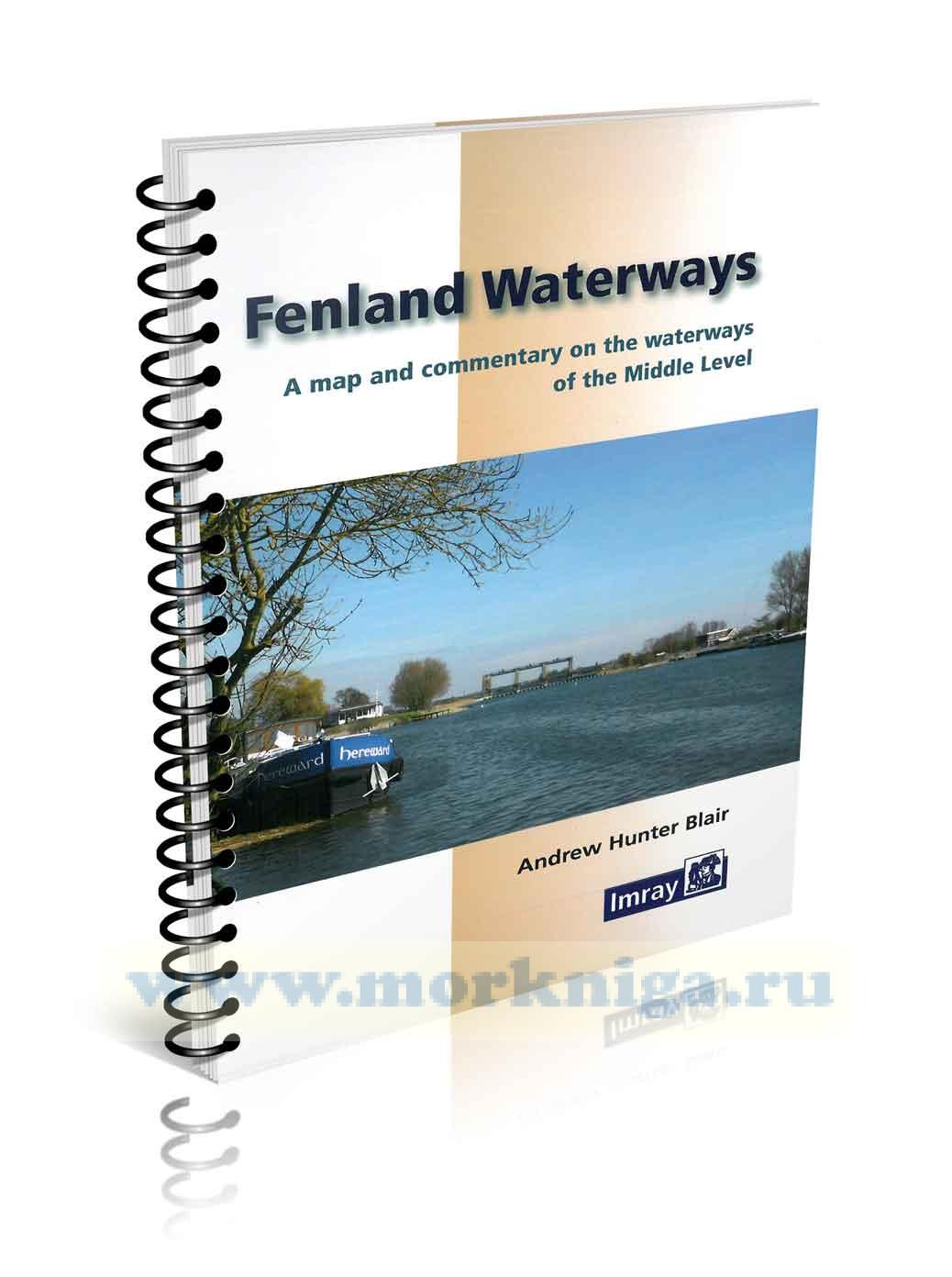
 Fenland Waterways Водные пути Фенленда
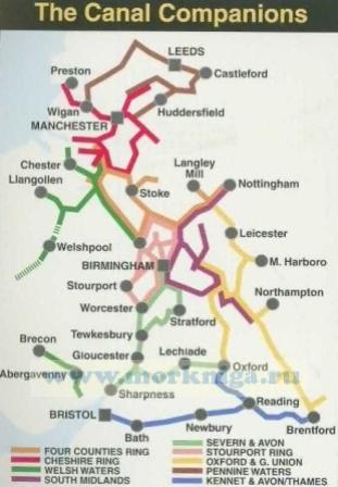
  Kennet & Avon, River Thames
  South Midlands & Warwickshire Ring