cм . также [url806013]Балеарские острова: Майорка, Менорка, Ибица и Форментера 10-я редакция islas baleares[/url806013], [url153660]30307 От Балеарских островов до островов Сардиния и...
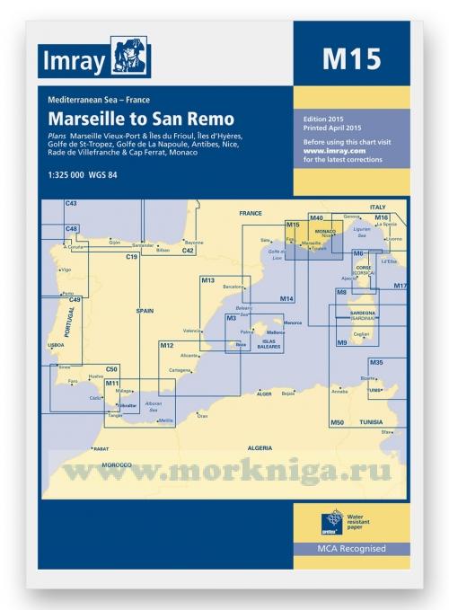
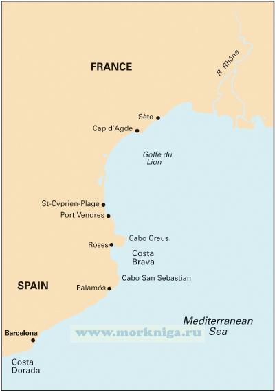
this is a comprehensive companion to the long coastline that ranges from spain and the edge of the pyrenees to the alpes maritimes and italy. it covers the flat country of languedoc-roussillon, the coast of the golfe du lion, the rhone delta and the camargue, the industrial golfe de fos, the cote...
since j w norie published the first edition of his complete set of nautical tables and epitome of practical navigation in 1803, many changes to the tables have been necessary in both content and presentation. new tables have been included, obsolete ones deleted to conform with changing techniques...
corrected to june 2019 Масштаб 1:220 000 См. также [url150241]33309 От острова Корчула до порта Сплит (Масштаб 1:100 000)[/url150241] [url150239]33307 От порта Дубровник до мыса Ловишче (Масштаб 1:100...
imray charts set the standard for the leisure sailor, with award-winning cartography compiled, drawn and published in england. our distinctive colour scheme, coloured light sectors and fine overprinted latitude and longitude grids make plotting easier. based on up-to-date hydrographic office...
the purpose of this book is to give a general understanding of the various phenomena concurring to determine weather in the [url279899]mediterranean[/url279899], and provide useful forecasting aids. it is written for sailors, not meteorologists; theory is kept to a minimum, while every effort is...
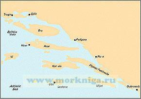
Масштаб 1:220000 См . также: [url806064]m24: Адриатическое море: Триест - Раб golfo di trieste to losinj & rab[/url806064] [url00-01006436]38323Б Подходы к порту Шибеник и гавани Плоче. Походы к гавани...
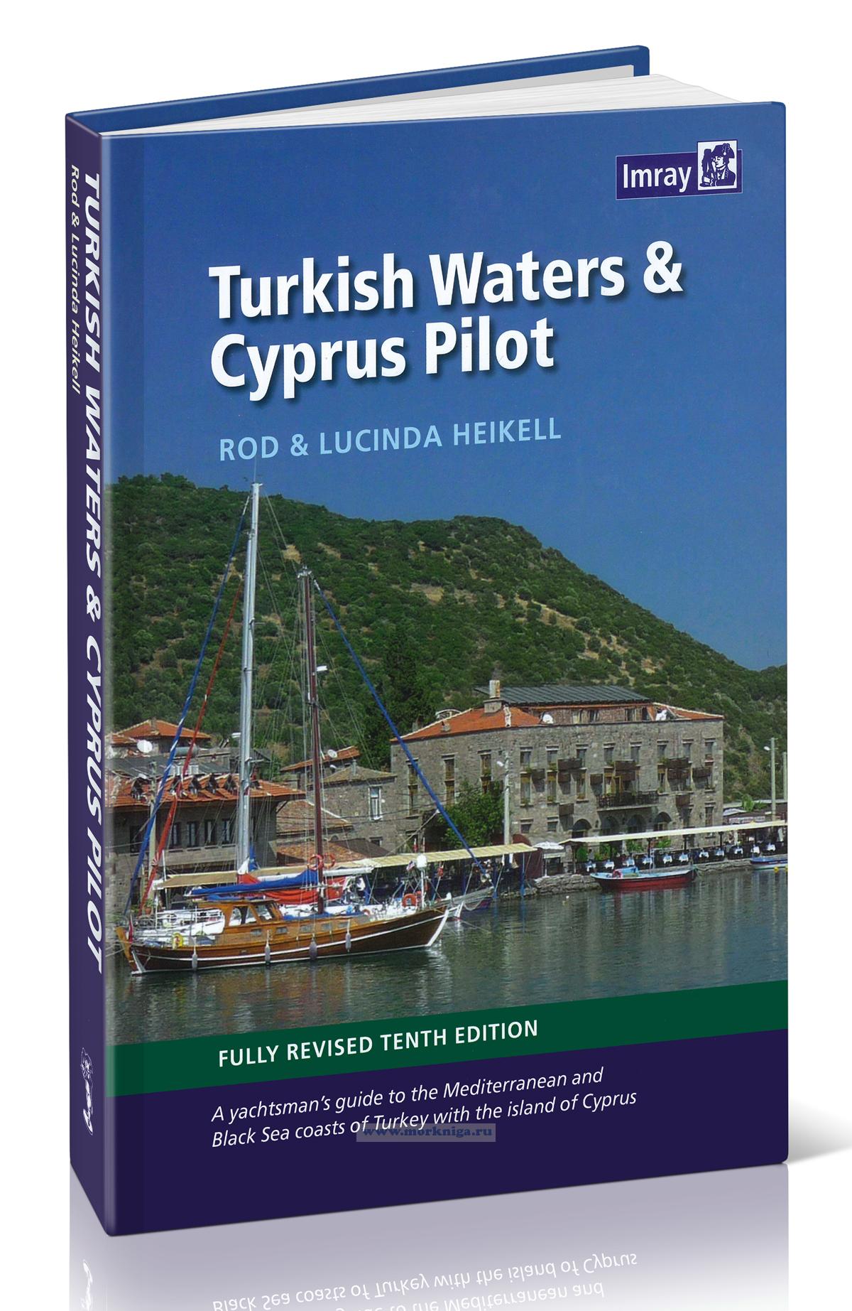
См . также перевод книги на русский язык [url00-00000937]Лоция вод Турции и Кипра[/url00-00000937] turkish waters and cyprus pilot covers the entire coast of turkey from the [url820093]black sea[/url820093] down the aegean coast and around to...
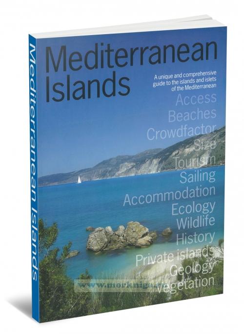
a unique and comprehensive guide to the islands and islets of the [url455355]mediterranean[/url455355], and essential reading for med lovers, island-devotees, sailors, 'escapers' and anyone dreaming of their next mediterranean holiday. mediterranean islands is a unique guide, providing detailed...
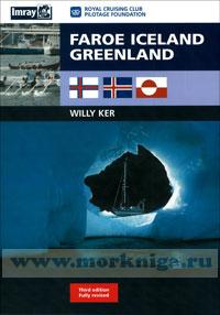
this book is about sailing in the north atlantic, roughly from latitude 60°n to the arctic circle (66°30'n) and, in greenland, into the regions of ice as far north as 71°n on the east coast (scoresbysund) and 78°n on the west coast (thule). not much more than 1,000 miles from britain as the...
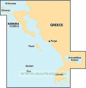
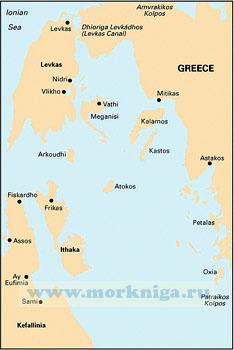
См . также: [url455365]ionian. Ионическое море[/url455365] [url150209]35304 Северная часть пролива Керкира (Масштаб 1:50 000)[/url150209] [url150185]32211 От острова Лефкас до мыса Кефали (Масштаб 1:200...
imray charts set the standard for the leisure sailor, with award-winning cartography compiled, drawn and published in england. our distinctive colour scheme, coloured light sectors and fine overprinted latitude and longitude grids make plotting easier. based on up-to-date hydrographic office...
См . также [url148511]31029 Восточная часть Ионического моря (Масштаб 1:500 000)[/url148511] [url806020]greek waters pilot Греция: Ионические острова, побережье и острова Эгейского моря 12-я...
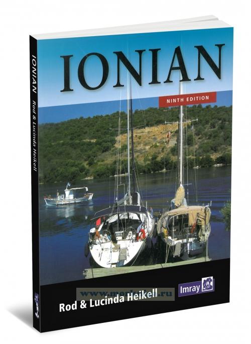
ionian corfu, levkas, cephalonia, zakinthos and the adjacent mainland coast to finakounda like its companions [url196935]west aegean[/url196935] and [url255657]east aegean[/url255657], ionian contains detailed information on many of the smaller harbours and anchorages which cannot be covered as...
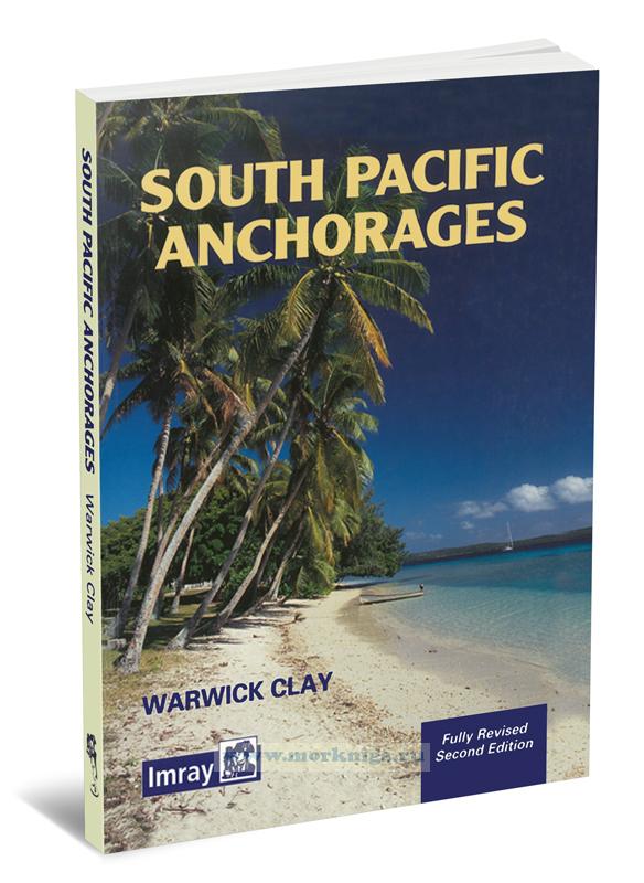
Издание на английском языке. this publication arose from my discovery that there were many beautiful anchorages which were not only uncharted but not described anywhere. furthermore, published information was often unavailable at the point in the cruise when it was...
Нажмите “ОК”, если вы соглашаетесь с условиями обработки cookie и ваших
данных о поведении на сайте, необходимых для аналитики. Запретить обработку cookie можете через браузер