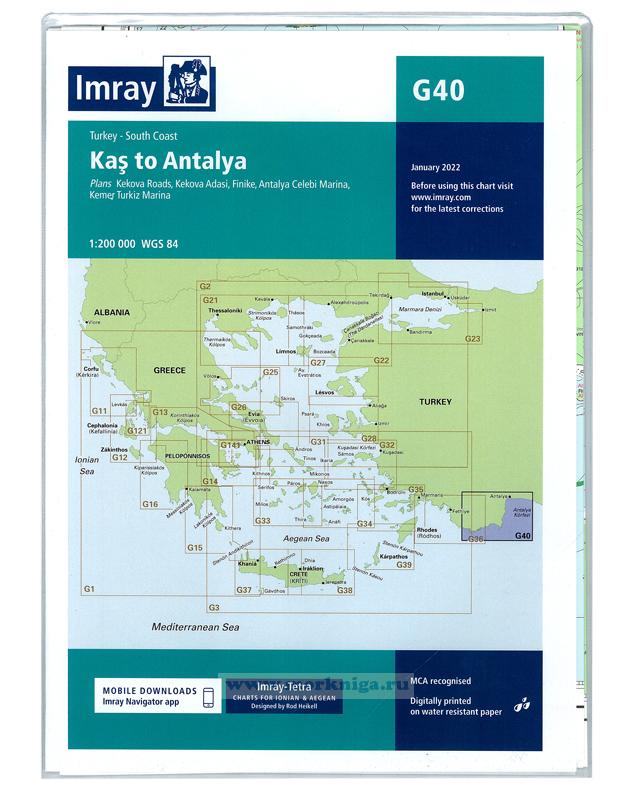
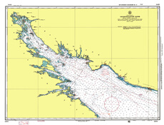
imray charts set the standard for the leisure sailor, with award-winning cartography compiled, drawn and published in england. our distinctive colour scheme, coloured light sectors and fine overprinted latitude and longitude grids make plotting easier. based on up-to-date hydrographic office...
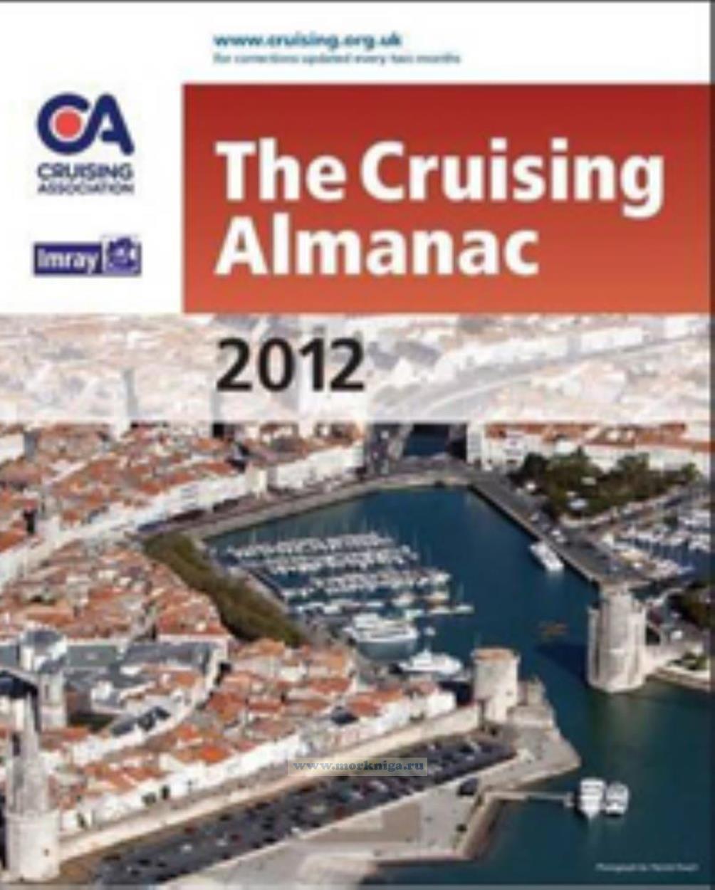
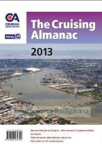
the cruising almanac is an annual publication, focussing particularly on the needs of the cruissing yachtsman by providing clear pilotage notes as well as all the usual almanac data. compiled by the cruising association and imray, it covers northwest europe from the shetlands to gibraltar and west...
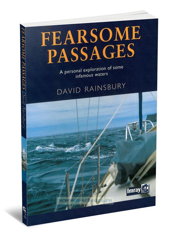
Издание на английском языке. 'fearsome passages' is an anthology of david rainsbury's articles previously published in the yachting press. each covers a channel or harbour entrance that is notorious for having difficult tide and current conditions. covering notorious...
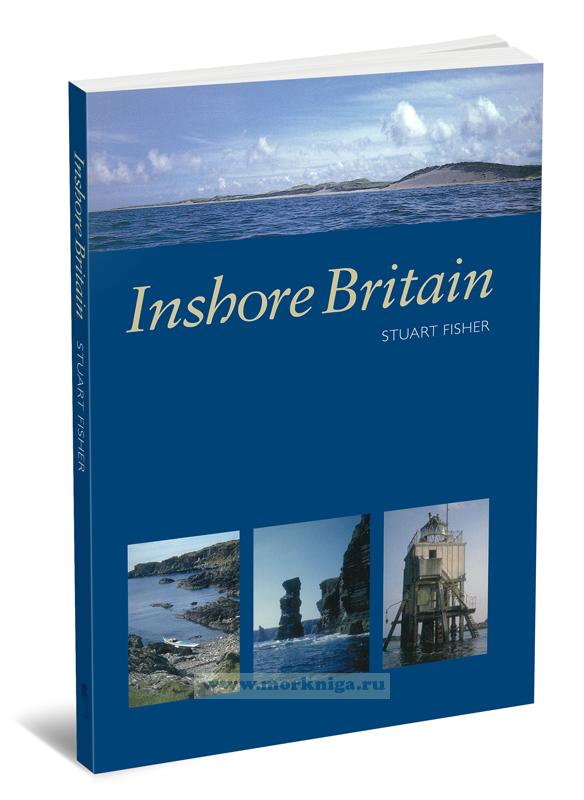
Издание на английском языке. 'inshore britain' is an anthology of articles, each dealing with a particular stretch of coast around britain, that were first published in canoeist magazine. stuart fisher's commentary is a fascinating read for anyone interested in...
the south coasts of devon and cornwall are the first or the last sight many a mariner has of england. whether running up-channel, bound east for london and northern europe, or beating ever westwards out into the stormy atlantic, these shores have been a haven, a guide and occasionally, the source...
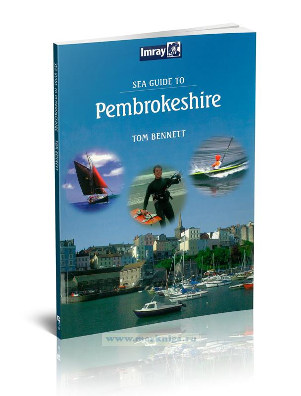
Книга на английском языке. pembrokeshire is an excellent cruising ground. its limestone cliffs to the south and impressive rugged scenery to the north, with hundreds of bathing beaches in between cannot be bettered anywhere on mainland britain. it also has 23 miles of...
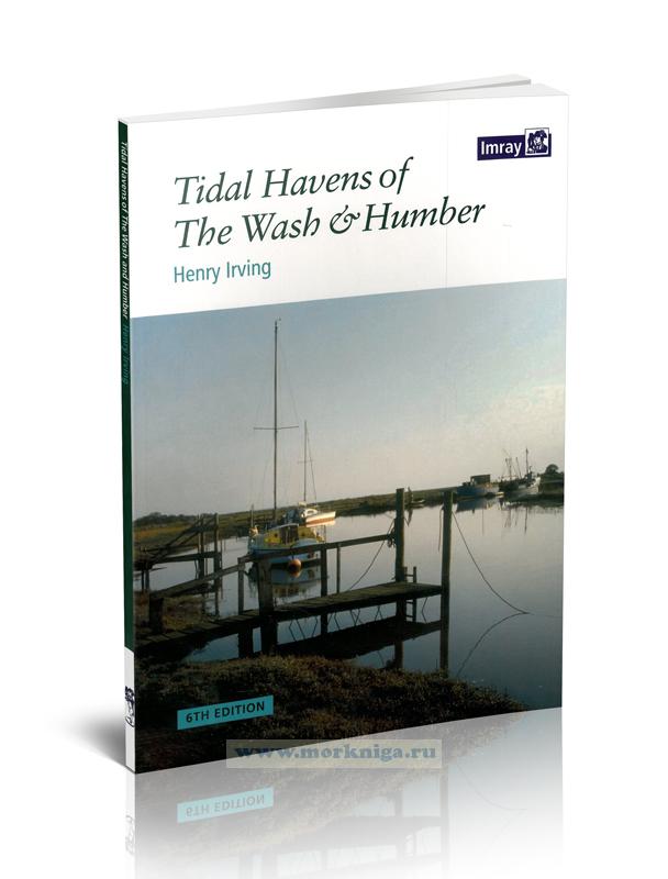
Издание на английском языке henry irving's long established guide to the nooks and crannies of this fascinating corner of the north sea is now in its 6th edition and is published in full colour. coverage of the flat coasts of norfolk, lincolnshire and the humber....
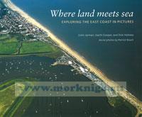
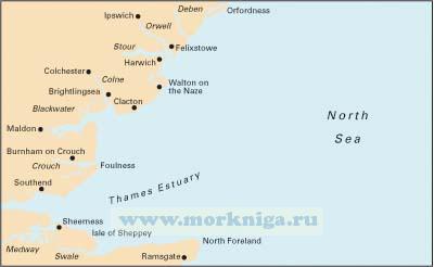
join us on a trip along the east coast of england, famous for its big skies, sea views, winding creeks, sand, shingle -and mud! our journey starts at lowestoft, once a premier fishing port and now rapidly being redeveloped as a yachting centre. we end at the mouth of the...
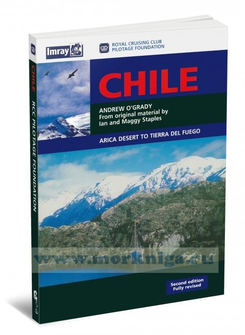
revised by andrew o'grady from original material by ian and maggy staples. this guide to [url806043]chile[/url806043] covers the coasts from arica in the inhospitable desert in the north to the glacial fjords of cape horn in the south. chile's vast coastline offers the complete range of scenery...
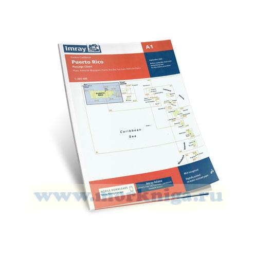
plan includes: san juan bahia de ponce puerto arecibo bahia de mayaguez См. также [url456007]a2 puerto rico to the virgin and leeward islands[/url456007] [url455999]a puerto rico to martinique[/url455999] [url149659]32622 Остров Пуэрто-Рико (Масштаб 1:200...
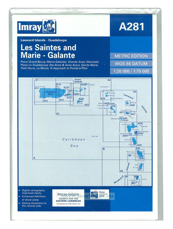
Карта на английском языке imray-iolaire charts for caribbean are widely acknowledged as the best available for the cruising sailor. they combine the latest official survey data with first-hand information gathered over 60 years of research by don street jr and his wide...
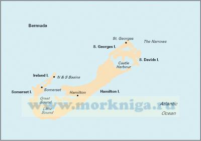
См. также [url272493]atlantic islands bermuda, azores, madeira group, canary islands and cape verdes Бермудские, Азорские острова, острова Мадейра, Канарские острова и мыс Вердес[/url272493], [url154006]25799...
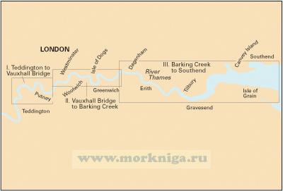
teddington to southend in three panels richmond bridge to vauxhall bridge (1:13 700) vauxhall bridge to barking creek (1:16 500) barking creek to southend (1:40 400) on this edition depths from the latest surveys have been applied throughout. the chart also now shows the london gateway...
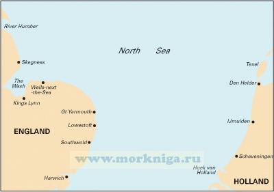
corrected to august 2018 plans included: oudeschild (1:15 000) den helder (1:21 000) ijmuiden (1:35 000) scheveningen (1:10 000) on this edition the latest depth surveys have been included. the developments at ijmuiden are included. the latest wind farm information is shown across the chart....
Нажмите “ОК”, если вы соглашаетесь с условиями обработки cookie и ваших
данных о поведении на сайте, необходимых для аналитики. Запретить обработку cookie можете через браузер