

Каталог▲▼
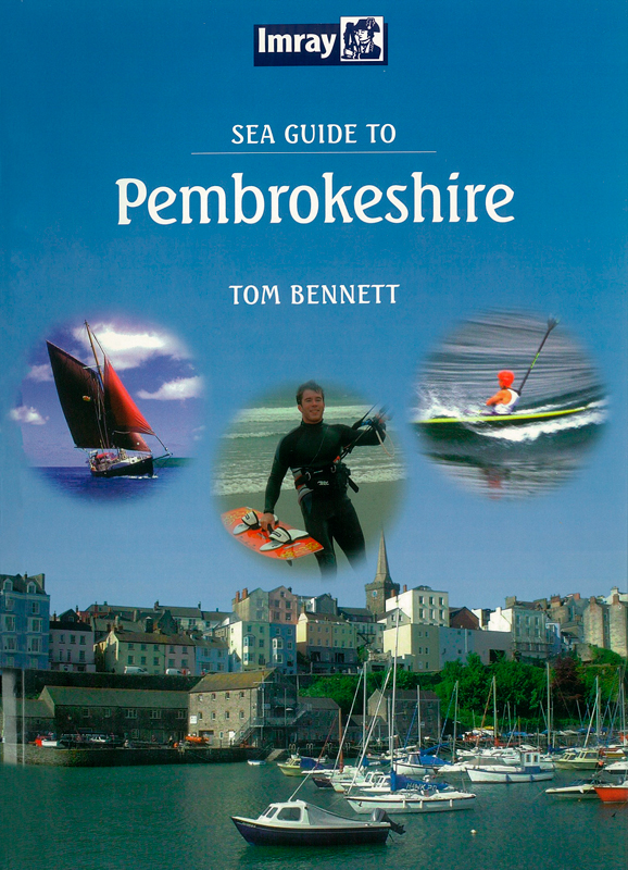
Sea Guide to Pembrokeshire. Морское руководство по Пембрукширу


Артикул: 00455409
в желания В наличии
Автор: Tom Bennett
Издательство: Imray (все книги издательства)
Место издания: England
ISBN: 9780852889909
Год: 2006
Переплет: Мягкий переплет
Страниц: 104
С этим товаром покупают
 Inshore Britain. Прибрежная Британия
 Книга на английском языке.
Pembrokeshire is an excellent cruising ground. Its limestone cliffs to the south and impressive rugged scenery to the north, with hundreds of bathing beaches in between cannot be bettered anywhere on mainland Britain. It also has 23 miles of natural waterway within Milford Haven. Here gentle wooded valleys and wading birds are a peaceful retreat only an hour’s sail away from the hustle and bustle of oil tanker traffic in one of Britain’s busiest ports. The entire coast is fringed by Pembrokeshire Coast National Park with offshore islands that are internationally renowned bird reserves.
Contents
Introduction
Purpose, glossary and abbreviations used
Section 1
Area one Cardigan, Newport, Fishguard
1.1 General description
1.2 Cardigan Estuary
1.3 St Dogmael’s
1.4 Ceibach
1.5 Ceibwr
1.6 Newport
1.7 Cat Rock
1.8 Aberfforest
1.9 Cwm yr Eglwys
1.10 Pwllgwaelod
1.11 Fishguard
1.12 Lower Fishguard
1.13 Passage Notes
1.14 Tidal Streams
Area two Strumble Head, St David’s Head
2.1 General Description
2.2 Carregwasted Point
2.3 Strumble Plead
2.4 Abermawr
2.5 Abercastle
2.6 Porthgain
2.7 Blue Lagoon, Abereiddy
2.8 Abereiddy Sledges
2.9 St David’s Head
2.10 Passage Notes
2.11 Tidal Streams
Area three Ramsey Island & Ramsey Sound
3.1 General Description
3.2 Porthmelgan
3.3 Whitesands
3.4 Ramsey Sound
3.5 Porthstinian
3.6 The Waterings
3.7 Abermawr, Ramsey Island
3.8 Passage: Ramsey Sd from North
3.9 Passage: Ramsey Sd from South
3.10 Passage: West Ramsey Is.from North
3.11 Passage: West Ramsey Is.from South
3.12 Tidal Streams
Area four St Brides Bay and Solva
4.1 General Description
4.2 Porthllysgi
4.3 Stodair Rock
4.4 Half Tide Rock (Porthclais Rock)
4.5 Porthclais
4.6 Caerfai Bay
4.7 Caerbwdi
4.8 Solva
4.9 Dinas Fawr, Porth-y-Bwch
4.10 Dinas Fach
4.11 Newgale
4.12 Nolton Haven
4.13 Druidston Haven
4.14 Broadhaven
4.15 Little Haven
4.16 Goultrop
4.17 Stack Rocks
4.18 St Brides Haven
4.19 Musselwick
4.20 Martin’s Haven
4.21 Passage Notes
4.22 Tidal Streams
Area five Grassholm Island and The Smalls
5.1 General Description
5.2 Grassholm
5.3 Hats & Barrels
5.4 Smalls
5.5 Passage Notes
5.6 Tidal Streams
Area six Skomer, Jack Sound, Skokholm
6.1 General Description
6.2 Skomer Marine Nature Reserve
6.3 North Haven, Skomer
6.4 Jack Sound
6.5 South Haven
6.6 Little Sound
6.7 Albion Beach
6.8 Skokholm Island
6.9 Broad Sound
6.10 Passage Notes: Wildgoose Race
6.11 Passage: Skokholm Island
6.12 Passage: Jack Sound from South
6.13 Passage: Jack Sound from North
6.14 Tidal Streams
Area seven Dale, Milford Haven, Neyland
7.1 General Description
7.2 Entrance Approach
7.3 Watwick Beach
7.4 Castlebeach
7.5 Dale
7.6 Longoar Bay
7.7 Sandy Haven
7.8 Gelliswick
7.9 Milford Haven Docks & Marina
7.10 Milford Shelf
7.11 Castle Pill
7.12 Hazelbeach
7.13 Neyland Yacht Club & Pontoon
7.14 Neyland Yacht Haven (Marina)
7.15 Dale Sailing Fuel Pontoon
7.16 Cleddau Bridge
7.17 Passage Notes
7.18 Tidal Streams
Area eight Upper Haven and Lawrenny
8.1 General Description
8.2 Burton
8.3 Rudder’s Boatyard
8.4 Rhoose Ferry, Williamston Pill
8.5 Benton Castle South
8.6 Benton Castle Reach
8.7 Port Lion
8.8 Llangwm & Black Tar
8.9 Western Cleddau & Haverfordwest
8.10 Slebech
8.11 Landshipping
8.12 Lawrenny
8.13 Cresswell Quay
8.14 East Llanion
8.15 Passage Notes
8.16 Tidal Streams
Area nine Pembroke Dock, Castle Pond, Angle
9.1 General Description
9.2 Hobbs Point
9.3 Front Street, Pembroke Dock
9.4 Castle Pond, Pembroke
9.5 Crow Pool, Pennar Gut
9.6 Angle
9.7 Chapel Bay
9.8 Thorn Island
9.9 West Angle
9.10 Passage Notes
9.11 Tidal Streams
Area ten Crow, St Govan’s Head, Lydstep
10.1 General Description
10.2 Firing Range
10.3 Freshwater West
10.4 Crow & Toes
10.5 Bullslaughter Bay
10.6 St Govan’s Head
10.7 Broad Haven South
10.8 Stackpole Hd/Barafundle
10.9 Stackpole Quay
10.10 Freshwater East
10.11 Manorbier
10.12 Lydstep
10.13 Passage Notes
10.14 Passage: Stackpole to Milford Haven
10.15 Tidal Streams
Area eleven Caldey Island & Caldey Sound
11.1 General Description
11.2 Caldey Sound
11.3 Eel Point
11.4 Priory Bay
11.5 Jones’ Bay
11.6 Sandtop Bay
11.7 Caldey Lights & Buoys
11.8 Passage Notes
11.9 Tidal Streams
Area twelve Tenby & Saundersfoot
12.1 General Description
12.2 Tenby
12.3 Monkstone
12.4 Saundersfoot
12.5 Wiseman’s Bridge
12.6 Amroth
12.7 Passage Notes
12.8 Tidal Streams
Section two Surf and Beaches Guide
Section three Sea Kayak Guide
Section four Tidal information
Tidal Tips
Tidal streams: St David’s/Ramsey Island
Caldey Island to Skomer Island
Skomer Island to Caldey Island
Skomer and Skokholm Island
Section five Maps and charts
Beaches
Cardigan Estuary Solva
Ramsey Island
Jack Sound
Sandy Haven Bay
Milford Haven
Caldey Island
Appendices
Climate and weather information
Drying out places, fuel and water
Pick up points and slipways
Lights and buoys
Distance tables
Passage waypoints
Passage plan to Ireland
Principal lighthouses and bouys
Pembrokeshire’s sea life
Cetaceans/Dolphin Guide
Lifeboats and Longboats
Telephone numbers
Activity centres Index
Отзывы покупателей (0)
У этого товара пока нет отзывов. Поделитесь впечатлением первым.