this is the only comprehensive directory to the entire navigable german waterway system available in english. after a general introduction to the area, details of german formalities and cruising notes, each river and canal is described in detail and supported by a table of distances indicating...
Книга на английском языке. a map and directory designed as a first source of information when planning a trip on the waterways of europe. double-sided. side one - europe from ireland and portugal to the caspian sea - dimensions 1210 x 870 mm. scale 1:4 000 000 -...
См . также [url820202]Греция, острова Кикладского архипелага, справочник-путеводитель для яхтсменов, на русском языке[/url820202] imray charts set the standard for the leisure sailor, with award-winning...
corrected to june 2018 Масштаб 1: 1100000 На карте имеются план: stretto di messina (1:125 000) Карта складывается до размера А4 в пластиковый карман. См . также [url806015]corsica and north sardinia Корсика...
on this 2021 edition the chart specification has been improved to show coloured light flashes. various completed harbour works are included. depths have been updated from the latest surveys where available. the latest firing practice areas are included. there has been general updating throughout. ...
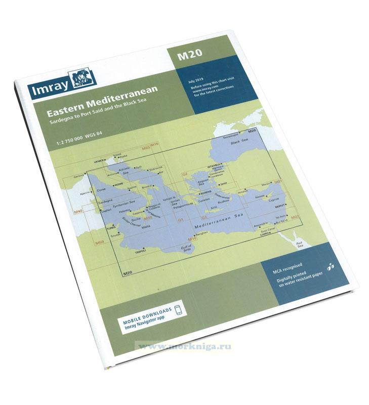
imray charts set the standard for the leisure sailor, with award-winning cartography compiled, drawn and published in england. our distinctive colour scheme, coloured light sectors and fine overprinted latitude and longitude grids make plotting easier. based on up-to-date hydrographic office...
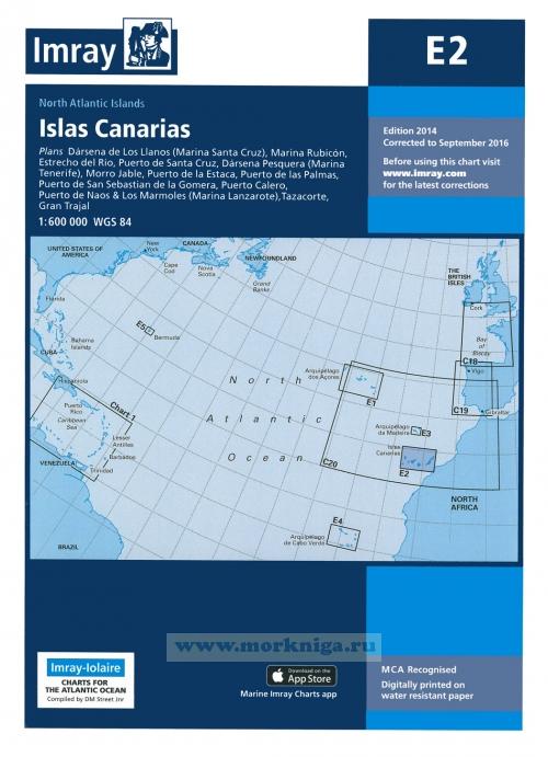
plans darsena de los llanos (marina santa cruz), marina rubicon, estrecho del rio, puerto de santa cruz, darsena pesquera (marina tenerife), morro jable, puerto de las palmas, puerto de san sebastian de la gomera, puerto calero, puerto de naos & los marmoles (marina lanzarote), tazacorte, gran...
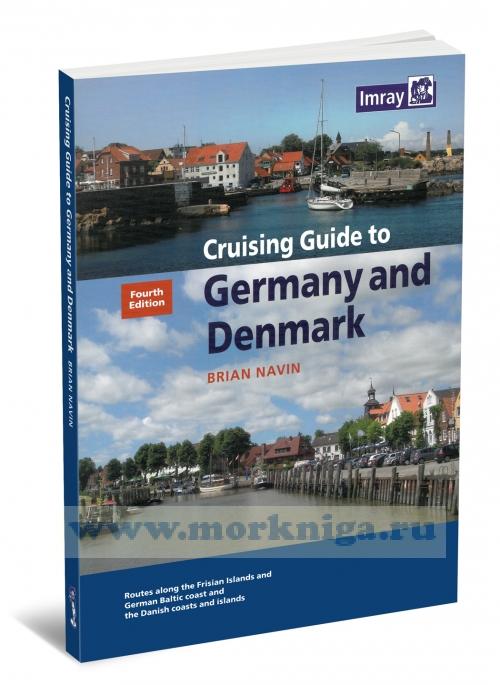
covering the [url455404]north sea[/url455404] and baltic coasts of germany and denmark, this guide is a companion to brian navin's north sea passage pilot and [url512988]cruising guide to the netherlands[/url512988]. it is organised on the basis of carefully selected routes which pick up most of...
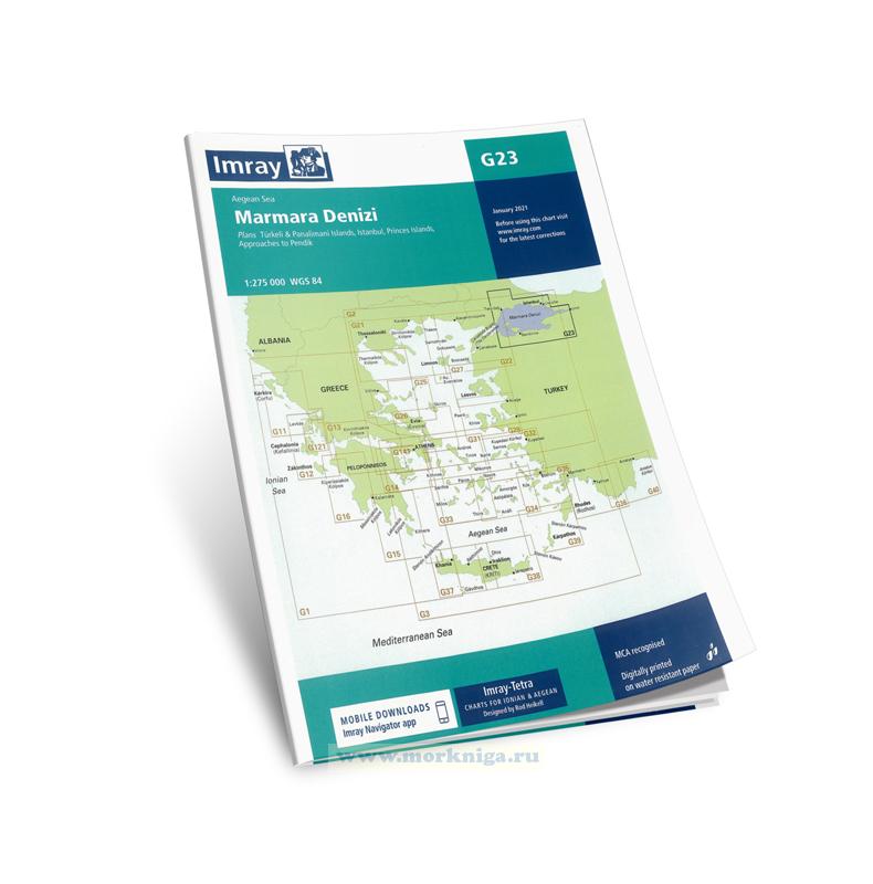
Издание на английском языке. the scale and coverage of the chart has been adapted from official charts to the requirements of small boat users under the direction of rod heikell with additional information on navigation and harbours from his own surveys. for additional...
every effort has been made to ensure the accuracy of this book. it contains selected information and thus is not definitive and does not include all known information on the subject in hand; this is particularly relevant to the plans, which should not be used for navigation. the author believes...
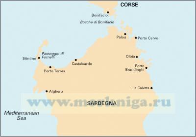
Масштаб 1:255.000 wgs 84 На карте имеются планы: la maddalena archipelago - southern group (inc. approaches to cervo) golfo di cugnana golfo spurlatta passaggio dei fornelli porto torres approaches to algher Карта складывается до размера...
whilst the rcc pilotage foundation, the author and the publishers have used reasonable endeavours to ensure the accuracy of the content of this book, it contains selected information and thus is not definitive. it does not contain all known information on the subject in...
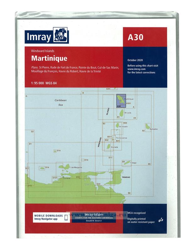
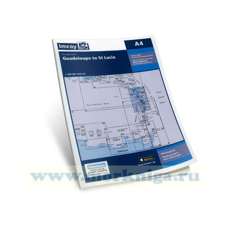
Издание на английском языке donald m street jr, the well known yachting author who owned the 46' engineless yawl lolaire for 53 years, has been working with imray to compile imray-lolaire charts since 1979. as a veteran of several hurricanes during more than 60 years...
corrected to november 2016 about imray charts imray charts set the standards for the leisure sector with award-winning cartography compiled, drawn and published in england. they feature our distinctive colour scheme, coloured light sectors and fine overprinted latitude and longitude grids to make...
Нажмите “ОК”, если вы соглашаетесь с условиями обработки cookie и ваших
данных о поведении на сайте, необходимых для аналитики. Запретить обработку cookie можете через браузер