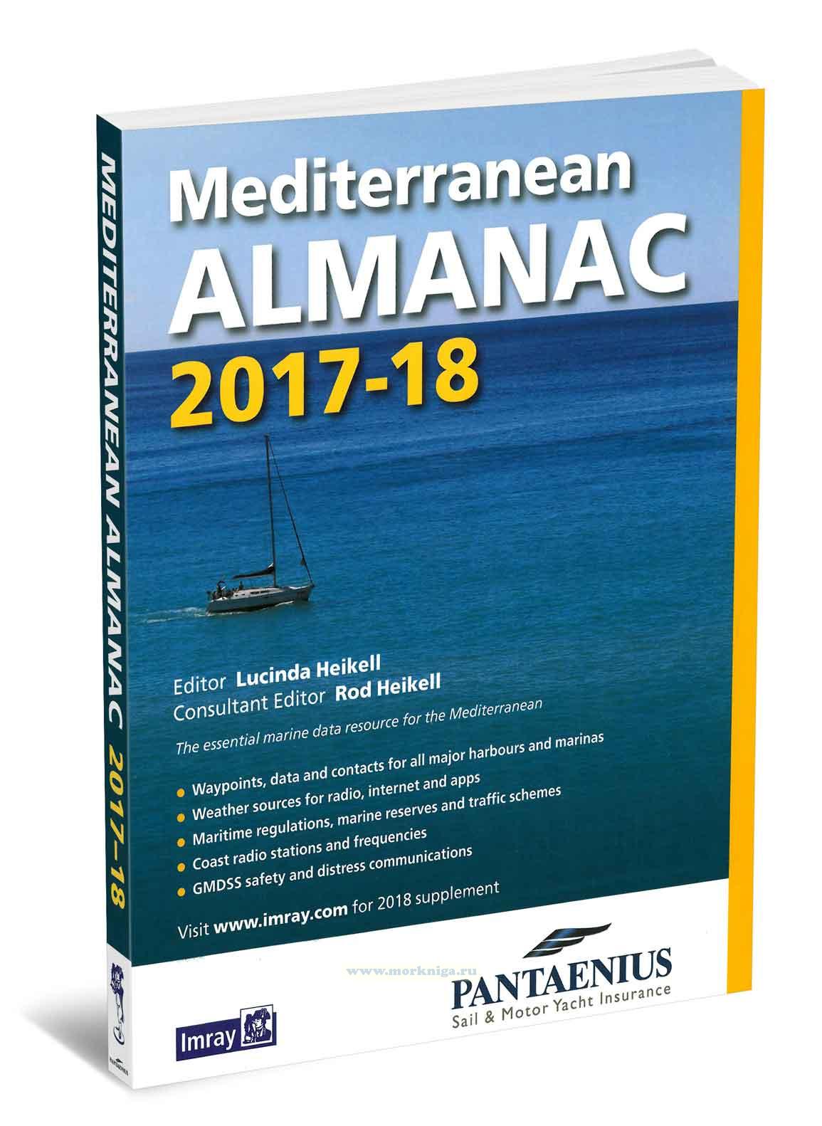
См . также [url00-01024457]новое издание[/url00-01024457]. the essential companion and general handbook for the[url455597] mediterranean[/url455597], the imray mediterranean almanac 2017/18 is published in full colour. all the harbour plans appear in the familiar imray livery...
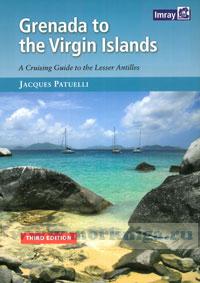
this popular book covering the caribbean from grenada and barbados to the virgin islands is a translation from jacques patuelli's original french version. each island is dealt with in detail and pilotage notes are followed by tourist information and the usual data on formal ities and facilities. ...
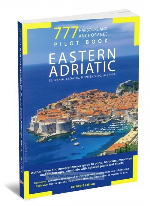
777 contains detailed, up-to-date information on more than 1000 ports and anchorages. the technical details of greatest interest to pleasure yachters are combined with useful information on each harbour and anchorage, including phone contacts for marinas and harbourmasters, available facilities and...
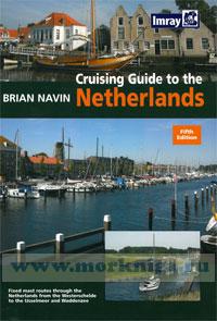
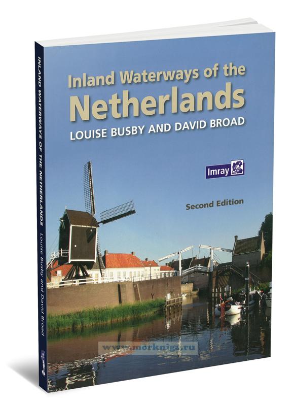
preface to the fifth edition each successive edition of this book since 1988 has seen improvements to cruising conditions in a country which places boating at the top of its tourist priorities. the netherlands has a fascinatingly complex network of waterways and lakes with a huge infrastructure...
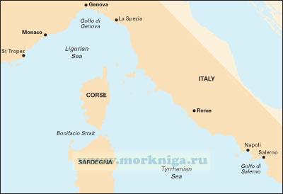
Масштаб 1: 950000 Включает планы: monte argentario bonifacio straits golfo di salerno Карта сложена до формата А4 и упакована в пластиковый карман. См . также: [url204170]Лоция Тирренского и...
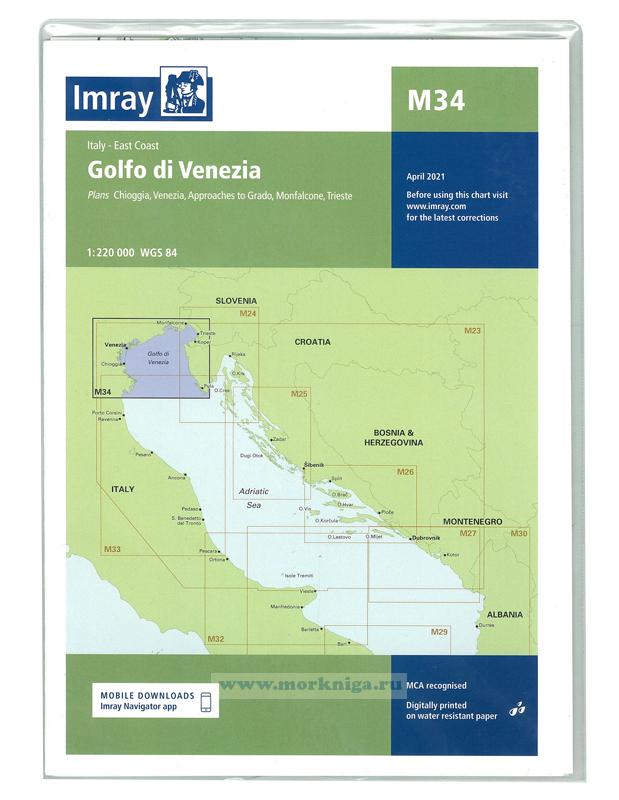
Карта на английском языке imray charts set the standard for the leisure sailor, with award-winning cartography compiled, drawn and published in england. our distinctive colour scheme, coloured light sectors and fine overprinted latitude and longitude grids make plotting...
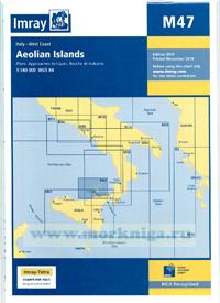
Карта складывается до формата А4 в пластиковый карман. См . также [url154220]32320 Липарские острова (Эолие) с Мессинским проливом (Масштаб 1:200 000)[/url154220]
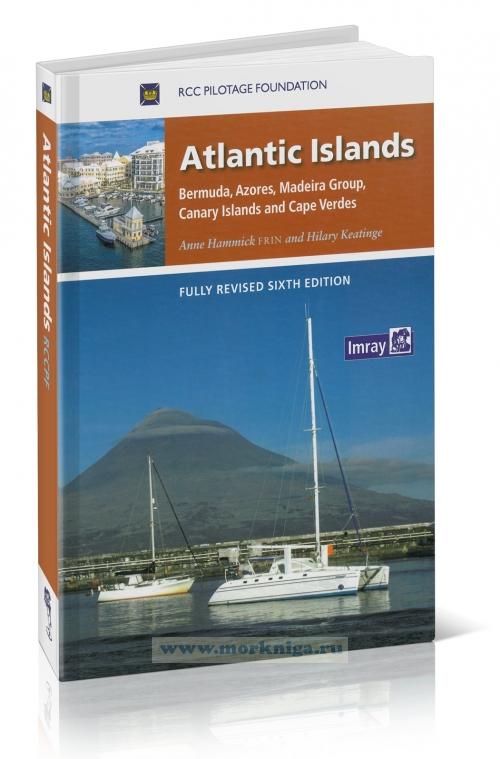
rcc pilotage foundation atlantic islands will reach its 30th year during this 6th edition. unique amongst the rccpf publications it has remained under the same authorship for all of this time. the pilotage foundation remains deeply indebted to anne hammick for creating and nurturing atlantic...
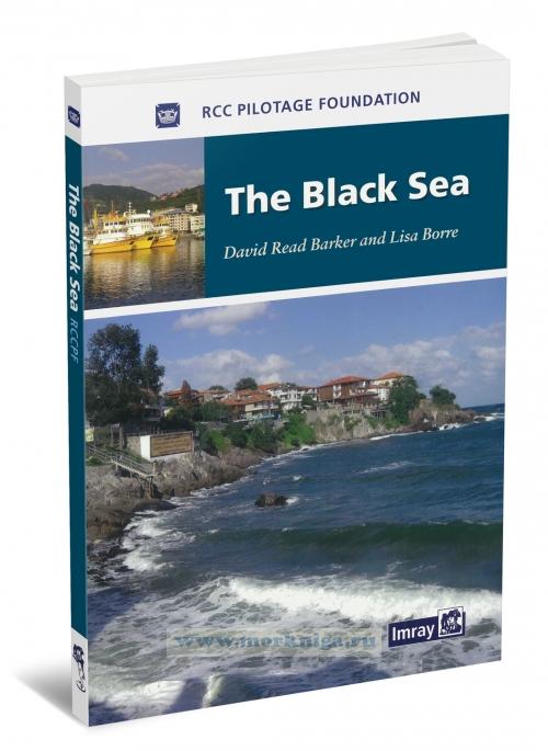
based on previously published cruising notes this guide provides sailing directions for all the countries surrounding the [url201695]black sea[/url201695]. packed with useful background information and supported by the rccpf’s access to the latest and often changing information this is an...
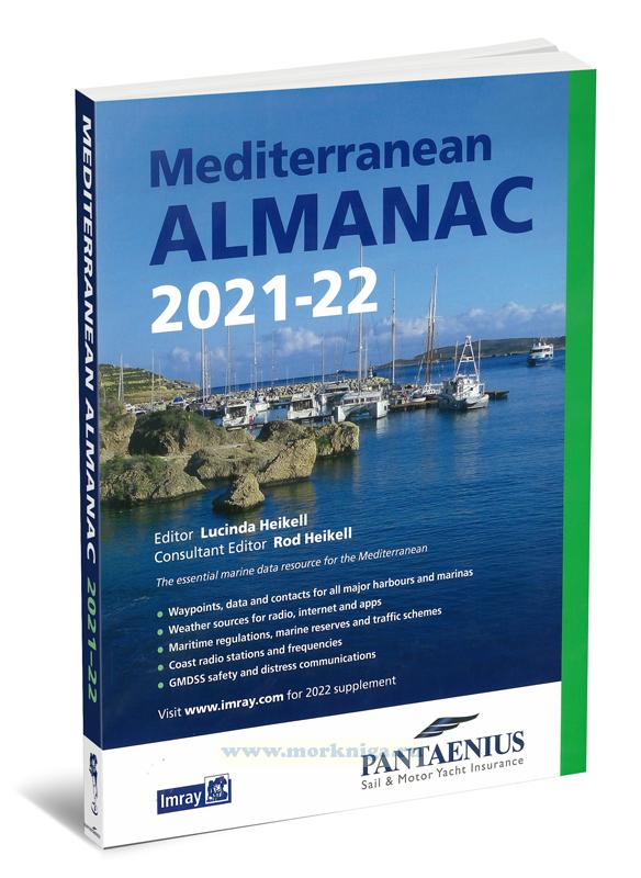
the essential marine data resource for yachts sailing the mediterranean, the imray mediterranean almanac is published biennially with updates available in a downloadable supplement at the end of the first year. contents 1. about the almanac 1.1 introduction 1.2 nomenclature 1.3...
all imray charts are based on wgs 84 datum as indicated in the catalogue. apart from some of the imray-lolaire charts of the caribbean sea, all are metric. every chart includes details of the datum and projection on which it was based, to allow it to be used safely with satellite navigation...
Издание на английском языке the netherlands is a wonderful country for family sailing. it also very suitable for those who like to potter, and for those who have limited holiday time and prefer not to risk being gale bound for much of it. at the same time i know a number...
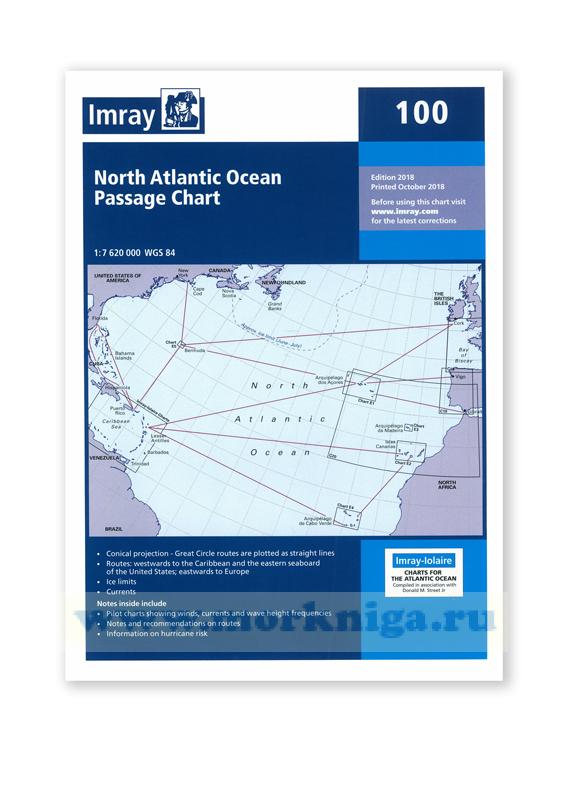
at a scale of 1:7,620,000 this chart covers the [url00-01007136]north atlantic[/url00-01007136] from brazil to newfoundland and gibraltar to the caribbean. it has been constructed on a conical projection that means that great circle tracks can be plotted as straight lines rather than curves. chart...
Нажмите “ОК”, если вы соглашаетесь с условиями обработки cookie и ваших
данных о поведении на сайте, необходимых для аналитики. Запретить обработку cookie можете через браузер