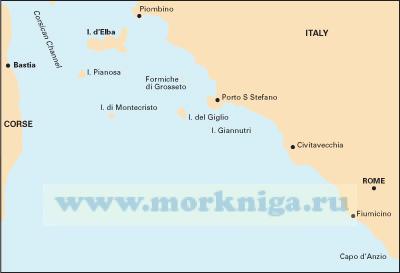
См. также [url252488]m32 Адриатическое море. Южное побережье Италии adriatic italy (south)[/url252488] [url806017]italian waters pilot Италия: Западное побережье Италии, Сардиния, Сицилия,...
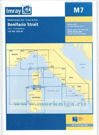
Масшаб 1: 65.000 wgs 84 Крупномасштабная карта пролива Бонифачо между Корсикой и Сардинией включая Маддалену. Карта охватывает район между [url456099]m6 corsica[/url456099] and...
Издание на английском языке whilst the publishers and author have used reasonable endeavours to ensure the accuracy of the contents of these sailing directions they contain selected information and thus are not definitive and do not include all known information for each...
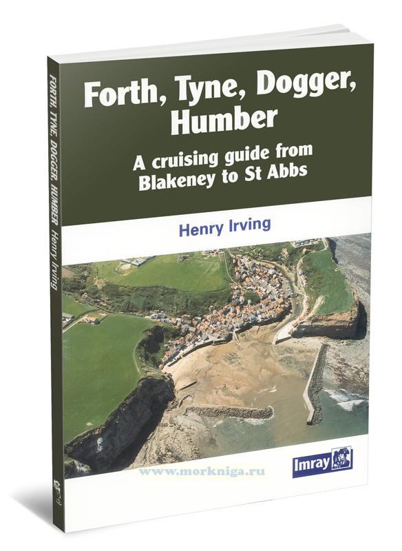
Издание на английском языке this new guide provides coverage north from the humber. a detailed and entertaining guide to the remarkable variety of harbours and havens along the yorkshire and northumberland coasts, the pilot is fully illustrated in color with charts and...
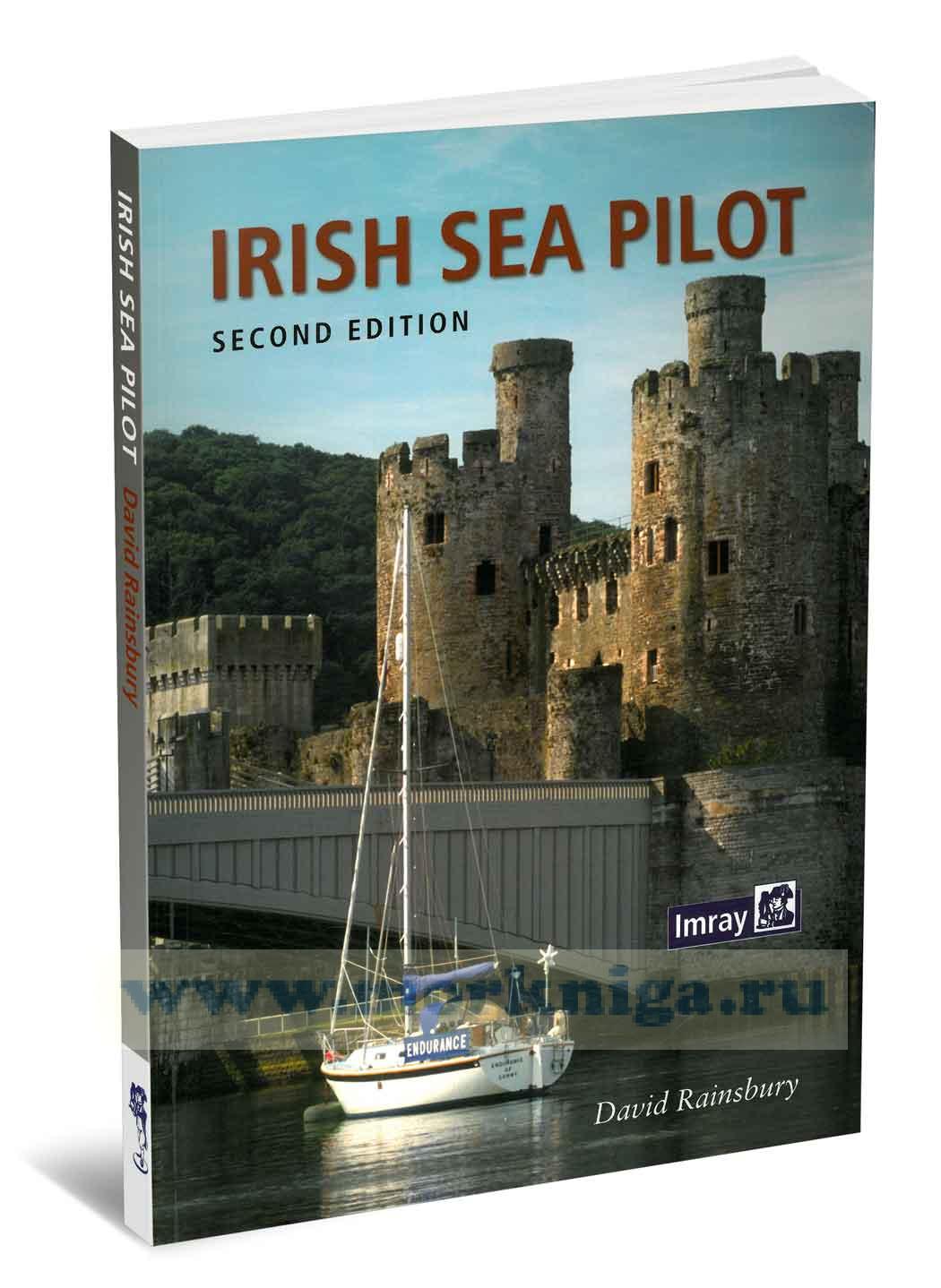
the [url148470]irish sea[/url148470] is a huge, almost landlocked sea. around its shores and islands there are no fewer than six countries, provinces or protectorates. several languages are represented; english, welsh, irish, scots gaelic and manx, along with countless accents and dialects. its...
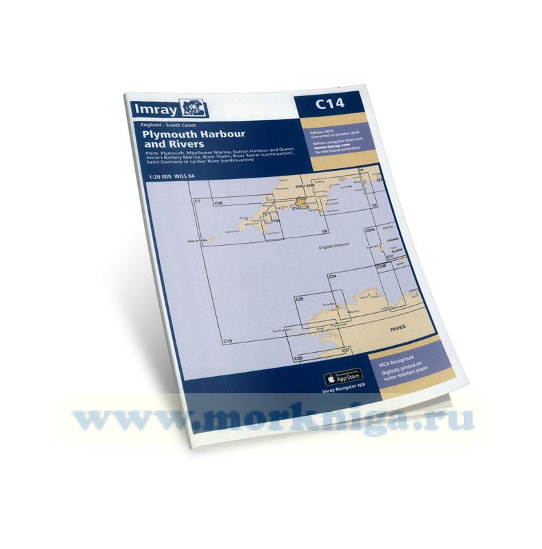
corrected to october 2018 plans included: plymouth (1:12 500) mayflower marina (1:4500) sutton harbour and queen anne’s battery marina (1:4500) river yealm (1:12 500) continuation of river tamar (1:20 000) continuation of saint germans or lynher river (1:20 000) on this edition the latest...
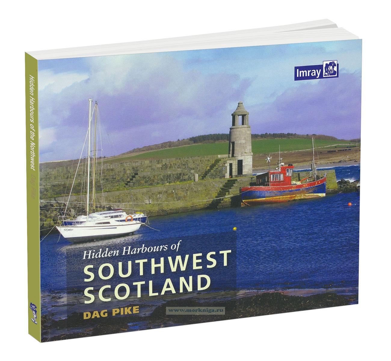
Издание на английском языке hidden harbours of southwest scotland is a lively tour of small and infrequently visited harbours on the stunning scottish coast and its nearby islands, starting from port logan in the south and meandering northwards to lerags on loch feochan...
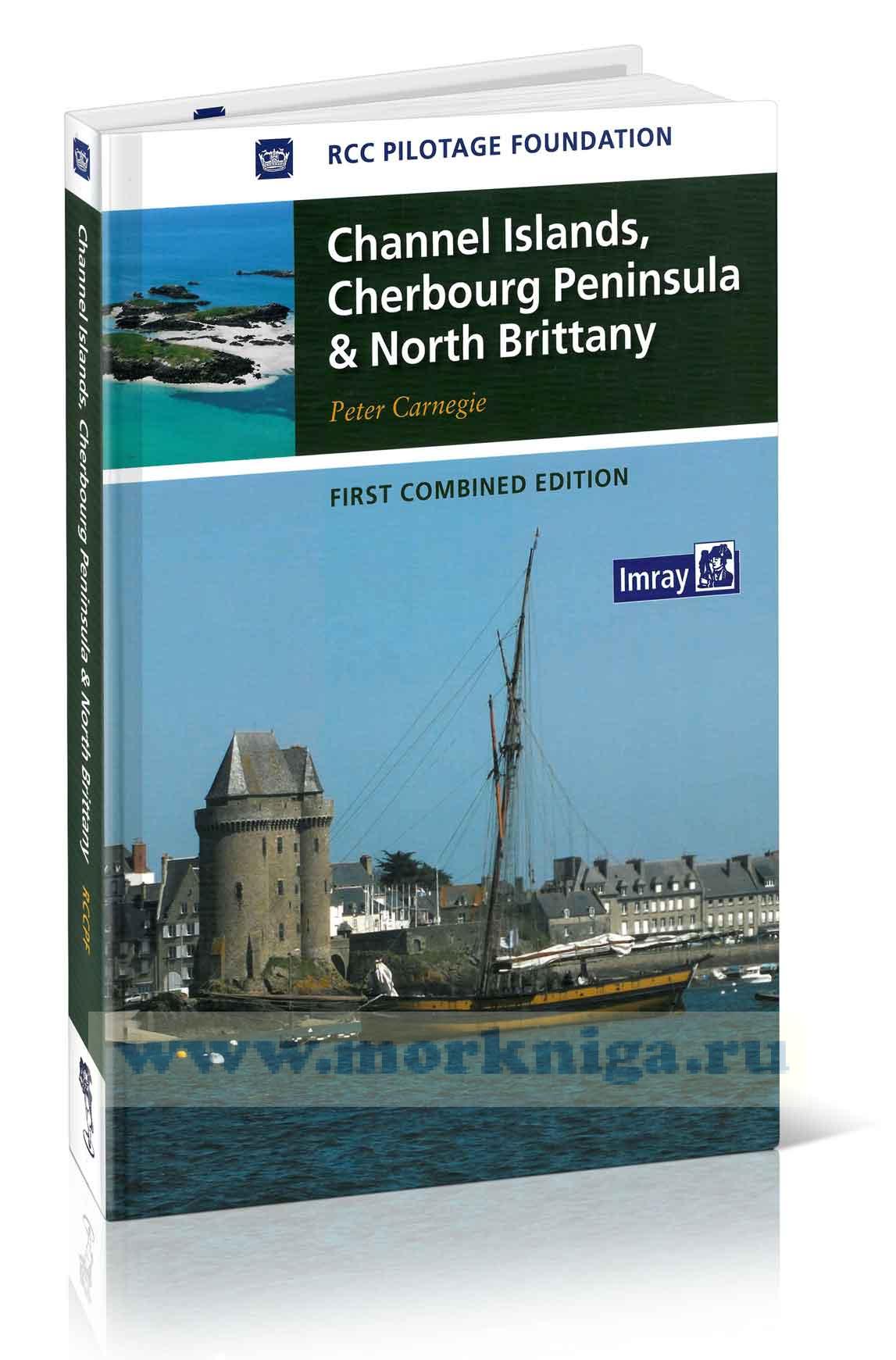
the cherbourg peninsula, le cotentin, has close historical and cultural links with the islands which at their nearest point are a mere eight miles away. in addition to covering its main ports and harbours, st vaast - la hougue, cherbourg and granville, i have included several minor ones which may...
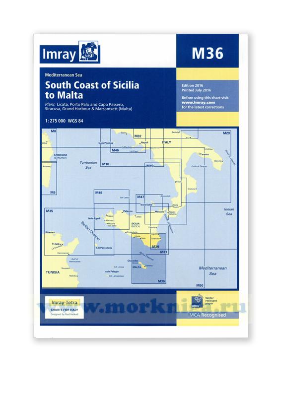
plans included: licata (1:20,000) porto palo and capo passero (1:100,000) siracusa (1:35,000) grand harbour & marsamxett ([url150115]malta[/url150115]) (1:15,000) 2016 edition, printed: july 2016 Масштаб : 1:275 000 Размер : 64 x 90 см Карта...
Издание на английском языке for some, sailing experience is measured through harbours visited and miles logged. but, certain stretches of water pose unique challenges and their reputations hold a strange power in the imagination of all who set sail. completing one of...
Книга на английском языке the west coast of scotland is an area where one could spend a lifetime and still not see or experience it all. it is rich in history and stunning scenery as well as having a great variety of wildlife. this book contains some of patrick roach’s...
five years ago rod and lu heikell set out in skylax on a circumnavigation and the opening part of the trade wind foodie is an account of the successive westbound passages, first to the caribbean and then on through the panama canal to the pacific, australia and the indian ocean. there's plenty of...
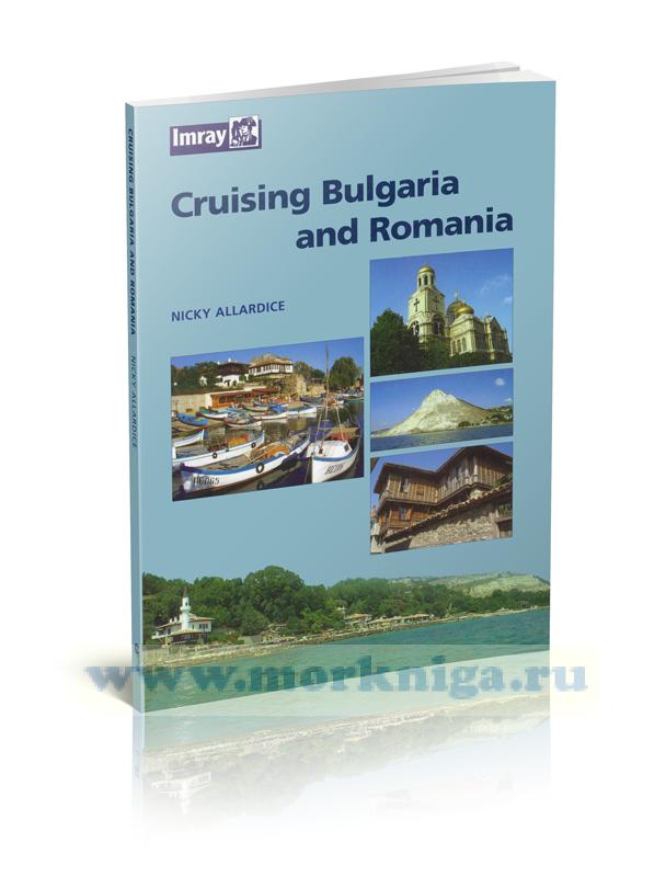
cruising [url00-01020420]bulgaria[/url00-01020420] and[url00-01019945] romania[/url00-01019945] aims to encourage many more yachtsmen to discover the pleasures of cruising the lower danube and the western black sea, to visit the ports and harbours (both antique and modern) and the miles of unspoilt...
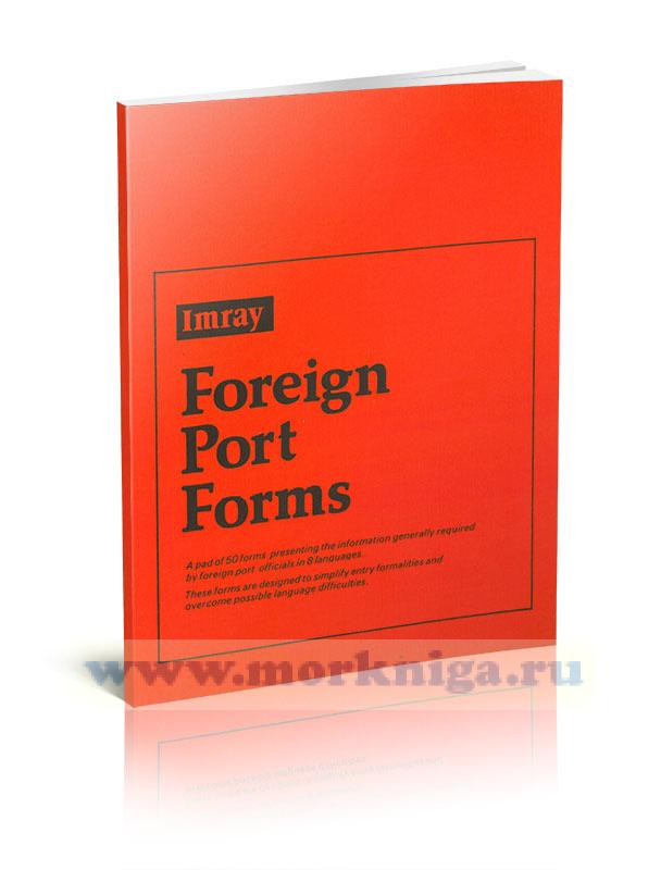
a pad of 50 [url819396]forms[/url819396] presenting the information generally required by port officials in eight different languages. an invaluable aid to yachtsmen cruising international waters. these forms are designed to simplify entry formalities in foreign ports and eliminate possible...
Издание на английском языке. the scale and coverage of the chart has been adapted from official charts to the requirements of small boat users under the direction of rod heikell with additional information on navigation and harbours from his own surveys. for additional...
Нажмите “ОК”, если вы соглашаетесь с условиями обработки cookie и ваших
данных о поведении на сайте, необходимых для аналитики. Запретить обработку cookie можете через браузер