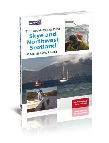
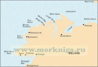
this pilot covers the most remote areas of the west coast of scotland between ardnamurchan point and cape wrath and the island of skye. martin lawrence has completely revised the text and for this edition has added new photographs taken from both the air and sea. the use of full colour throughout...
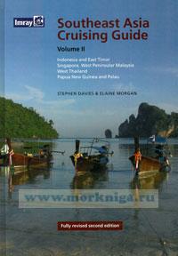
this is the second volume of two covering southeast asia. it deals with indonesia, east timor, singapore, west peninsular malaysia, west thailand, papua new guinea (png) and palau. palau, thailand and malaysia will be covered completely in volume 1 and singapore is in both. in this revised edition...
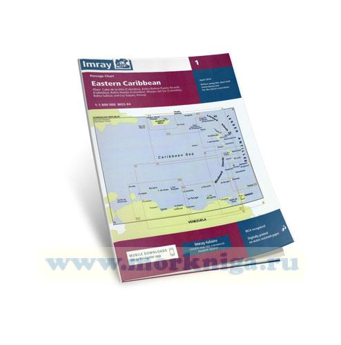
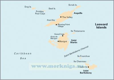
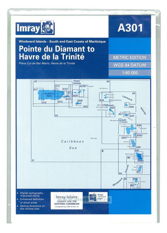
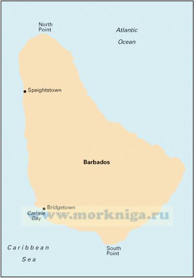
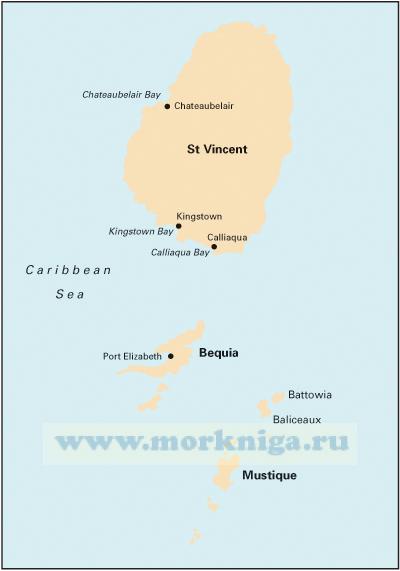
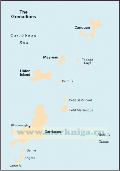
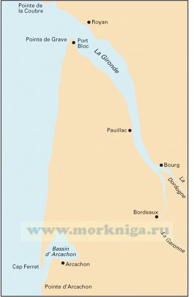
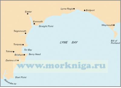
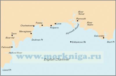
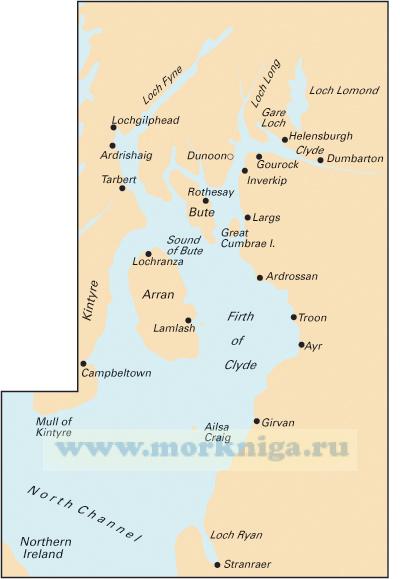
Карта на английском языке imray-iolaire charts for caribbean are widely acknowledged as the best available for the cruising sailor. they combine the latest official survey data with first-hand information gathered over 60 years of research by don street jr and his wide...
Нажмите “ОК”, если вы соглашаетесь с условиями обработки cookie и ваших
данных о поведении на сайте, необходимых для аналитики. Запретить обработку cookie можете через браузер