

Каталог▲▼
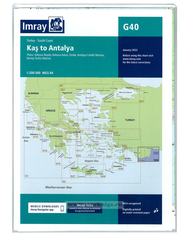
G40 Kas to Antalya/Каш - Анталия

Артикул: 00456082
в желания В наличии
Автор: Imray
Издательство: Imray (все книги издательства)
Место издания: London
ISBN: 978-1846236297
Год: 2022
Формат: А1 (594x840 мм)
Вес: 126 г
С этим товаром покупают
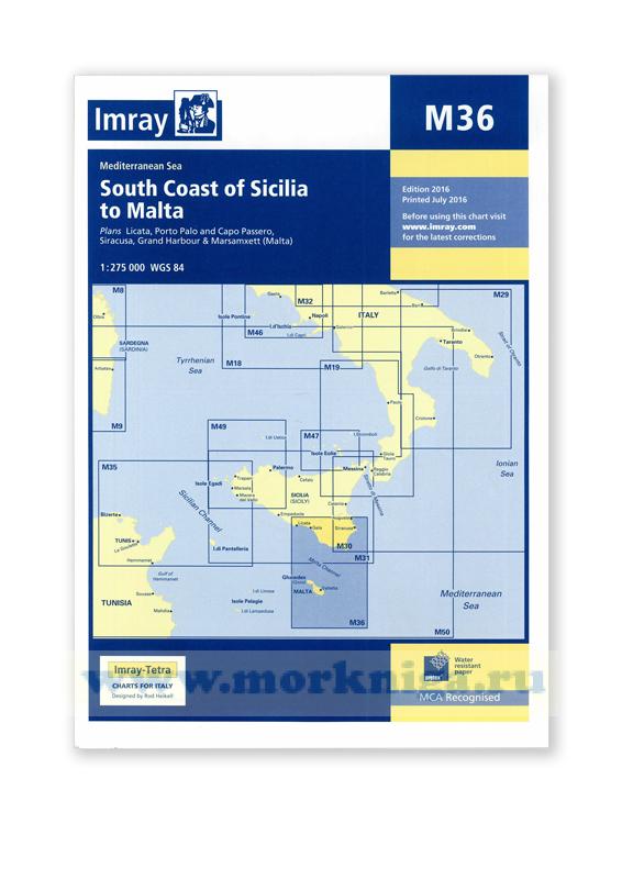 M36 South Coast of Sicilia to Malta От Южного побережья Сицилии до Мальты (1:275 000)
 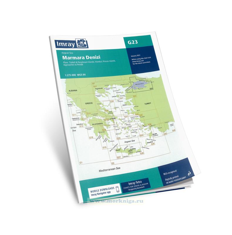 G23 Marmara Denizi. Мраморное море (1:275 000)
 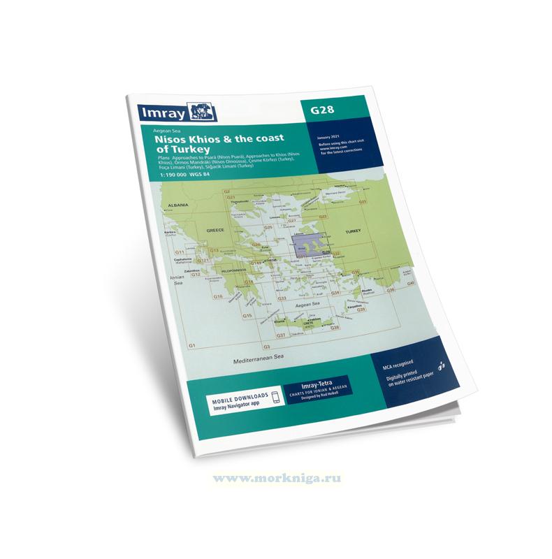 G28 Nisos Khios & the Coast of Turkey. Остров Хиос и побережье Турции (1:190 000)
 Imray charts set the standard for the leisure sailor, with award-winning cartography compiled, drawn and published in England.
Our distinctive colour scheme, coloured light sectors and fine overprinted latitude and longitude grids make plotting easier.
Based on up-to-date Hydrographic Office surveys, Imray charts include extra information sourced from experienced sailors. They receive continual attention from our skilled cartographers to ensure they are as up to date as possible.
Plans included:
Kekova Roads (1:40 000)
Kekova Adasi (1:15 000)
Finike (1:17 500)
Antalya Celebi Marina (1:15 000)
Kemer Turkiz Marina (1:17 500)
For this 2014 edition the chart has been fully updated and modernised. The latest known depths are shown around Kas, Kekova Roads and Antalya Harbour. Harbour depths at ??agiz are also displayed, as are the recently deployed AIS transmitters across the chart.
Масштаб: 1:200 000
Размер: 64 x 90 см
Карта складывается до формата А4 и упакована в специальный пластиковый карман
См.
Отзывы покупателей (0)
У этого товара пока нет отзывов. Поделитесь впечатлением первым.