

Каталог▲▼
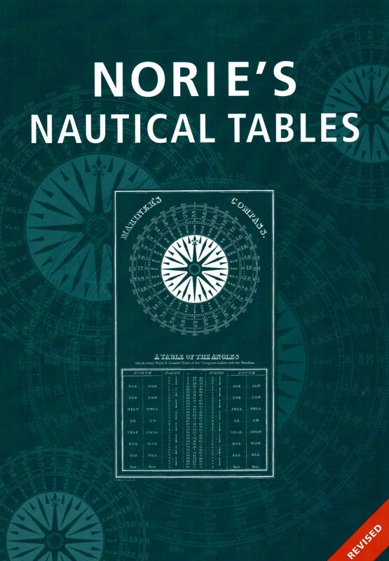
Norie's Nautical Tables


Артикул: 00455332
в желания В наличии
Автор: Edited by Capt AG Blance
Издательство: Imray (все книги издательства)
Место издания: London
Серия: Мореходная астрономия
ISBN: 9781786790385
Год: 2018
Формат: 60х90/8
Переплет: Твердый переплет
Страниц: 576
Вес: 1750 г
С этим товаром покупают
 Технические средства судовождения. Том 3. Судовые приборы электронной навигации
  Наставление по организации штурманской службы на судах 2026 год. Последняя редакция
  Бланки астрономических вычислений по ВАС-58 (Ш-8)
 Since J W Norie published the first edition of his Complete Set of Nautical Tables and Epitome of Practical Navigation in 1803, many changes to the tables have been necessary in both content and presentation. New tables have been included, obsolete ones deleted to conform with changing techniques of navigation, with the aim of improving the accuracy of the calculated position and reducing the tedium of the calculation.
Since the commissioning of the Global Positioning System (GPS), its proven accuracy and reliability in all weather conditions have resulted in confidence and almost unquestioning dependence on its ability to provide a vessel's position, course and speed. Because of this, its use is widespread and some seafarers feel that the traditional navigational methods are obsolete. One might ask why ships should still be required to carry navigation equipment and publications.
Unfortunately the marine environment of heavy vibration, stormy seas, salt-laden spray and wide temperature variations can easily damage electronic equipment. Such failure, or the failure of one or more satellites, or interference to GPS frequencies, all should ensure that no prudent seafarer would proceed on an ocean passage without a reliable navigational back-up.
All the tables required for coastal and deep sea navigation are included
A simple uniform method of interpolation for all the trigonometrical tables is usedСCertain tables and data are also included which are not readily available on board Сship or are only used in the examination room.
Contents
Explanation of tables
Computation tables
Traverse Table
Meridional Parts of the Terrestial Spheroid
Logarithms of Numbers
Logarithms of Trigonometrical Functions
Haversines
Natural Trigonometrical Functions of Angles
Celestial navigation
А, В, С Azimuth Tables
True Azimuths at Rising and Setting
Ex-Meridian Table 1
Ex-Meridian Table 2
Ex-Meridian Table 3
Ex-Meridian Table 4
Dip of the Sea Horizon
Parallax in Altitude of the Sun
Monthly Mean Diameter of the Sun
Reduction of the Moon's Horizontal Parallax
Augmentation of the Moon's Semi-Diameter
Mean Refraction
Refraction, Additional Corrections
Total Correction, Sun's Lower Limb
Total Correction, Sun's Upper Limb
Total Correction, Stars
Total Correction, Moon's Lower Limb
Total Correction, Moon's Upper Limb
Coastal navigation
Day's Run - Average Speed Table
Measured Mile Speed Table
Speed and Distance Tables
Distance of the Sea Horizon
Extreme Range Table
Range by Vertical Sextant Angle
Range by Sextant
3cm Radar Range Table
1/2 Convergency Correction of Radio DF Bearings
Conversion tables
Imperial, SI and USA Units
Conversion of Arc into Time
Conversion of Time into Arc
Hours, Minutes and Seconds to Decimals of a Day
Barometric Pressure, Millibars and Inches of Mercury
Celsius and Fahrenheit Temperatures
Imperial Gallons, USA Gallons and Litres
Kilometres, Statute Miles and International Nautical Miles
Metres and Fathoms
Decimals of a Degree
Seaports of the world
List of Seaports
Index of Seaports
Отзывы покупателей (0)
У этого товара пока нет отзывов. Поделитесь впечатлением первым.