since j w norie published the first edition of his complete set of nautical tables and epitome of practical navigation in 1803, many changes to the tables have been necessary in both content and presentation. new tables have been included, obsolete ones deleted to conform with changing techniques...
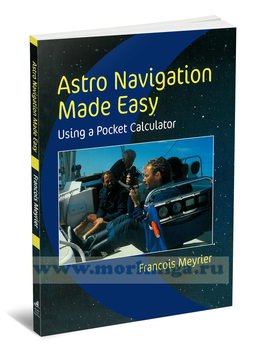
Книга на английском языке the very words [url512965]astro navigation[/url512965] are often enough to send a cold shudder through even the most experienced boater. the funny thing is that although a lot of astro jargon has an almost mystical ring about it, most of us know...
Книга на английском языке satelite technology enables amlmost every mariner to use electronic navaids to fix thier position on the oceans. however, electronic systems can be disrupted by errors in a satelite or its ground control systems, defects in shipboard equipment or...
Издания на английском языке Издание 2010 года since the first edition of this bock in 1950 very large changes have taken place in the yachting scene, and even larger ones in the field of navigation. in the past, to circumnavigate the world without...
beginning with, a brief outline of the solar system, the author provides a step by step guide to finding your position on'the ocean, both with and without a pocket calculator for working out sights. and to-assist novices in star recognition, the outstanding colour illustrations will prove a real...
Книга на английском языке. this book was written at the request of the ministry of defence (navy) and has been compiled and validated with the full support and cooperation of the royal navy both the school and the department of maritime studies of the plymouth college of...
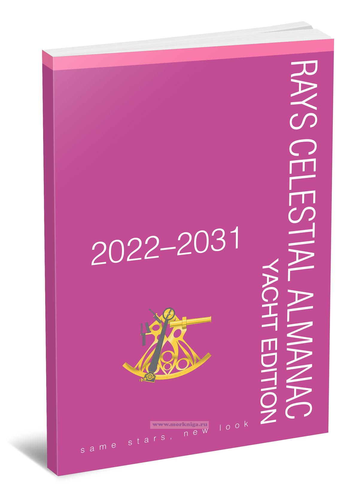
Издание на английском языке this book is a compact and convenient guide to celestial navigation, designed for maritime navigation and extreme situations. it contains essential data on the positions of the sun, planets, and bright stars for 10 years into the future...
there are many situations where you come from seaward to make a landfall. it could be after a long open sea passage, it could be coming into an anchorage for lunch or it could be making for harbour. these will be the times when you move from deep water into the shallows and where, if you keep going...
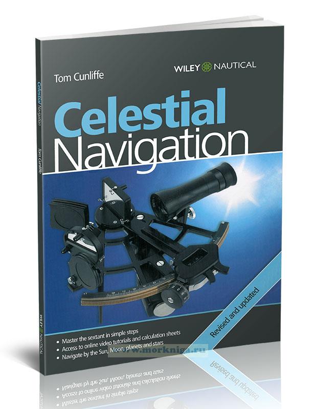
Книга на английском языке celestial navigation is one of the oldest of the mariner’s arts - and one of the most awe-inspiring. it is also essential for every ocean sailor who wants to be able to fix his position should the gps fail. tom cunliffe shows you how to master...
the sight reduction tables for air navigation consist of three volumes of comprehensive tables of altitude and azimuth designed for the rapid reduction of astronomical sights in the air. the present volume (volume 1) contains tables for selected stars for all latitudes, calculated for the epoch of...
the sight reduction tables for air navigation consist of three volumes of comprehensive tables of altitude and azimuth designed for the rapid reduction of astronomical sights in the air. this volume (volume 3), for latitudes 39°-89°, and [url455246]volume 2[/url455246] for latitudes 0° -40°,...
this book acts as a manual for the ancient methods of navigating [url00-00005491]by the stars[/url00-00005491], which continue to provide the sailor or pilot with a timeless means of determining location. despite the prevalence of gps, a comprehensive set of formulae that can be evaluated on any...
chart of the heavens unites the superb map-making talent and astronomical expertise of wil tirion — the world's leading [url00-00006036]celestial[/url00-00006036] cartographer — and mark b. peterson, formerly curator of gates planetarium at the denver museum of nature and science. these...
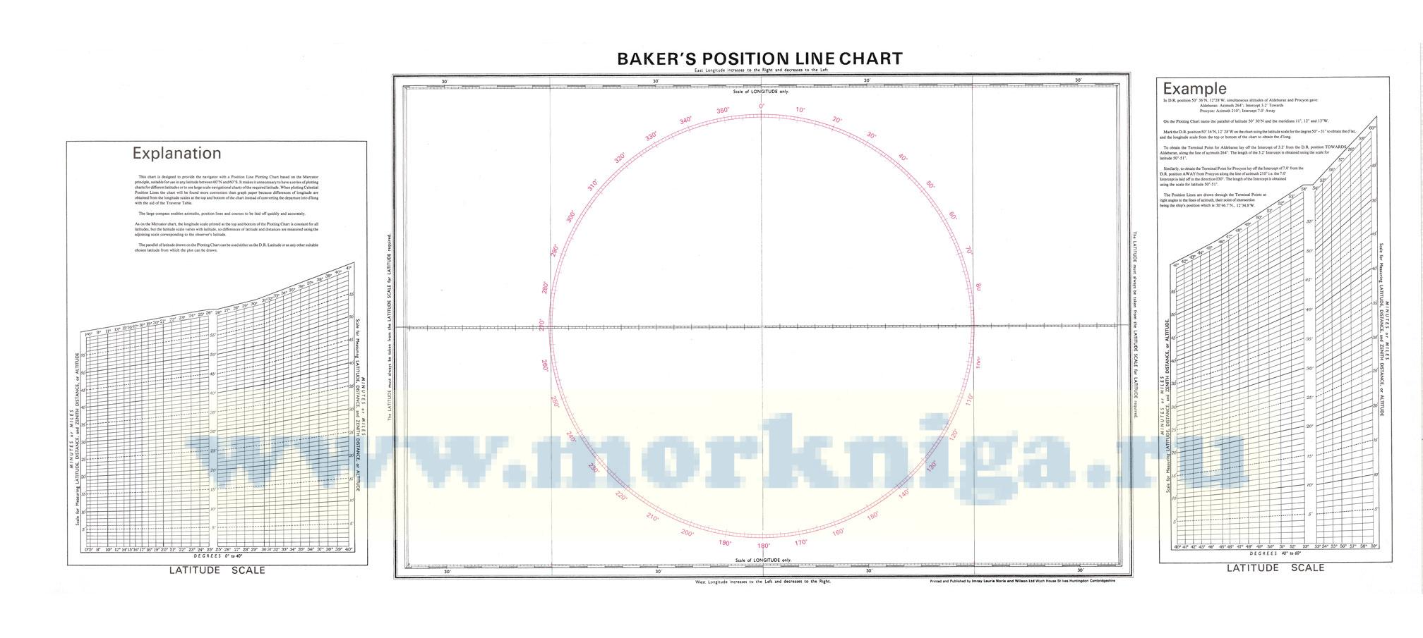
this chart is designed to provide the navigator with a position line plotting chart based on the mercator principle, suitable for use in any latitude between 60°n and 60° s. it makes it unnecessary to have a series of plotting charts for different latitudes or to use large scale navigational...
the sight reduction tables for air navigation consist of three volumes of comprehensive tables of altitude and azimuth designed for the rapid reduction of astronomical sights in the air. this volume (volume 2), for latitudes 0°–40°, and [url455247]volume 3 for latitudes 39°–89°[/url455247],...
Все издания на английском языке 2012 год the uk hydrographic office (ukho) and its licensors make no warranties or representations, express or implied, with respect to this product. the ukho and its licensors have not verified the information within this...
Книга на английском языке the nautical almanac contains astronomical information to support bridge crews in routine and emergency celestial navigation, as well as the calculation of daylight hours and mandatory gyro checks. it is carried on every ship within the royal navy...
Издание на английском языке the book is devoted to practical maritime navigation and is a set of navigation tables with detailed explanations on their application. the publication contains calculation tables and formulas used in coastal and ocean navigation, including...
Нажмите “ОК”, если вы соглашаетесь с условиями обработки cookie и ваших
данных о поведении на сайте, необходимых для аналитики. Запретить обработку cookie можете через браузер