

Каталог▲▼
RAYS celestial almanac 2022-2031. Yacht Edition


Артикул: 00-00006036
в желания В наличии
Автор: Панасенко А., Марков В.
Издательство: RAYS (все книги издательства)
ISBN: 978-5-9904629-7-7
Переплет: Мягкая обложка
Страниц: 236
Вес: 539 г
С этим товаром покупают
 Навигационные звёзды
 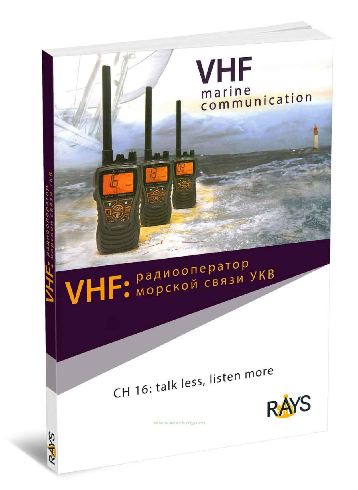 VHF: радиооператор морской связи УКВ
 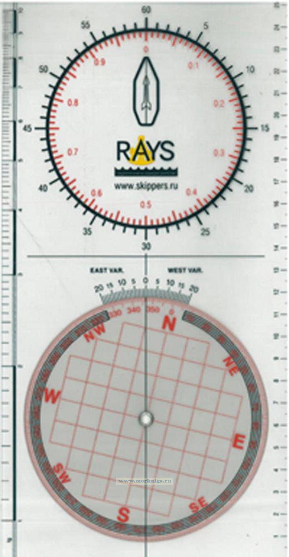 Плоттер RAYS
 Издание на английском языке
This book is a compact and convenient guide to celestial navigation, designed for maritime navigation and extreme situations. It contains essential data on the positions of the sun, planets, and bright stars for 10 years into the future (2022–2031), as well as methods for determining a vessel's position using azimuths and altitudes of celestial bodies. The book describes in detail the principles of measurement, calculations, and interpolation, and provides practical algorithms for accurately determining a position without the need for multiple additional sources. Special attention is paid to planning observations, using epheremides, and minimizing errors. Suitable for both yachtsmen and specialists experienced in classical methods of marine navigation, it is especially useful in emergency situations.
Content
Overview
Part 1. Sextant altitude correction
Sextant correction form
Refraction
Part 2. Sight planning
Declination and Equation of Time
Time zones
Arc to Time
Noon sight planning
Twilight sight planning
Lengh of day
LHA Aries for Twilight
LHA Aries by Stars
Star Map
Starfinder
LHA of Planets at Twilight
Lengh of day by Month
Magnitude of the Planets
Sunrise-Sunset Azimuth amplitude
Part 3. Heavenly body's position
GHA and Declination Calculation Forms
Increments
Corrections
Calculation of Stars position
Increments and corrections explanations
Ephemerides
Stars
Part 4. Reduction of observation EM
Reduction explanation
Altitude Calculation form
Asimuth Calculation form
Plotting the Line of Position
Sines/Cosines Tables