

Каталог▲▼
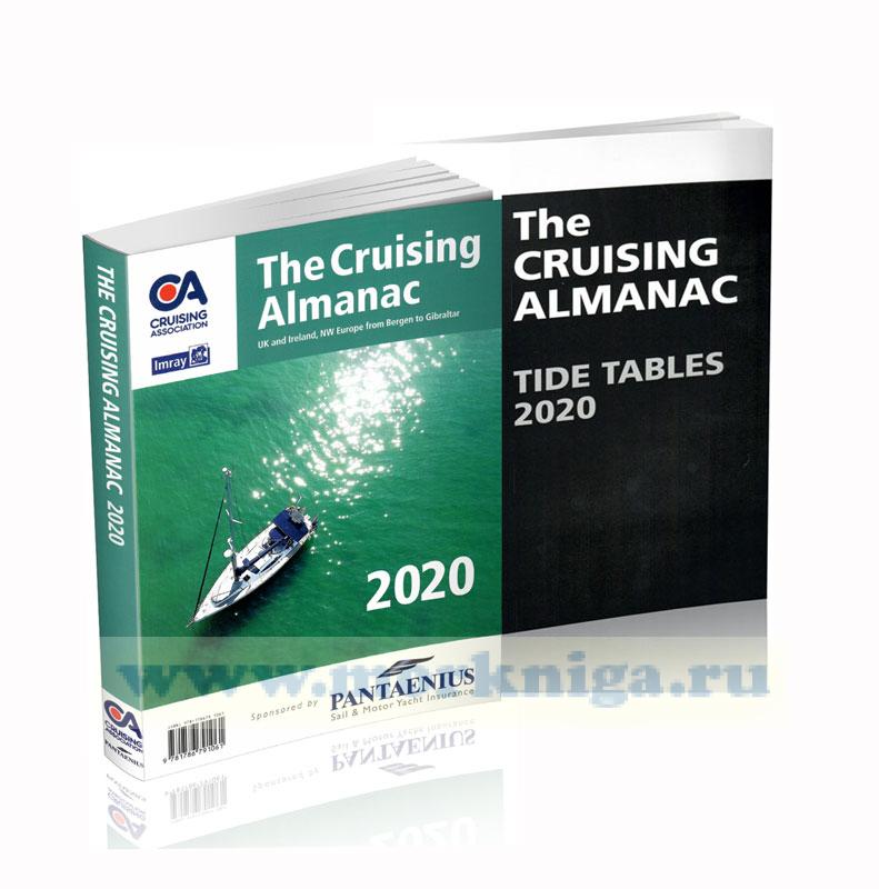
The Cruising Almanac with Tide Tables
Образец
Галерея


Артикул: 00-00001643
в желания В наличии
Автор: Cruising Association
Издательство: Imray (все книги издательства)
Место издания: England
Переплет: Мягкий
Страниц: 480
Вес: 1580 г
Вариант исполнения:
С этим товаром покупают
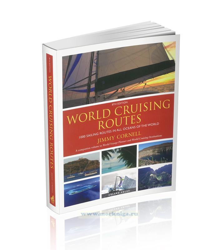 World Cruising Routes 8th edition/Руководство по яхтенным кругосветным путешествиям
  Альбом по практической астронавигации в океанском плавании
 См. также The Cruising Almanac Tide Tables
2017
Whether new to sailing or a hardy old sea salt, there are some things which cannot be replaced in this ever-changing modern world.
The Cruising Almanac is one of them. It would be like throwing away all your old paper charts and relying completely on electronic versions. How do you get a ‘feel’ for the area you are cruising in? How can you flick through the easily identified colour-coded sections to find real information provided by real sailors?
It is the reference book for anyone venturing between Bergen in the far north and Gibraltar in the south, whether it be coastal hopping or long passages out to sea.
From the comfort of your armchair in the winter you can plan your cruising season - the new Almanac is always published at the Southampton Boat Show - and be safe in the knowledge that every detail of this near-on 500-page tome has been evaluated with you in mind before it ever gets near to print.
The Cruising Almanac is produced by volunteers who care about safe cruising. And they provide the information essential to all on the water. It is a passion for the volunteer editors to give their fellow sailors the best they can, the most checked and up-to-date information not available to the same extent anywhere else.
CA members are everywhere - north, south, east and west - and they pride themselves in being at the forefront of sharing information - and that is exactly what the Almanac does. It shares all the information collated by a few with not only their fellow 5,000+ members, but also to all in the marine industry whether in sailing yachts, motorboats or trailer-sailers.
The editors make it their duty to their fellow sailors to check the facts, assess the changes affecting all of us on the water and liaise with the best marine publishing house in the UK - Imray.
So whether you are simply venturing around the next headland, planning your first trip across the North Sea or preparing to go Blue Water sailing, this Almanac is your reference book.
The Cruising Association is now in its 108th year with a history of tradition, care for its members and above all, excellence. This book represents all that the CA believes in and its editors are proud to present it to the sailing community.
2018
The Cruising Almanac is an annual publication first published over 100 years ago and long regarded as the perfect on board companion for cruising yachts. Compiled by The Cruising Association and Imray, it covers Northwest Europe from the Shetlands and southern Norway to Gibraltar and West Ireland to the Baltic.
For 2018 the text is fully revised. Throughout, there are corrections to the plans and many include major revisions as well as improvements to coverage.
The Cruising Almanac comes with 2018 tide tables with data on 47 standard ports.
Contents
General Information
England – South Coast
England – East Coast
Scotland – East and North Coasts, Orkney and Shetland
Scotland – West Coast
England – West Coast and Wales
Ireland
Belgium
The Netherlands
Approaches to the Baltic
European Inland Waterways
France - North Coast and Channel Islands
France - West Coast
Spain and Portugal
Tidal stream diagrams and curves
Index
2020
The Cruising Almanac is an annual publication first published over 100 years ago and long regarded as the perfect on board companion for cruising yachts. Compiled by The Cruising Association and Imray, it covers Northwest Europe from the Shetlands and southern Norway to Gibraltar and West Ireland to the Baltic.
For 2019 the text is fully revised. Throughout, there are corrections to the plans and many include major revisions as well as improvements to coverage.
The Cruising Almanac comes with 2019 tide tables with data on 47 standard ports.
Contents
General Information
England - South Coast
England - East Coast
Scotland - East and North Coasts, Orkney and Shetland
Scotland - West Coast
England - West Coast and Wales
Ireland
Belgium
The Netherlands
Approaches to the Baltic
European Inland Waterways
France - North Coast and Channel Islands
France - West Coast
Spain and Portugal
Tidal stream diagrams and curves
Index