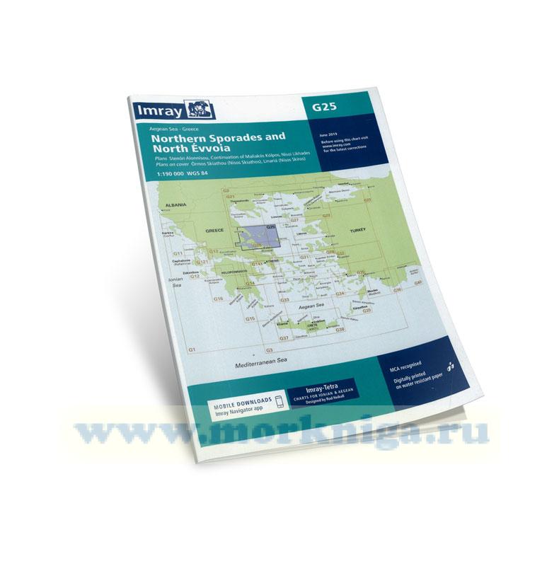
См . также [url820201]Греция, от Монемвасии до Северных Спорад (часть №1)[/url820201] Подробнее [url816590]здесь[/url816590] imray charts set the standard for the leisure sailor, with award-winning cartography compiled, drawn and...
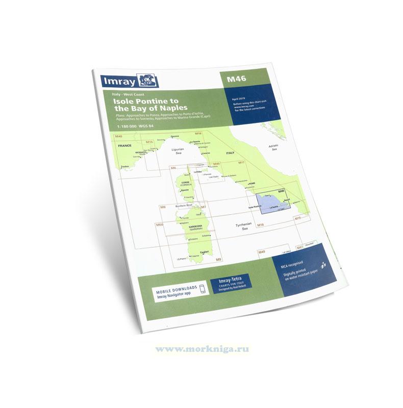
Карта сложена до формата А4 См . также [url513023]m40 ligurian and tyrrhenian seas. Лигурийское и Тирренское моря[/url513023] [url204170]Лоция Тирренского и Лигурийского морей и островов...
imray charts set the standard for the leisure sailor, with award-winning cartography compiled, drawn and published in england. our distinctive colour scheme, coloured light sectors and fine overprinted latitude and longitude grids make plotting easier. based on up-to-date hydrographic office...
corrected to may 2017 На карте имеются планы: arcipelago-ди-Ла-Маддалена - Южная группа (1:65 000) Гольфо-ди-Куньяна (1:50 000) Гольфо spurlatta (1:60 000) passaggio дей fornelli (1:60 000) Порто Торрес (1:15 000) ...
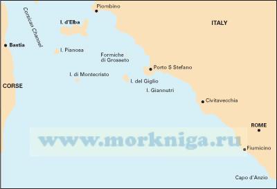
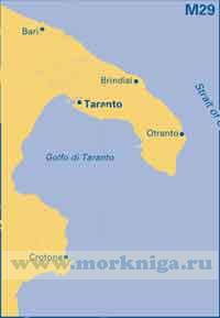
См. также [url252488]m32 Адриатическое море. Южное побережье Италии adriatic italy (south)[/url252488] [url806017]italian waters pilot Италия: Западное побережье Италии, Сардиния, Сицилия,...
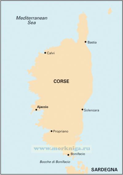
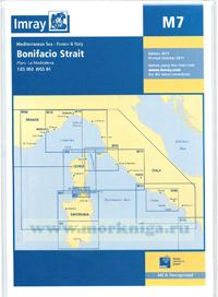
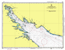
Масшаб 1: 65.000 wgs 84 Крупномасштабная карта пролива Бонифачо между Корсикой и Сардинией включая Маддалену. Карта охватывает район между [url456099]m6 corsica[/url456099] and...
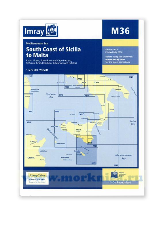
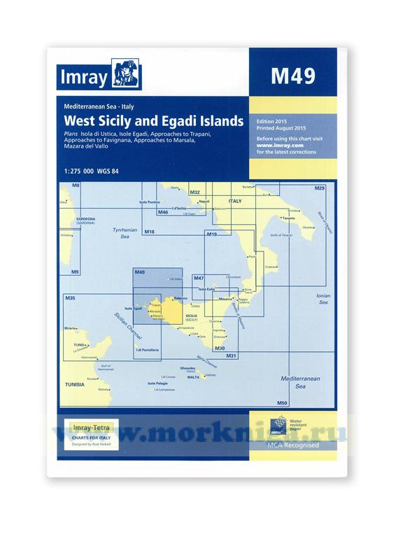
plans included: licata (1:20,000) porto palo and capo passero (1:100,000) siracusa (1:35,000) grand harbour & marsamxett ([url150115]malta[/url150115]) (1:15,000) 2016 edition, printed: july 2016 Масштаб : 1:275 000 Размер : 64 x 90 см Карта...
Издание на английском языке. the scale and coverage of the chart has been adapted from official charts to the requirements of small boat users under the direction of rod heikell with additional information on navigation and harbours from his own surveys. for additional...
imray charts set the standard for the leisure sailor, with award-winning cartography compiled, drawn and published in england. our distinctive colour scheme, coloured light sectors and fine overprinted latitude and longitude grids make plotting easier. based on up-to-date hydrographic office...
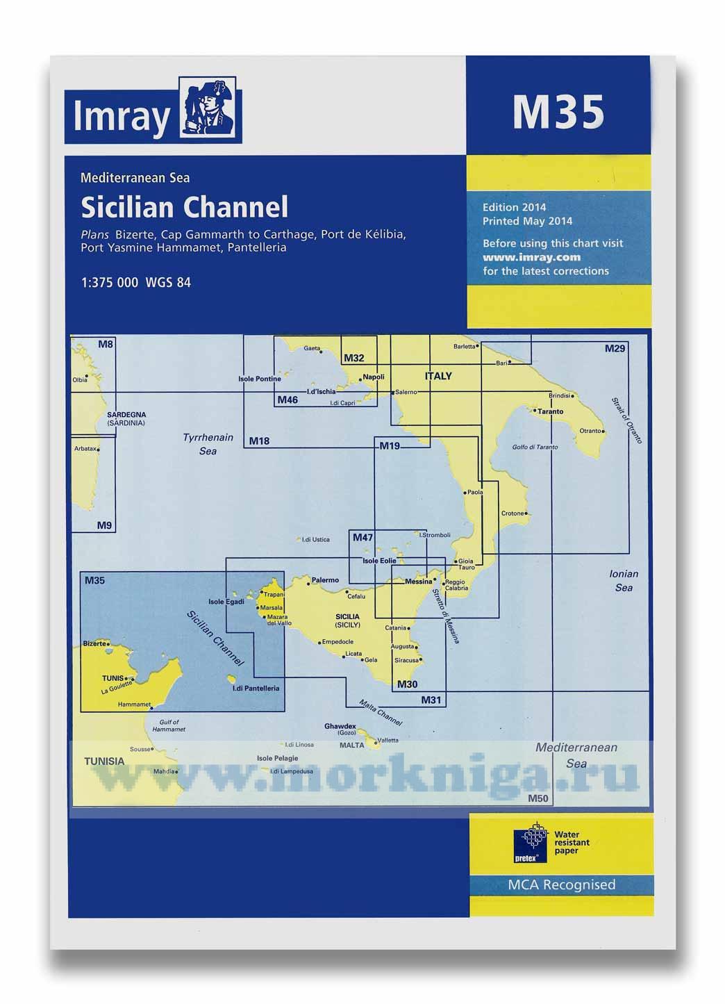
a brand new chart of the sicilian channel, designed to show passage from west sicily to isola di pantelleria and the tunisian coast. plans included: [url4107]bizerte[/url4107] (1:30 000) cap gammarth to carthage (1:65 000) port de k?libia (1:15 000) port yasmine hammamet (1:25 000) ...
imray charts set the standard for the leisure sailor, with award-winning cartography compiled, drawn and published in england. our distinctive colour scheme, coloured light sectors and fine overprinted latitude and longitude grids make plotting easier. based on up-to-date hydrographic office...
imray charts set the standard for the leisure sailor, with award-winning cartography compiled, drawn and published in england. our distinctive colour scheme, coloured light sectors and fine overprinted latitude and longitude grids make plotting easier. based on up-to-date hydrographic office...
Нажмите “ОК”, если вы соглашаетесь с условиями обработки cookie и ваших
данных о поведении на сайте, необходимых для аналитики. Запретить обработку cookie можете через браузер