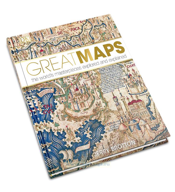
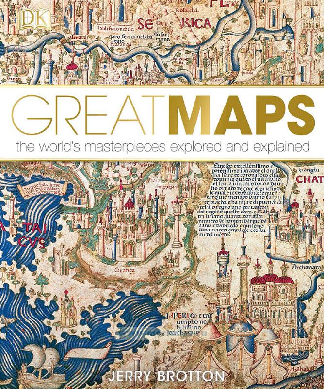
Great maps
Издание на английском языке
Today, maps are regarded primarily as locational or navigational tools.
Made of paper or, more likely, accessed digitally, they provide information about our surroundings or guide us from one place to another with maximum speed and efficiency. However, throughout history, maps have served a variety of purposes. In fact, ever since mankind first learned how to make graphic marks on rock up to 40,000 years ago, people have created maps as a way of conceptualizing themselves in relation to their environment. Thus, maps are as much about existence as they are about orientation. Processing our surroundings spatially is a basic human activity that psychologists call “cognitive mapping”. While other animals demarcate their territories, we are the only species capable of mapping ours.
Great Maps features a diverse selection of maps made during key moments in world history, and explains how they provide important answers to the most urgent questions of their eras. This book presents mapmaking as a truly global phenomenon – it is an activity common to every race, culture, and creed, although each one has very a distinctive way of mapping its particular world. The book also reveals that, despite the claims of many mapmakers throughout history, there is no such thing as a perfect map. Maps are always subjective, and there are invariably many different ways of mapping the same area. Great Maps is broken down into five chronological chapters, but this does not mean that the history of maps is one that becomes gradually more scientifically accurate and “correct” as we approach the modern age. Instead, each section explains how maps answer the specific needs of their intended audience, so that a 13th-century religious map that puts Jerusalem at its centre is as “true” to its original audience as the digital maps many of us regularly consult on our mobile phones today.
Contents
Preface
Introduction
Bedolina Petroglyph
Unknown
Babylonian World Map
Unknown
Ptolemy’s World Map
Claudius Ptolemy
Peutinger Map
Unknown
Classical maps 1500 bce–1300 ce
Madaba Mosaic Map
Unknown
Dunhuang Star Chart
Li Chunfeng
The Book of Curiosities
Unknown
Map of the Tracks of Yu
Unknown
Entertainment for He Who Longs to Travel the World
Al-SharIf al-IdrIsI
Sawley Map
Unknown
Carte Pisane
Unknown
Hereford Mappa Mundi
Richard of Haldingham
Catalan Atlas
Abraham Cresques
Kangnido Map
Kwon Kun
Portolan Chart
Zuane Pizzigano
Fra Mauro’s World Map
Fra Mauro
Juan de la Cosa’s World Chart
Juan de la Cosa
Discovery and travel 1300-1570
Map of Venice
Jacopo de’ Barbari
Map of Imola
Leonardo da Vinci
First Map of America
Martin Waldseemuller
Piri Re’is Map
Piri Re’is
Map of Utopia
Ambrosius Holbein
Map of Augsurg
Jorg Seld
Universal Chart
Diogo Ribeiro
Aztec Map of Tenochtitlan
Unknown
New France
Giacomo Gastaldi
A New and Enlarged Description of the Earth
Gerard Mercator
Map of Northumbria
Christopher Saxton
Vatican Gallery of Maps
Egnazio Danti
The Molucca Islands
Petrus Plancius
Map of the Ten Thousand Countries of the Earth
Matteo Ricci, Li Zhizao, and Zhang Wentao
The Selden Map
Unknown
New directions and beliefs 1570–1750
Nautical Chart
Zheng He
Map of the “Inhabited Quarter”
Sadiq Isfahani
New Map of the World
Joan Blaeu
Britannia Atlas Road Map
John Ogilby
Map of New England
John Foster
Corrected Map of France
Jean Picard and Philippe de La Hire
Map of the Holy Land
Abraham Bar-Jacob
Land Passage to California
Eusebio Francisco Kino
New Map of France
Cesar-Francois Cassini de Thury
Jain Cosmological Map
Unknown
A Map of the British Colonies in North America
John Mitchell
Indian World Map
Unknown
Map of All Under Heaven
Unknown
A Delineation of the Strata of England and Wales with Part of Scotland
William Smith
Thematic maps 1750–1900
Japan, Hokkaido to Kyushu
Ino Tadataka
“Indian Territory” Map
Henry Schenck Tanner
John Snow’s Cholera Map
John Snow
Slave Population of the Southern States of the US
Edwin Hergesheimer
Dr Livingstone’s Map of Africa
David Livingstone
Missionary Map
Unknown
Descriptive Map of London Poverty, 1898–9
Charles Booth
Marshall Islands Stick Chart
UnknownInternational Map of the World
Albrecht Penck
London Underground Map
Harry Beck
Dymaxion Map
Buckminster Fuller
Lunar Landings Map
NASA
Equal Area World Map
Arno Peters
Modern mapping 1900 to present
World Ocean Floor
Marie Tharp and Bruce Heezen
Mappa
Alighiero Boetti
Cartogram
Worldmapper
Nova Utopia
Stephen Walter
Google Earth
Google
Index
Acknowledgments

