

Каталог▲▼
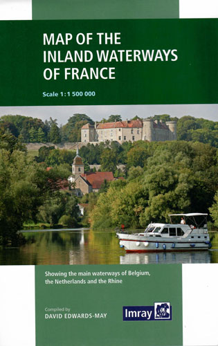
Map of the Inland Waterways of France. Карта внутренних водных путей Франции (1:1 500 000)
Артикул: 00-01028299
в желания Нет в наличии
Автор: David Edwards-May
Издательство: Imray (все книги издательства)
Место издания: England
ISBN: 9781786790644
Год: 2019
Формат: 185х260
Вес: 3 г
Сообщить о поступлении.
С этим товаром покупают
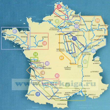 2. Loire/Nivernais
 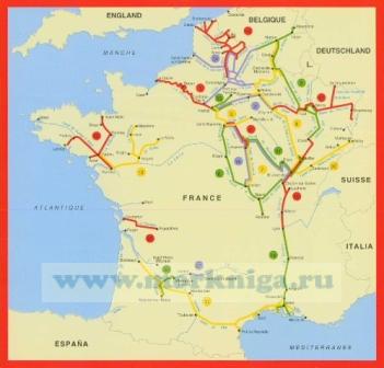 27. Le Lot - Luzech to St-Cirq-Lapopie
  7. Midi/Camargue
 Издание на английском языке
First published in the 1950s under the editorship of EE Benest and later Konrad Nussbaum, the Imray map of the French inland waterway system has always been regarded as the essential reference for planning a visit to France by boat. It is now superseded by this completely recompiled and redrawn edition by David Edwards-May, the leading authority on World canals and waterways.
The new cartography includes improved detail and presents essential information concerning distances and dimensions with a greater clarity than on previous editions. The map continues to cover the Low Countries and the western part of Germany and now also includes large scale insets of the Paris region and northeast France.
The scale remains at 1:1 500 000.