

Каталог▲▼
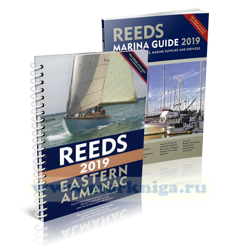
Reeds Eastern Almanac 2019
Артикул: 00477386
в желания В наличии
Автор: Rob Buttress, Andy Du Port
Издательство: Adlard Coles Nautical (все книги издательства)
Место издания: London
ISBN: 978-1-4729-5753-5
Год: 2018
Формат: 194х265
Переплет: Мягкая обложка на пружине
Страниц: 256
Вес: 929 г
С этим товаром покупают
 ANWB Wateralmanak Deel 3
  ANWB Almanac Deel 1 2010/11
  ANWB Almanac Deel 2 2010
 The Reeds Eastern Almanac covers the UK east coast from Ramsgate to Cape Wrath including the Shetland and Orkney Islands, and from Niewport to Delfzjil and Helgoland. It is the complete guide for North Sea mariners, offering ready access to essential navigation information by virtue of its clear layout and user friendly format. Completely updated for 2019, topics include seamanship, pilotage, tide tables, safety procedures, navigation tips, radio, lights, waypoints, weather forecast information around UK and European waters, communications, Mayday and distress procedures. The spiral binding allows the Almanac to be opened flat on the chart table and the large type and clear layout makes information easy to read even in adverse conditions. This handy volume is ideal for anyone cruising the North Sea. Includes a free Reeds Marina Guide.
Reference Contents
The Almanac
Symbols and abbreviations
Passage planning form and notes
Positions from GPS
VHF Communications
Distress calls, Urgency and Safety calls
GMDSS
HM, Dutch and Belgian Coast Guard details
Weather
Automatic Identification System (AIS)
Tidal predictions. Overhead clearances
IALA buoyage
Flags and ensigns
Lights and shapes
Navigational lights
Tidal coefficients
Calculating tidal stream rates
Sun and moon: rising and setting times
International Code flags, IPTS
Area and harbour information
Environmental guidance
Distances across the North Sea
EASTERN ENGLAND
NETHERLANDS AND BELGIUM
EASTERN SCOTLAND
INDEX
Navigational Contents
Area 1 Ramsgate to Great Yarmouth
Area Map
Tidal streams
Lights, buoys and waypoints
Passage information
Port information
Area 2 Delfzijl to Nieuwpoort
Area Map
Tidal streams
Lights, buoys and waypoints
Passage information
Special notes for Netherlands
Port information
Special notes for Belgium
Area 3 Winterton to Berwick-upon-Tweed
Area Map
Tidal streams
Lights, buoys and waypoints
Passage information
Port information
Area 4 SE Scotland, Eyemouth to Rattray Head
Area Map
Tidal streams
Lights, buoys and waypoints
Passage information
Port information
Area 5 NE Scotland, Rattray Head to Cape Wrath, including Orkney and Shetland Islands
Area Map
Tidal streams
Lights, buoys and waypoints
Passage information
Port information
Отзывы покупателей (0)
У этого товара пока нет отзывов. Поделитесь впечатлением первым.