

Каталог▲▼
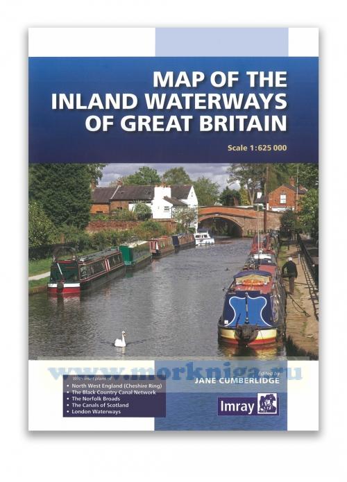
Map of the Inland Waterways of Great Britain (1:625 000)
Артикул: 00-01019000
в желания В наличии
Издательство: Imray (все книги издательства)
Место издания: London
ISBN: 9781846238277
Год: 2016
Формат: 185х260
Вес: 125 г
С этим товаром покупают
 East Coast Pilot. 4-th edition Лоция Восточного побережья. 4-е издание
 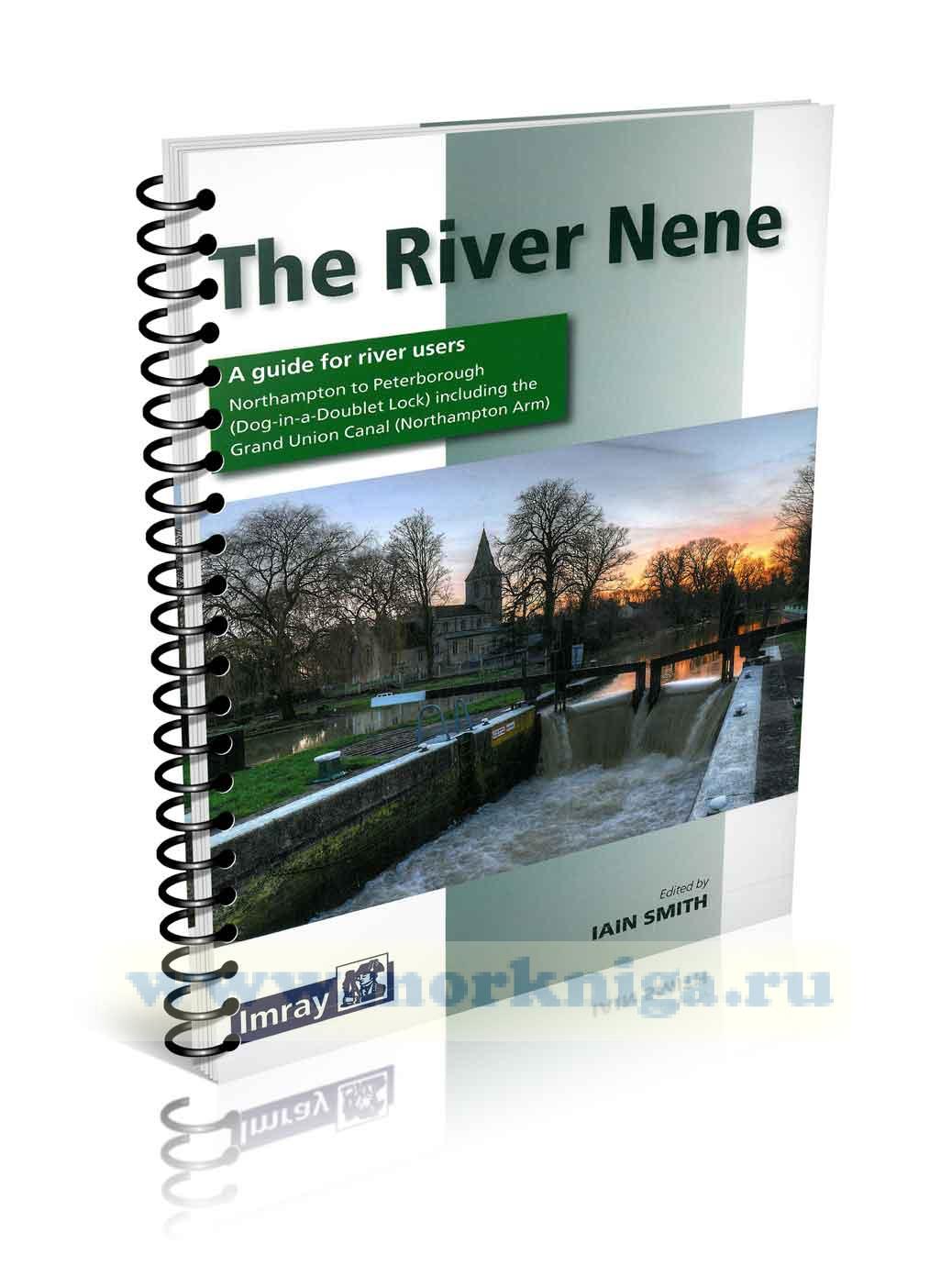 The River Nene. Река Нин. Руководство для судоводителей
 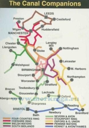 South Midlands & Warwickshire Ring
 First published over 60 years ago when interest in reviving Britain's network of navigable and rivers was starting to gather pace, this map provides the best coverage of the system in England, Wales and Scotland. Distances, the number of locks and restricting dimensions are given for each waterway.
The simple cartography defines rivers, broad and narrow canals against generalized relief and the major road network.
The 2016 edition has been updated to show progress in restoration schemes and other changes.
With inset plans of
- North West England (Cheshire Ring)
- The Black Country Canal Network
- The Norfolk Broads
- The Canals Of Scotland
- London Waterways
Sheet size 715 x 1020 mm
Отзывы покупателей (0)
У этого товара пока нет отзывов. Поделитесь впечатлением первым.