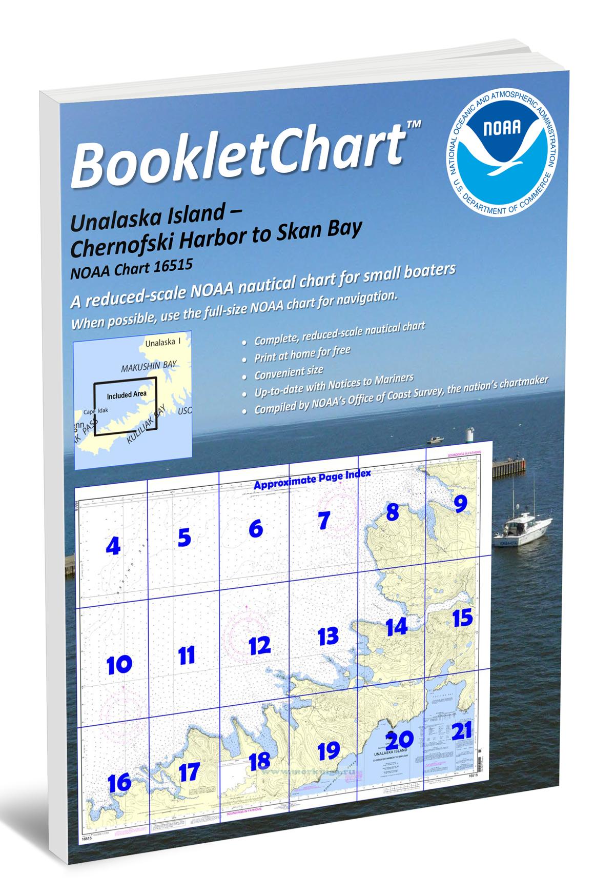
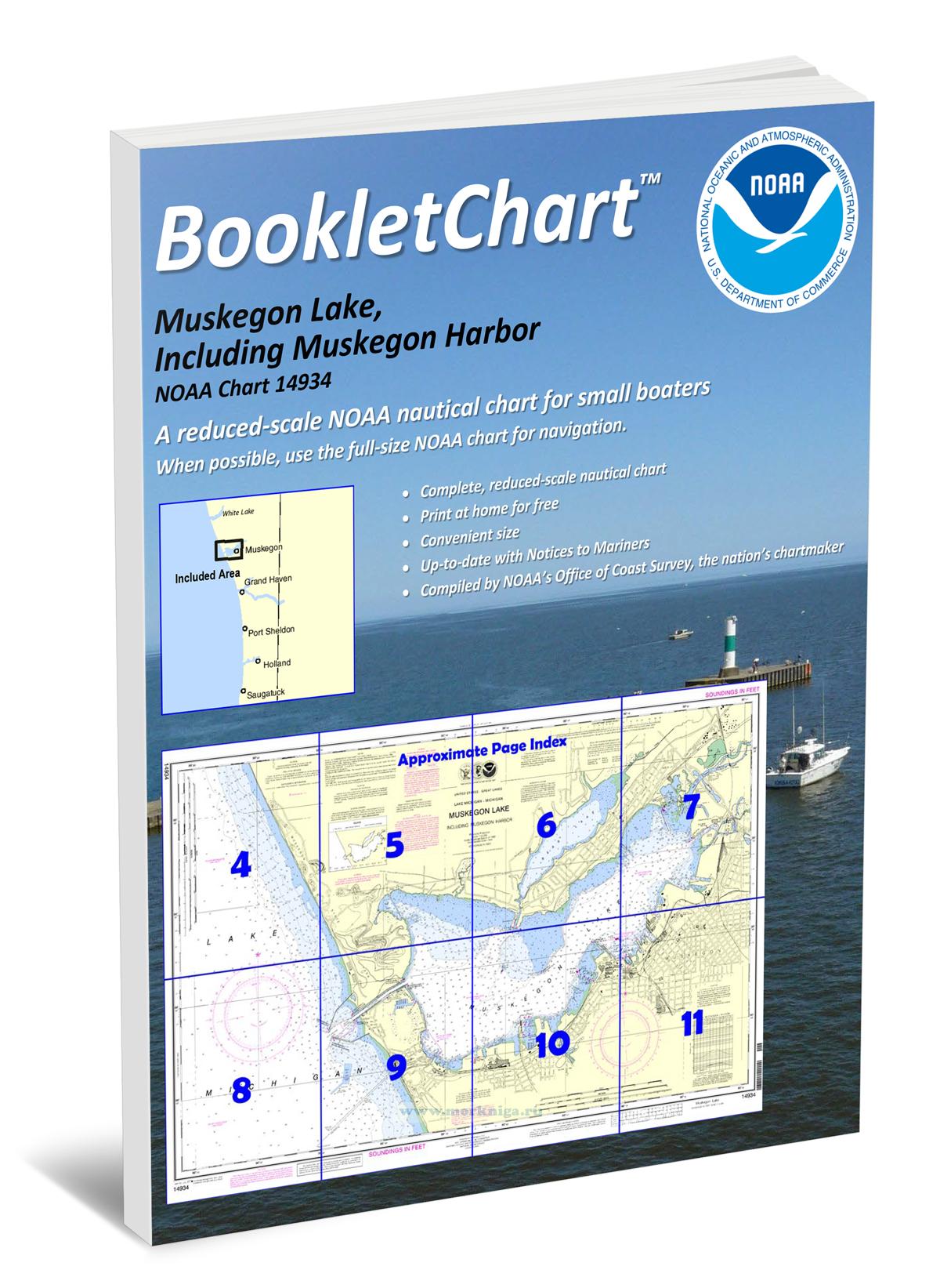
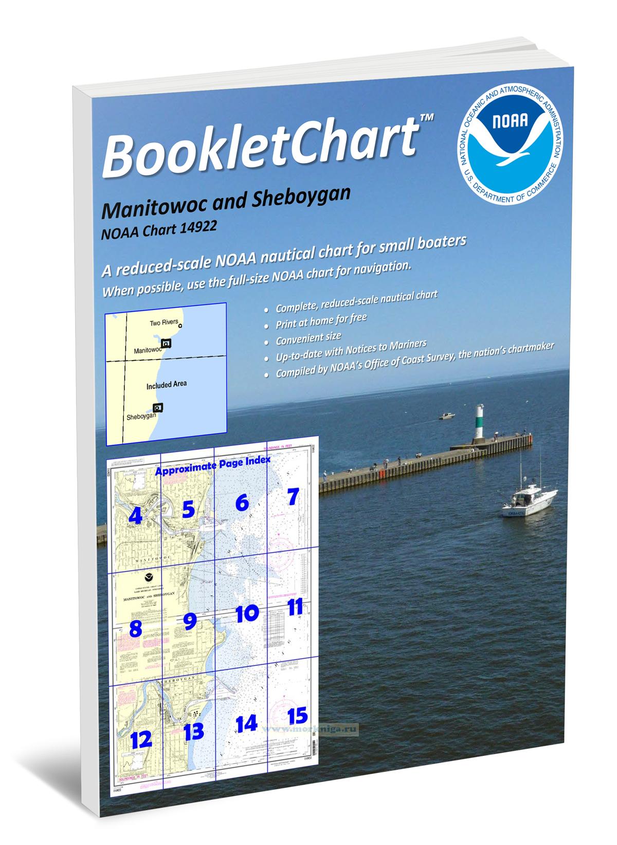
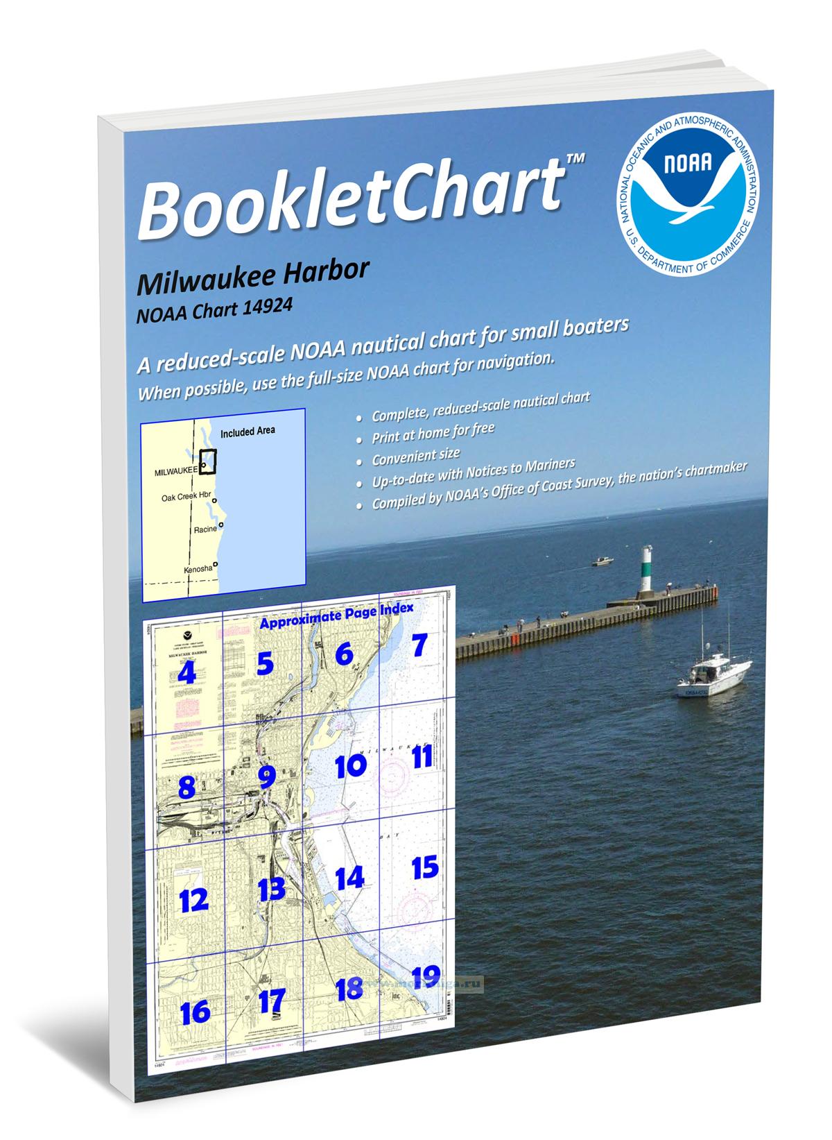
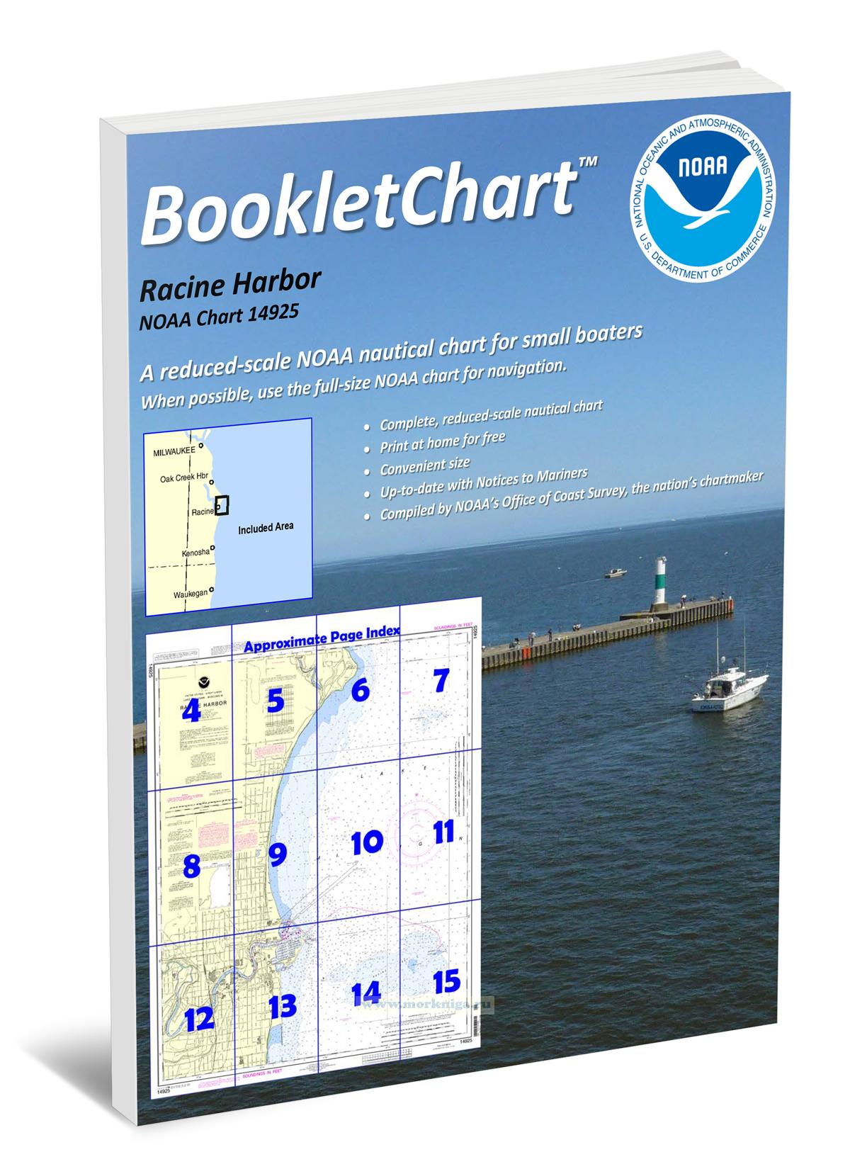
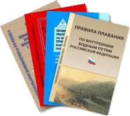
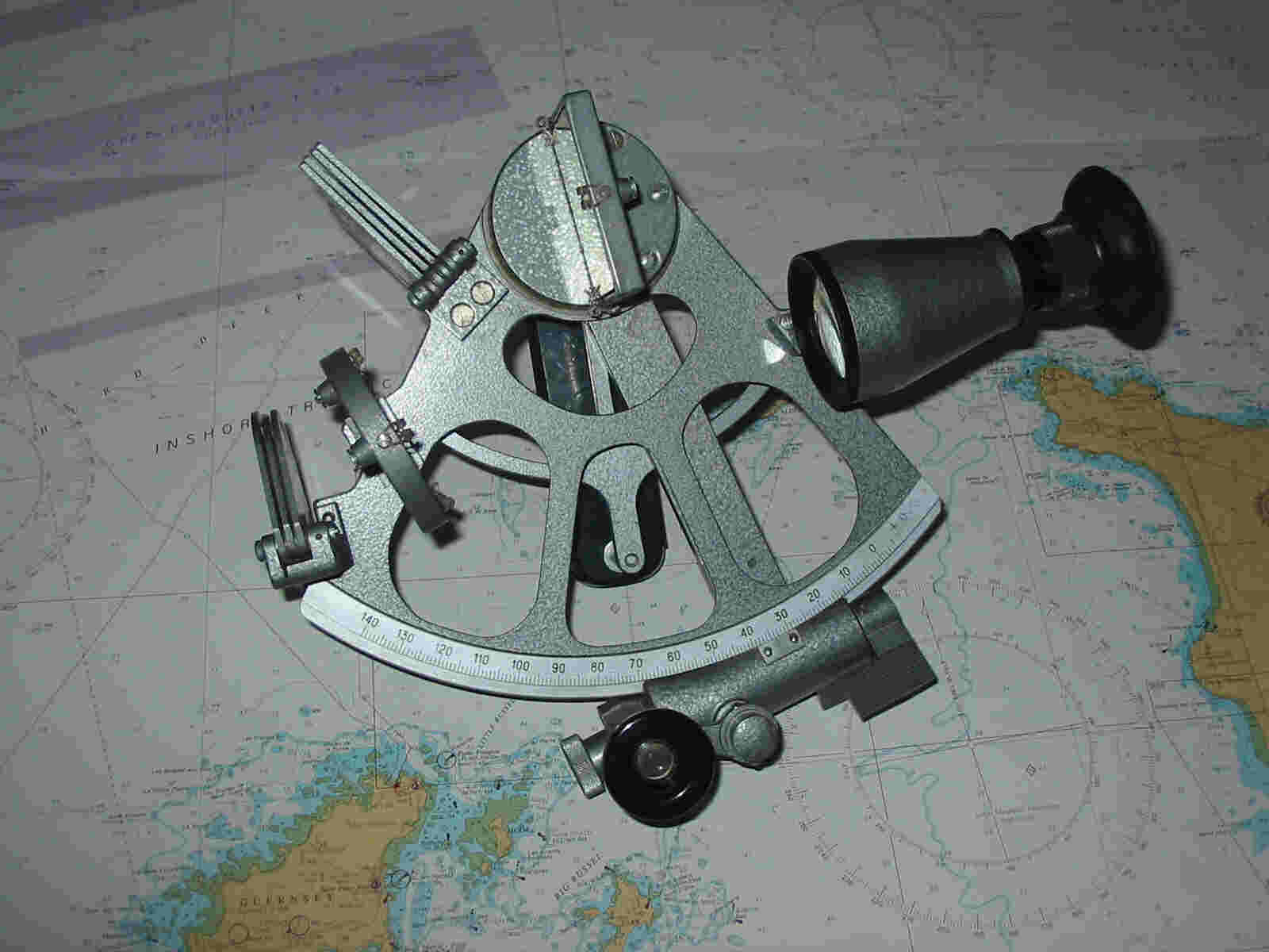
Книга на английском языке nautical charts are a fundamental tool of marine navigation. they show water depths, obstructions, buoys, other aids to navigation, and much more. the information is shown in a way that promotes safe and efficient navigation. chart carriage is...
Книга на английском языке nautical charts are a fundamental tool of marine navigation. they show water depths, obstructions, buoys, other aids to navigation, and much more. the information is shown in a way that promotes safe and efficient navigation. chart carriage is...
Книга на английском языке nautical charts are a fundamental tool of marine navigation. they show water depths, obstructions, buoys, other aids to navigation, and much more. the information is shown in a way that promotes safe and efficient navigation. chart carriage is...
Книга на английском языке nautical charts are a fundamental tool of marine navigation. they show water depths, obstructions, buoys, other aids to navigation, and much more. the information is shown in a way that promotes safe and efficient navigation. chart carriage is...
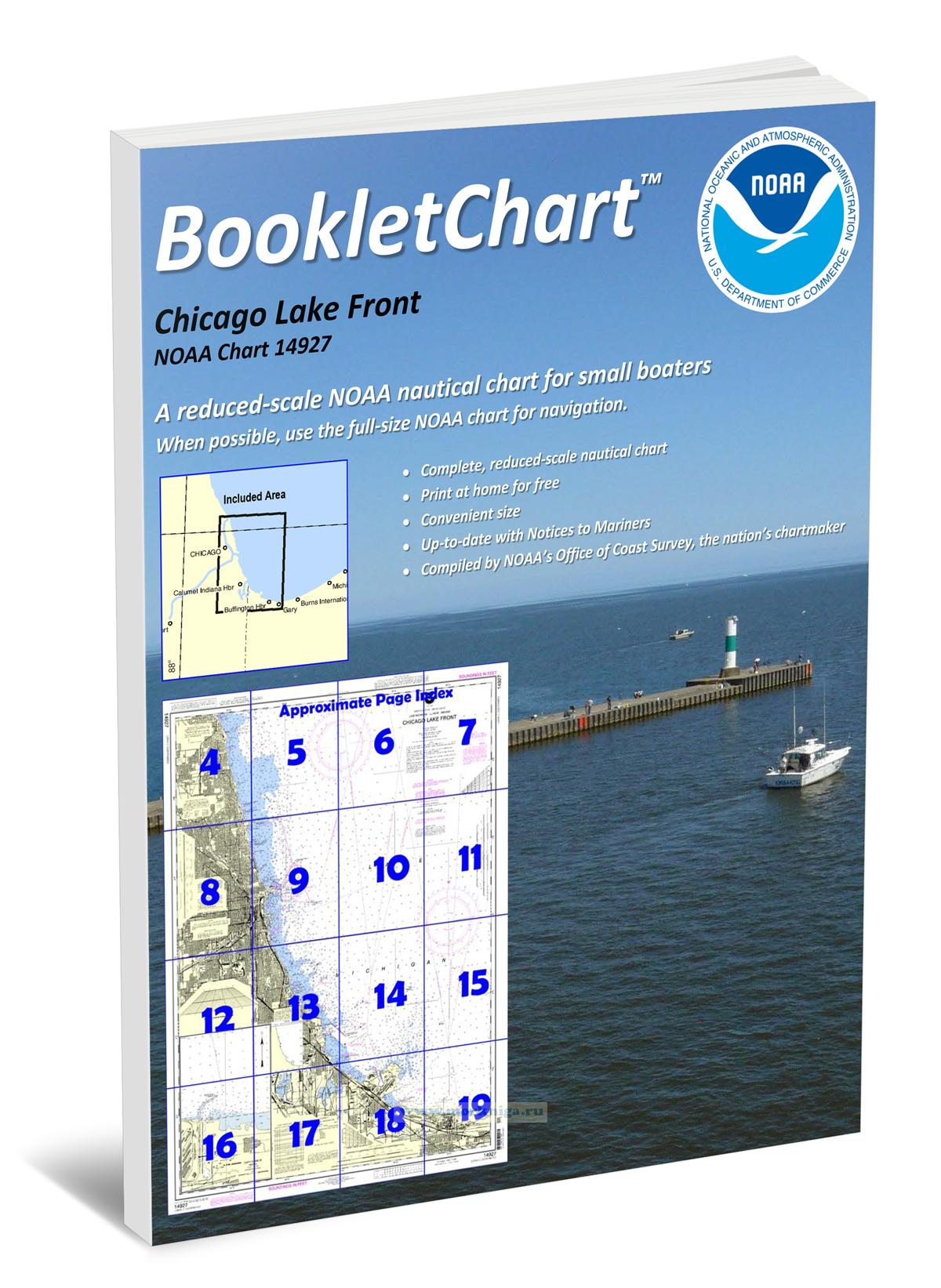
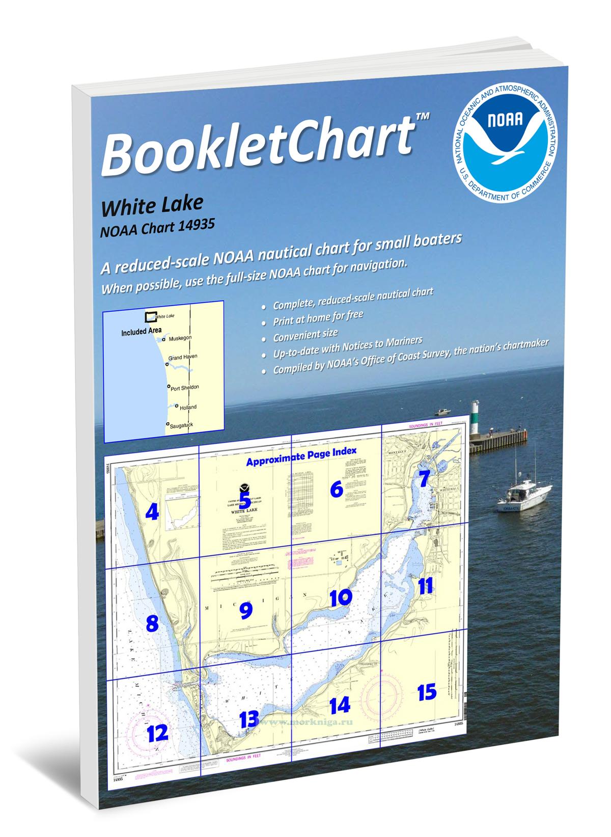
Издание на английском языке nautical charts are a fundamental tool of marine navigation. they show water depths, obstructions, buoys, other aids to navigation, and much more. the information is shown in a way that promotes safe and efficient navigation. chart carriage is...
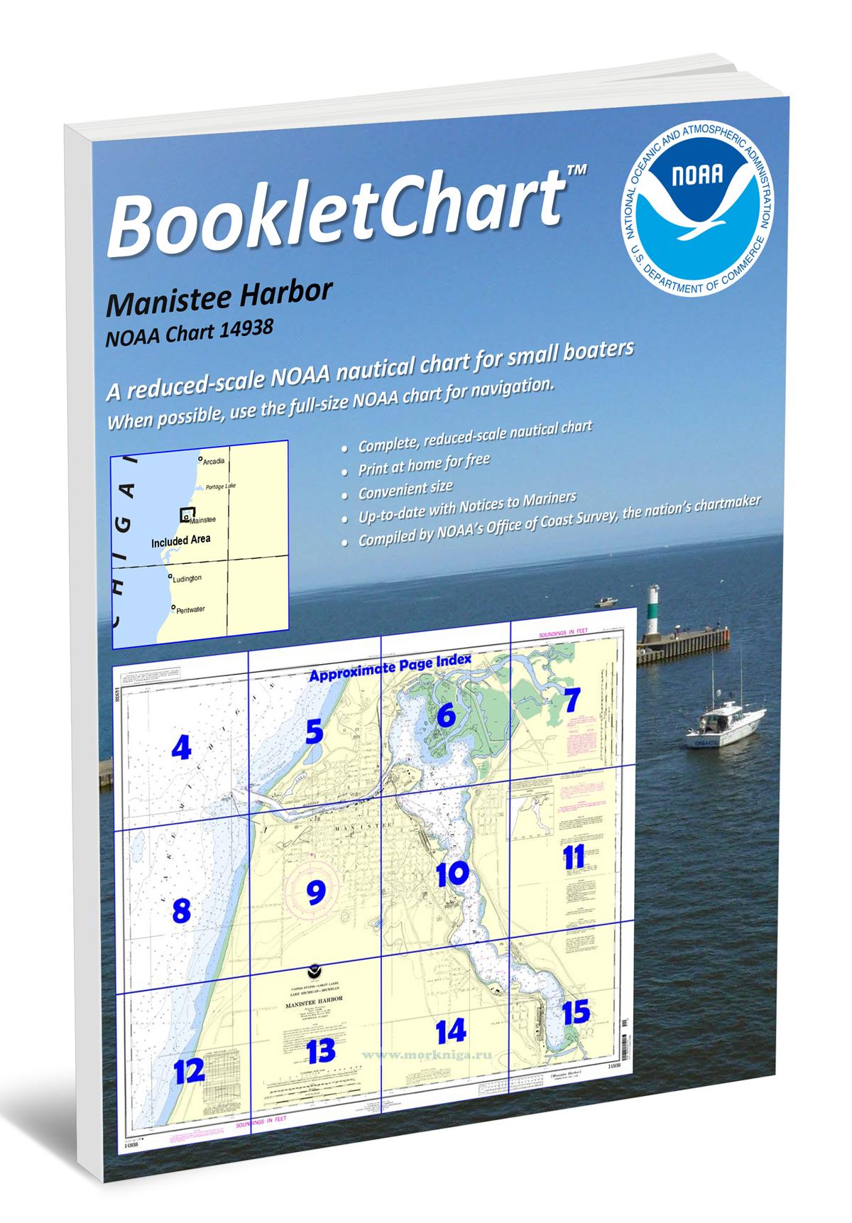
Издание на английском языке nautical charts are a fundamental tool of marine navigation. they show water depths, obstructions, buoys, other aids to navigation, and much more. the information is shown in a way that promotes safe and efficient navigation. chart carriage is...
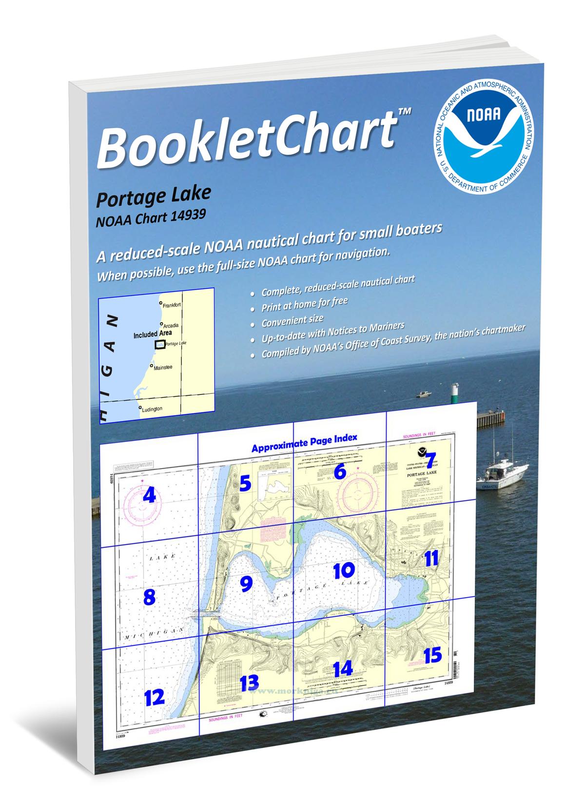
Издание на английском языке nautical charts are a fundamental tool of marine navigation. they show water depths, obstructions, buoys, other aids to navigation, and much more. the information is shown in a way that promotes safe and efficient navigation. chart carriage is...
Издание на английском языке nautical charts are a fundamental tool of marine navigation. they show water depths, obstructions, buoys, other aids to navigation, and much more. the information is shown in a way that promotes safe and efficient navigation. chart carriage is...
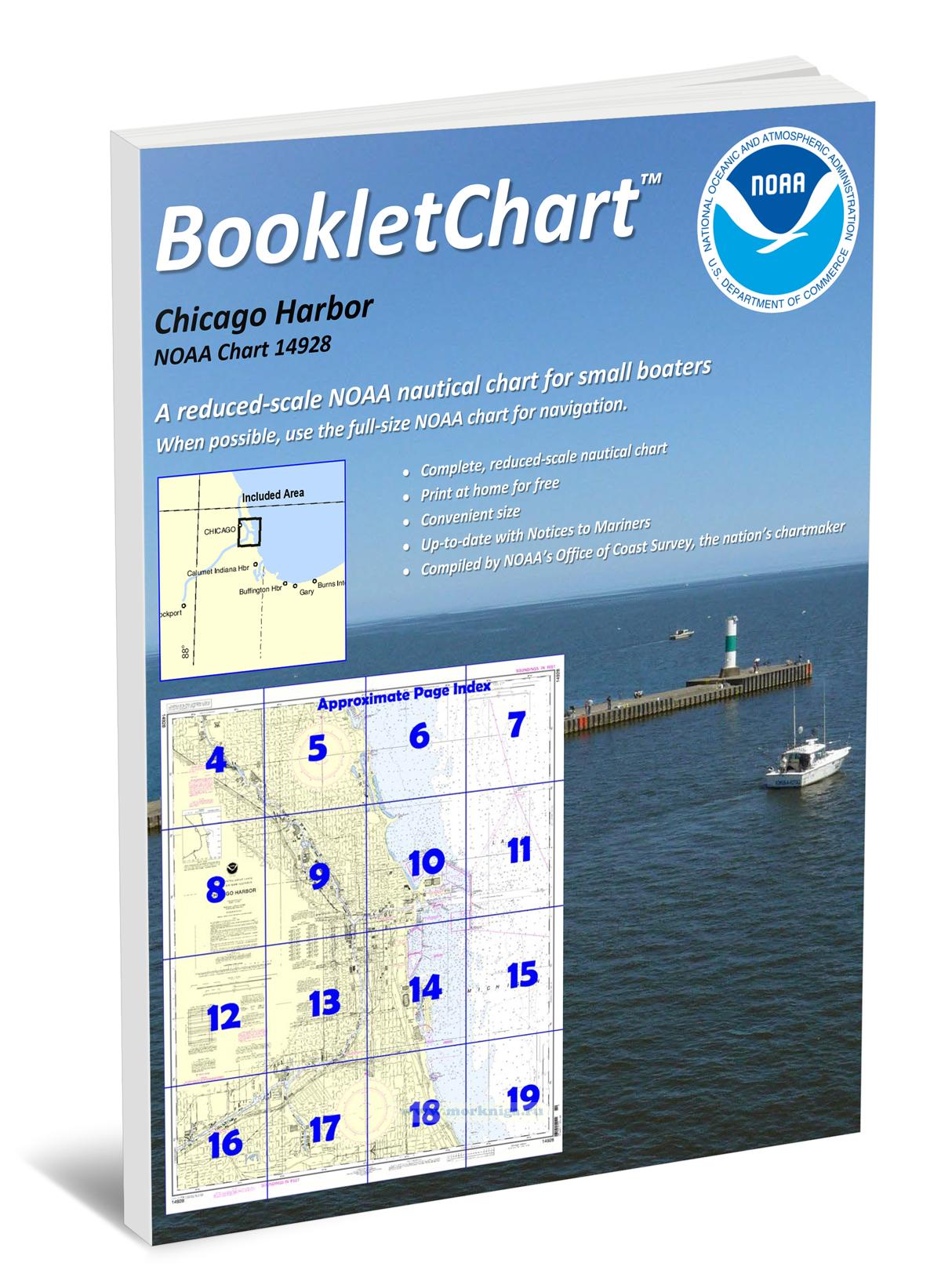
Издание на английском языке nautical charts are a fundamental tool of marine navigation. they show water depths, obstructions, buoys, other aids to navigation, and much more. the information is shown in a way that promotes safe and efficient navigation. chart carriage is...
Издание на английском языке nautical charts are a fundamental tool of marine navigation. they show water depths, obstructions, buoys, other aids to navigation, and much more. the information is shown in a way that promotes safe and efficient navigation. chart carriage is...
Издание на английском языке nautical charts are a fundamental tool of marine navigation. they show water depths, obstructions, buoys, other aids to navigation, and much more. the information is shown in a way that promotes safe and efficient navigation. chart carriage is...
Издание на английском языке nautical charts are a fundamental tool of marine navigation. they show water depths, obstructions, buoys, other aids to navigation, and much more. the information is shown in a way that promotes safe and efficient navigation. chart carriage is...
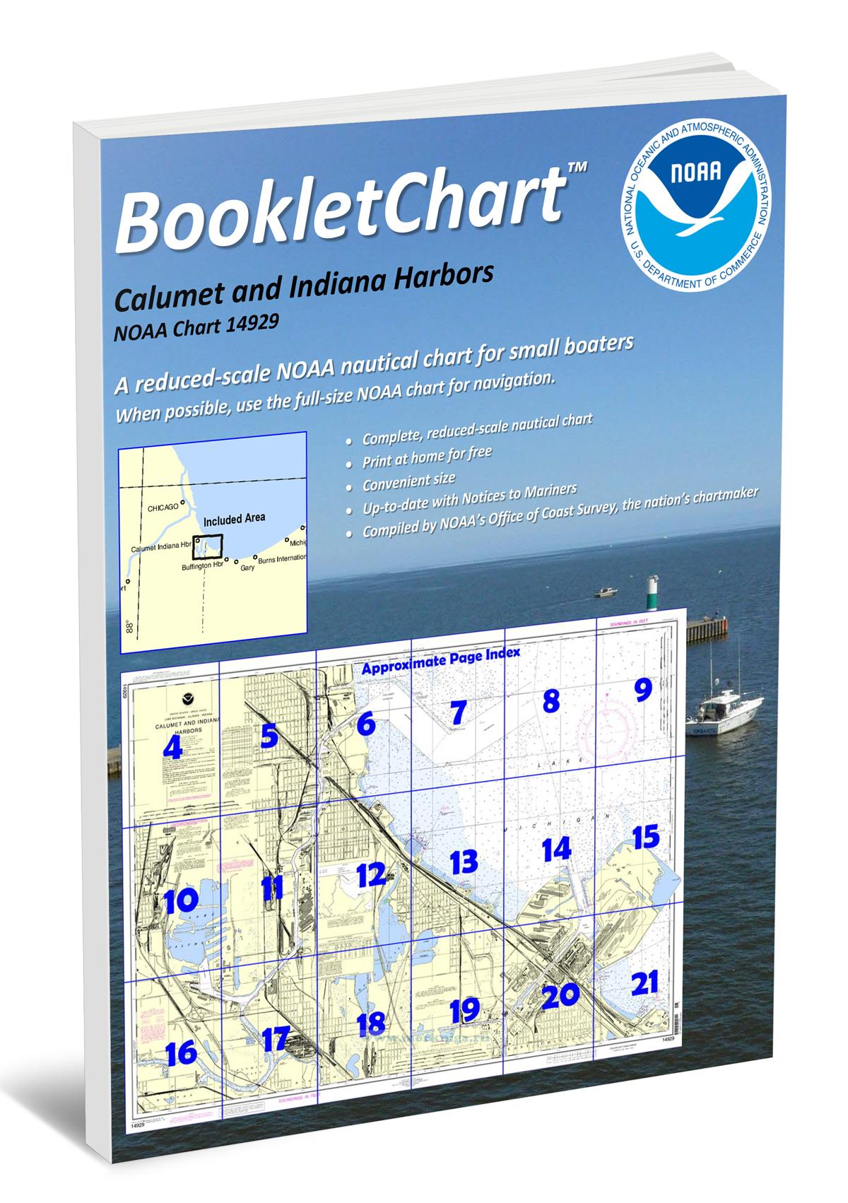
Издание на английском языке nautical charts are a fundamental tool of marine navigation. they show water depths, obstructions, buoys, other aids to navigation, and much more. the information is shown in a way that promotes safe and efficient navigation. chart carriage is...
Издание на английском языке nautical charts are a fundamental tool of marine navigation. they show water depths, obstructions, buoys, other aids to navigation, and much more. the information is shown in a way that promotes safe and efficient navigation. chart carriage is...
Издание на английском языке nautical charts are a fundamental tool of marine navigation. they show water depths, obstructions, buoys, other aids to navigation, and much more. the information is shown in a way that promotes safe and efficient navigation. chart carriage is...
Издание на английском языке nautical charts are a fundamental tool of marine navigation. they show water depths, obstructions, buoys, other aids to navigation, and much more. the information is shown in a way that promotes safe and efficient navigation. chart carriage is...
Издание на английском языке nautical charts are a fundamental tool of marine navigation. they show water depths, obstructions, buoys, other aids to navigation, and much more. the information is shown in a way that promotes safe and efficient navigation. chart carriage is...
Издание на английском языке nautical charts are a fundamental tool of marine navigation. they show water depths, obstructions, buoys, other aids to navigation, and much more. the information is shown in a way that promotes safe and efficient navigation. chart carriage is...
Издание на английском языке nautical charts are a fundamental tool of marine navigation. they show water depths, obstructions, buoys, other aids to navigation, and much more. the information is shown in a way that promotes safe and efficient navigation. chart carriage is...
Издание на английском языке nautical charts are a fundamental tool of marine navigation. they show water depths, obstructions, buoys, other aids to navigation, and much more. the information is shown in a way that promotes safe and efficient navigation. chart carriage is...
Нажмите “ОК”, если вы соглашаетесь с условиями обработки cookie и ваших
данных о поведении на сайте, необходимых для аналитики. Запретить обработку cookie можете через браузер