

Каталог▲▼
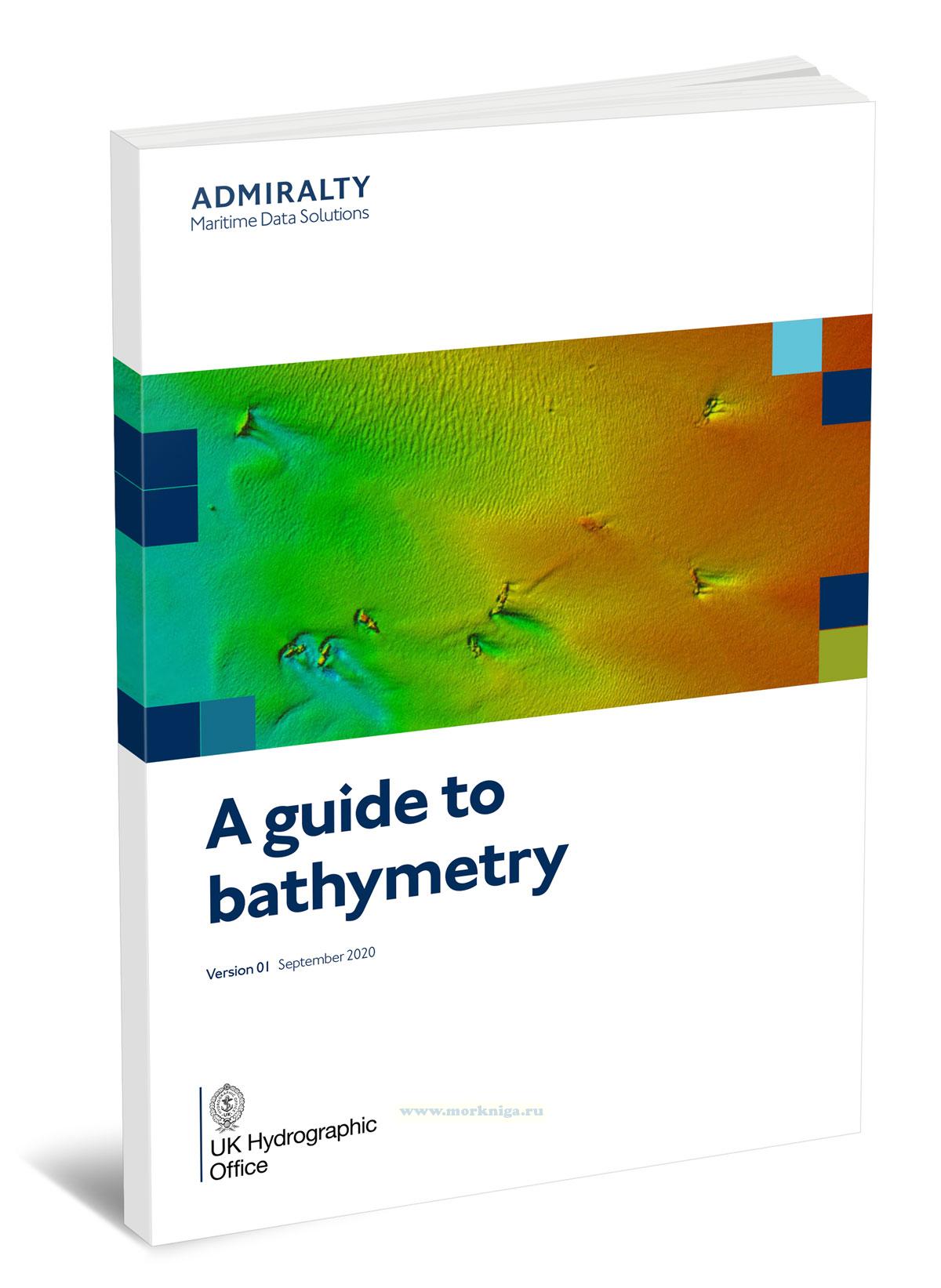
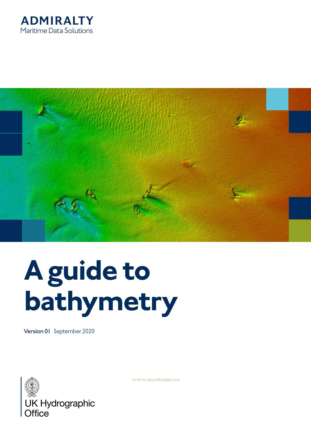
A guide to bathymetry/Путеводитель по батиметрии
Артикул: 00-01127178
в желания В наличии
Издательство: Admiralty (все книги издательства)
Место издания: UK
Год: 2020
Формат: А4 (210х297 мм)
Переплет: Мягкая обложка
Страниц: 41
Вес: 98 г
Издание на английском языке
This book covers the fundamentals of bathymetry, depth measurement methods using various types of echosounders and laser scanning, positioning systems, coordinate systems, and tidal correction techniques. Special attention is given to data quality control, error detection, sunken object surveys, survey results preparation, and reporting requirements.
This publication is intended for specialists in hydrography, marine navigation, surveying, and organizations involved in collecting and processing water depth data.
Content
1. Introduction
2. Introduction to bathymetry
2.1. What is bathymetry?
2.2. Common reasons for bathymetric data collection
2.3. Types of bathymetric instruments
2.3.1. Single-Beam Echo Sounder (SBES)
2.3.2. Multi-Beam Echo Sounder (MBES)
2.3.3. Lidar
3. Positioning systems
4. Datum information
4.1. Horizontal datums
4.1.1. Setting up a geodetic observation
4.1.2. Static validation of vessel position system
4.1.3. Swathe bathymetry repeatability test
4.2. Vertical datums
4.2.1. Tidal reduction methods
4.2.2. Tidal streams
5. Data quality
5.1. Cleaning and S44 tolerances
5.2. Dry man-made vertical structures
5.3. Systematic errors
5.3.1. Motion sensor errors
5.3.2. Patch test
5.3.3. Sound velocity
5.3.4. Tidal errors
5.4. Wreck investigations
5.4.1. SBES wreck investigations
5.4.2. MBES wreck investigations
5.5. Variations to charted information
6. Deliverable formats
6.1. Full density vs. XYZ vs. thinned/gridded
6.2. Gridding/thinning
6.2.1. Shoal vs. average
6.2.2. Interpolation
6.3. Guidance for sounding plots
6.3.1. Sounding label position datum
6.3.2. Sounding plot - shoal biased sounding selection
6.3.3. Graticule
7. Reports of Survey and specifications
7.1. Report of Survey (RoS)
7.2. Specifications
Отзывы покупателей (0)
У этого товара пока нет отзывов. Поделитесь впечатлением первым.