

Каталог▲▼
Electronic chart display and information system HLD-ECDIS 600/Электронная картографическая навигационно-информационная система HLD-ECDIS 600
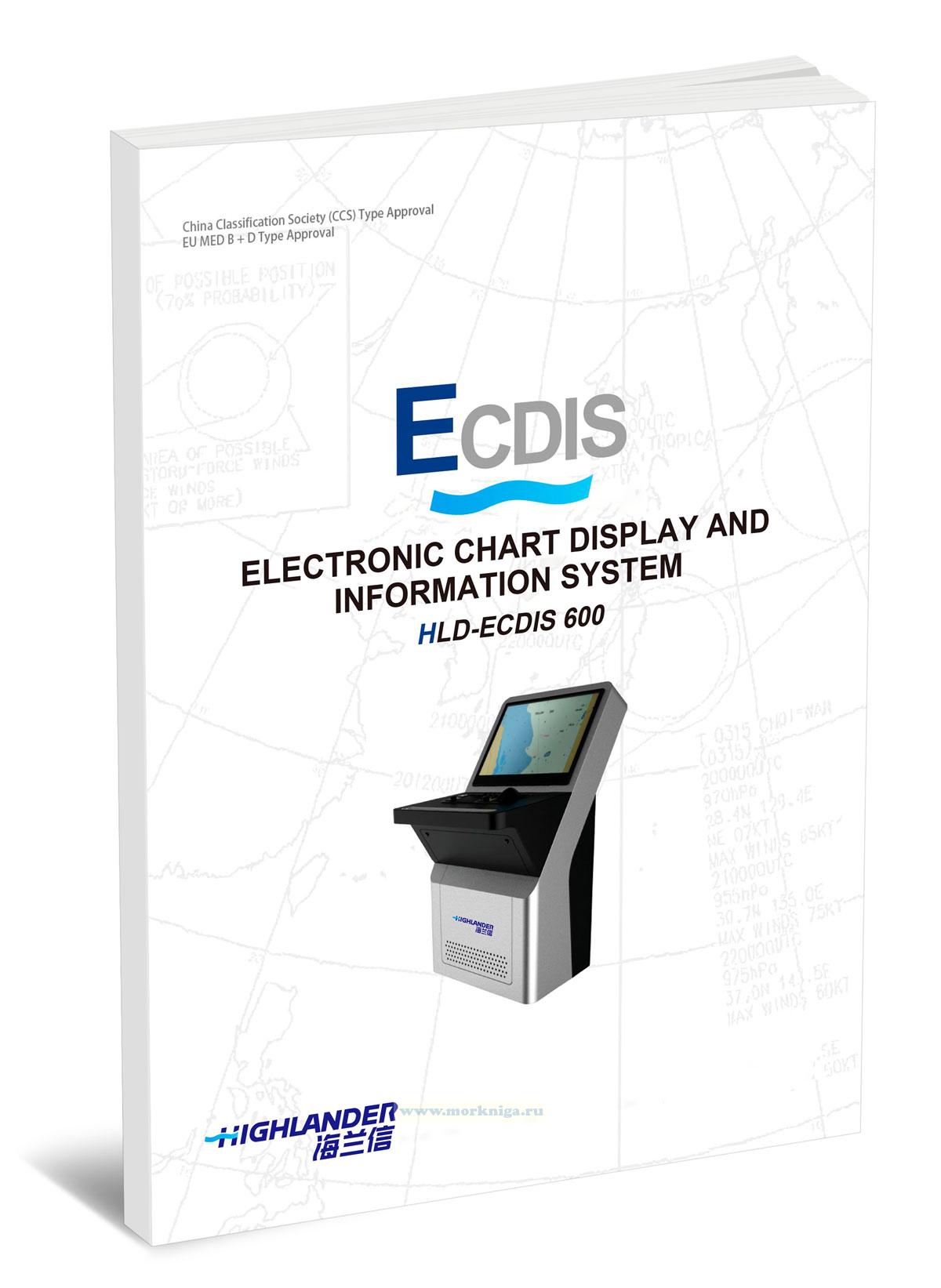
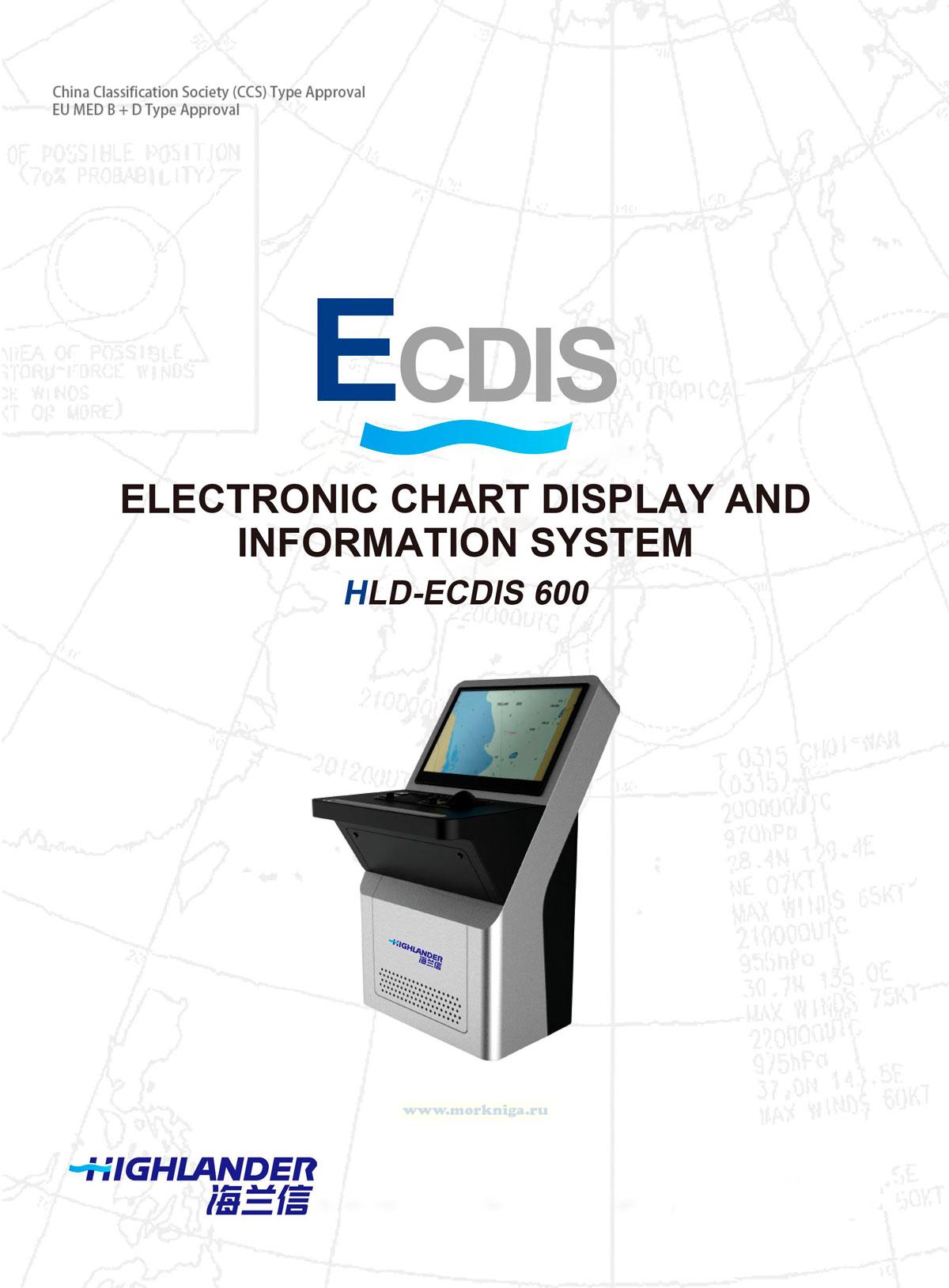
Издание на английском языке
This publication is a user guide for the HLD-ECDIS 600 electronic chart display and information system. It describes the interface structure, controls, chart area, function panels, and basic application settings. It covers turning the system on, restarting, and shutting it down, adjusting brightness, using the Conning application, configuring parameters, manually updating charts, and using navigational features. Special attention is given to chart management, permits, and certificates, route planning, verification, editing, and monitoring, working with radar information, displaying targets, and the emergency alert system.
Content
Contents
Important safety message
Preamble
Annotation
Definitions and abbreviations
Definitions
Abbreviations
Symbols
Purpose of HLD-ECDIS 600 task
Product and performance standards
Software structure
1. ECDIS user interface
1.1. ECDIS 600 user interface structure
1.2. User interface components
1.3. Control panel
1.4. Chart area
1.5. Function panel
1.6. Side panel
1.7. Abbreviations used in the user interface
1.8. Keyboard
2. ECDIS application turning on/off
2.1. Switch on ECDIS 600
2.2. Restart the ECDIS 600
2.3. Switch off ECDIS 600
2.4. Adjust brilliance of display
3. ECDIS application control
3.1. Switch the applications
3.2. ECDIS application screen configuration
3.3. Chart panel settings
3.4. Use of ECDIS application tools
4. Conning application
4.1. Navigation page
4.2. Docking page
4.3. Ais page
4.4. Navtex page
4.5. Record page
4.6. CCRS page
4.7. Sensor page
5. Parameters on setting window
5.1. General page
5.2. Monitor page
5.3. Display page
5.4. Chart page
5.5. System page
6. Manual update
6.1. Manual update session
6.2. View Manual updating
6.3. Using Mariner objects
7. Handling of chart Manager
7.1. Permits and certificate
7.2. Charts
7.3. Explore updates
7.4. Test mode
7.5. XML report/print
8. Handling of route planning application
8.1. Legend information
8.2. Create a route
8.3. Check a route
8.4. Edit the route
8.5. Route protection and indication
8.6. Route schedule creation
9. Handling of route monitoring application
9.1. Import and export a route
9.2. Route search
9.3. Load and unload a route
9.4. Activate a route
9.5. Route monitoring
10. Handling radar information and target designation units
10.1. Radar overlay
10.2. Target display
10.3. Handle targets page
10.4. Handle setting page
11. Alerts
11.1. Alert display
11.2. Alerts
11.3. Alert communication
11.4. Alert escalation
11.5. Cam page
11.6. Cam history page
Document history
Отзывы покупателей (0)
У этого товара пока нет отзывов. Поделитесь впечатлением первым.