

Каталог▲▼
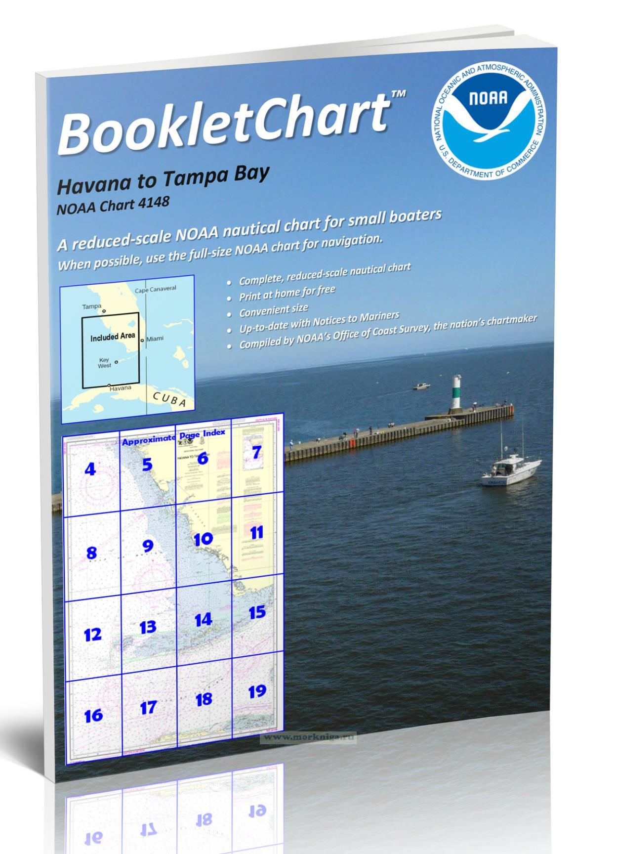
NOAA Chart 4148 Havana to Tampa Bay

Артикул: 00-01095355
в желания В наличии
Издательство: NOAA (все книги издательства)
Серия: NOAA BookletChart
Год: 2021
Формат: А4 (210x290 мм)
Переплет: Мягкая обложка
Страниц: 20
Вес: 48 г
Книга на английском языке
Nautical charts are a fundamental tool of marine navigation. They show water depths, obstructions, buoys, other aids to navigation, and much more. The information is shown in a way that promotes safe and efficient navigation. Chart carriage is mandatory on the commercial ships that carry America's commerce. They are also used on every Navy and Coast Guard ship, fishing and passenger vessels, and are widely carried by recreational boaters.
This BookletChart is made to help recreational boaters locate themselves on the water. It has been reduced in scale for convenience, but otherwise contains all the information of the full-scale nautical chart. The bar scales have also been reduced, and are accurate when used to measure distances in this BookletChart.
This BookletChart has been updated for chart corrections published in the U.S. Coast Guard Local Notice to Mariners, the National Geospatial Intelligence Agency Weekly Notice to Mariners, and, where applicable, the Canadian Coast Guard Notice to Mariners.
Отзывы покупателей (0)
У этого товара пока нет отзывов. Поделитесь впечатлением первым.