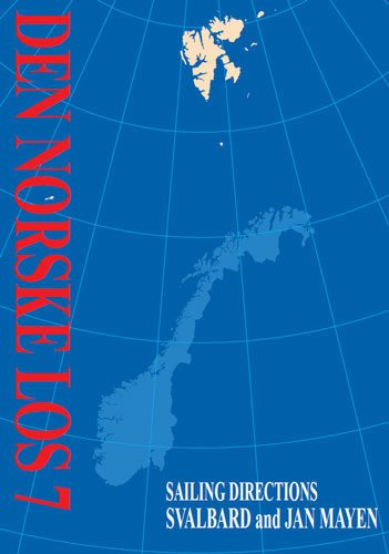
Sailing directions Svalbard and Jan Mayen/Маршруты плавания Шпицберген и Ян-Майен
Издание на английском языке
The first sailing directions were published in 1791 and were at that time a description of each chart. In 1866, sailing directions were collected in one volume, «The Norwegian Pilot» and issued in eight booklets. Each booklet covered one part of the coast, and the firs «Idefjorden–Jomfruland» was issued in 1870–1871. In 1914 eight volumes were published but were then adapted to six volumes in 1955 when «Den norske los» were published regularly.
Volume 7 covers the area «Svalbard and Jan Mayen» and was first published in 1988. In 1990 it was reprinted with reported changes and corrections.
This book's revision is based on earlier editions and received reports. This edition, as previously, is a joint project between The Norwegian Polarinstitute (NP) and Norwegian Hydrographic Service (NHS). This English version has been largely translated by Roy Cooney who has previously translated publications for the NHS and UKHO.
As large sea areas have not been sounded due to financial reasons, the description of the north easterly and easterly areas of Svalbard in particular are essentially based on experiences. Amendments to these areas in the book will be necessary when each new survey becomes available. The reader should take special note of the content expressed in some chapters. In the newest charts of Svalbard there are source diagrams which show the areas that are covered by modern surveys.
Contents
Chapter I
General Information
Svalbard’s history
The Norwegian Hydrographic Service
Charts
Quality of Norwegian paper charts and digital charts of the waters around Svalbard
Sailing Directions
Public administration and services
Svalbard treaty
Information for visitors to Svalbard and Jan Mayen
Definition of Norway’s areas
Definition of boundaries
Regulations for Norway’s sea territory
Treaty between the Kingdom of Norway and the Russian Federation concerning Maritime Delimitation and Cooperation in the Barents Sea and the Arctic Ocean
Regulations on the baselines of the territorial sea around Svalbard
Regulations on the Norwegian sea territory of Jan Mayen
The boundary line between Jan Mayen and Greenland
Land areas of Svalbard and Jan Mayen
Harbours and waterways legislation
Maritime Security
Sea traffic around Svalbard
Regulations relating to use of vessel traffic service areas and use of specific waters (The Sea Traffic Regulations)
Pilotage service and compulsory pilotage in Svalbard
Norwegian preparedness against acute pollution
Preparedness and actions against acute pollution in Svalbard
Territorial sea, fisheries protection zone, fisheries zone and economic zones
Ice at Sea
Tides
Ocean currents in the Barents Sea
Magnetic conditions around Svalbard
Svalbard’s protected areas
Heavy oil and traffic ban
Regulations for preservation of Jan Mayen Nature Reserve
Svalbard’s vegetation
Svalbard’s wildlife
Svalbard’s geology
Weather forecasts for the Arctic Ocean area
The weather Service for Norway
NRK Radio within and outside Norway’s boundaries
Climate conditions
Light
Marking of waterways
Aids to navigation
Svalbard Communications
The communication service around Svalbard, August 2010
Chapter II
The passage from North Norway to Svalbard
Bjornoya
Chapter III
Spitsbergen from Sorkapp land to Isfjorden
Sorkapp–Hornsund
Hornsund
Hornsund–Belsund
Bellsund and its branches
Belsund–Isfjorden
Isfjorden
Chapter IV
The west coast of Spitsbergen from Isfjorden to Norskoyane
Isfjorden–Kongsfjorden
Kongsfjorden–Krossfjorden
Mitra to Magdalenefjorden
Magdalenefjorden to Norskoyane
Inner leads Magdalenefjorden-Nordgattet
Nordgattet–Norskoyane
Chapter V
The north coast of Spitsbergen from Norskoyane to Verlegenhuken
Raudfjorden
Norskoyane–Moffen
Woodfjorden
Wijdefjorden
Chapter VI
North and east coasts of Nordaustlandet
Hinlopenstretet to Sjuoyane
Sjuoyane to Kapp Laura
Kapp Laura–Brasvellbreen
Chapter VII
Hinlopenstretet
Nordporten
Chapter VIII
Storfjorden–Barentsoya and Edgeoya
Storfjorden
Chapter IX
Storoya–Kvitoya–Kong Karls land–Hopen
Storoya
Kvitoya
Kong Karls Land
Hopen
Chapter X
Jan Mayen
The waters around Jan Mayen
Distance tables
Index


