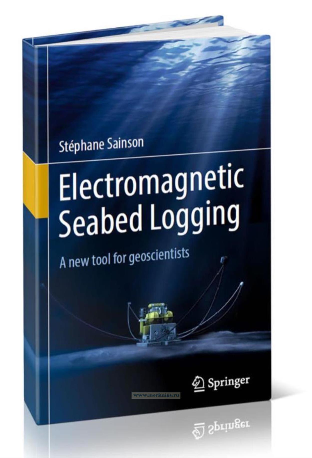
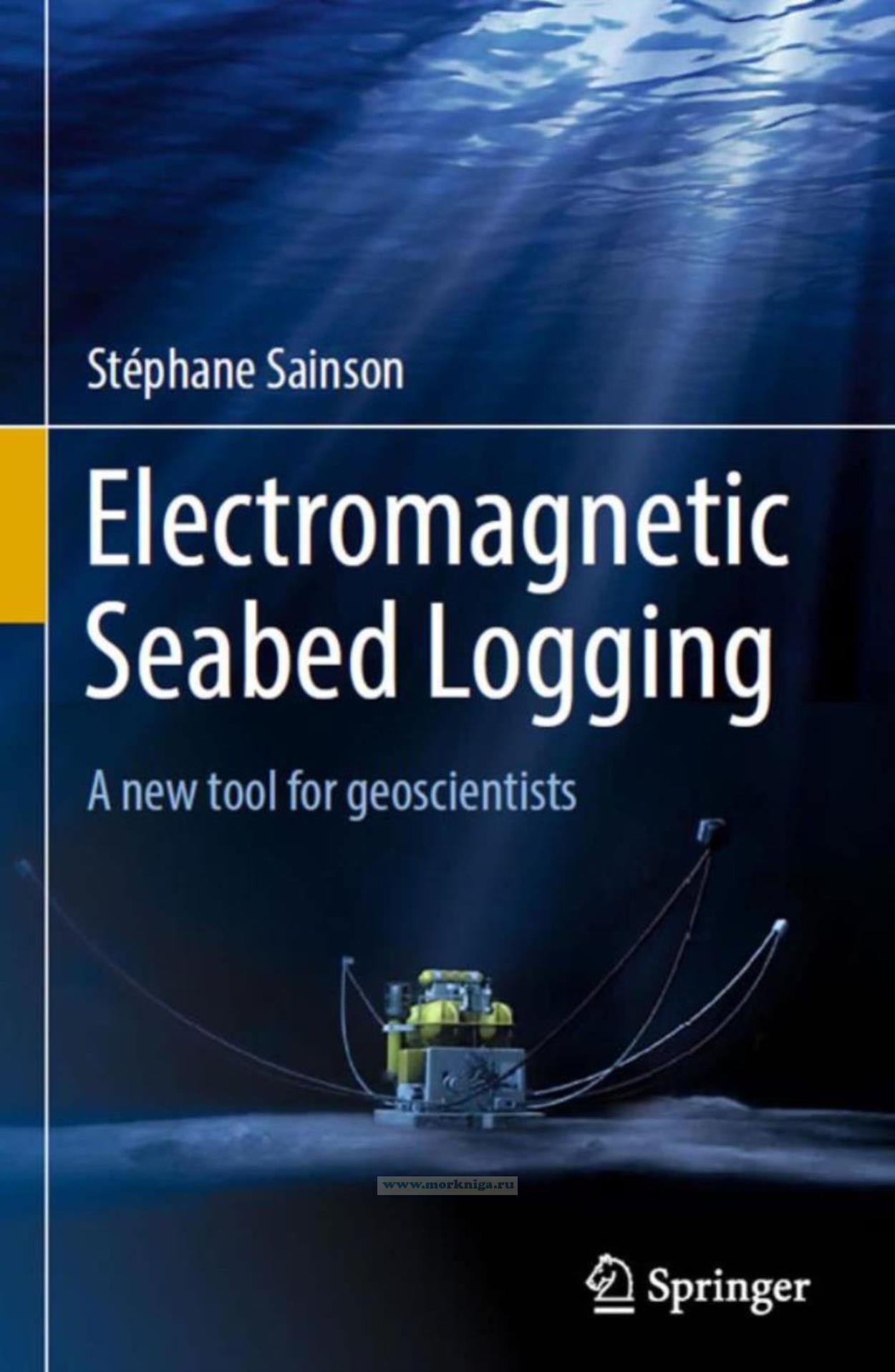
Electromagnetic seabed logging. A new tool for geoscientists/Электромагнитный каротаж морского дна. Новый инструмент для геофизиков
Издание на английском языке
Originally, the book published in 2012 under the title Electrographies de fond de mer: une re?volution dans la prospection pe?trolie`re, edited by Lavoisier, was written for the French public who had no or little knowledge on these new developments of offshore geophysical exploration.
The book was nominated for the French international Roberval’s Award in 2013.
It must be said that hydrocarbon direct prospecting has always aroused in France some very unfavorable reactions a priori often relayed by the institutional and economic circles in place. So it was normal despite a few French development attempts in the past that these new techniques would emerge in the Anglo-Saxon and Scandinavian countries in particular
Contents
1 Introduction
1 Prologue
2 The Economic Environment
3 Elements of Geology and Oil Prospecting
3.1 Exploration: Main Phases
3.2 Marine Geophysics: Preference Domain of the Seismics
3.3 Acquisition Strategy for Geological Data
3.4 Oil Fields: Brief Recollections
3.5 Physical Properties of Rocks and Hydrocarbons
3.6 Indirect Prospecting: A Success in Oil Prospecting
3.7 Direct Prospecting: A Marginal Technique Until Now
3.8 Geology and Geophysics: Two Indissociable Sciences at Sea
4 Electrical Resistivity and Geology
4.1 Lithology Index and Facies Index: Old and New Reality
4.2 Index of Hydrocarbon Presence: A New Concept
5 Seabed Logging: Its Place in Modern Oil Exploration
5.1 Strategic Phase: The Seismics (Structure)
5.2 Tactical Phase: Seabed Logging (the Presence Index)
5.3 Evaluation Phase: Well Logging (Facies)
6 Historical Landmarks in EM Seabed Logging
6.1 Terminology
6.2 The Precursors: Electrical Prospecting by the French School
6.3 The Continuers: Researchers and Earth Physics
6.4 The Innovators: Offshore Oil Prospecting
6.5 The Inventors: Seabed Electrometry
6.6 The Industrial Rise: A Very Recent Activity
7 Philosophy and Interest of SBL Methods
7.1 The Continuous Current: An Exploration Limited to the Vertical
7.2 Variable Currents: The Accessible Lateral Exploration
8 Industry of EM Seabed Logging
8.1 The Market: A Highly Growing Activity
8.2 The Active Companies in this Market
9 Environmental Impact
9.1 Effect on the Number of Exploration Drillings
9.2 Effect on Submarine Fauna
10 General Presentation of the Book
References
2 Principles and Methods
1 Introduction
2 Laws and Physical Principles
2.1 General Laws Applying to Electrical Prospecting
2.2 Electromagnetism and Marine Geophysical Prospecting: Recollections
2.3 General Principles of the Electromagnetic Exploration
2.4 Physical Principle of Stationary Current Marine EM Seabed Logging
2.5 Physical Principle of Alternative Current Marine EMSBL
2.6 Physical Principles of Variable Current Electrography
2.7 Acquisition, Disposition and Measurement Principles
3 Different Methods and Associated Devices
3.1 The Controlled Source Methods
3.2 Controlled Source Techniques Under Development
3.3 Telluric Source Methods
3.4 Comparison of the Main Methods
4 Operational Limitations: Detection Problem
4.1 In Terms of Time: The Phenomena of Reflection/Refraction
4.2 In Terms of Frequency: Limitations Due to the Offset
4.3 Problem of Anisotropy and its Treatment
4.4 The Oilfield Topologic Problem
5 Advantages and Disadvantages with Regard to the Seismic Method
5.1 In Geophysical Terms: Saturation Indicator
5.2 In Environmental Terms
6 Combined and Hybrid Methods
7 Conclusion and Synthesis
References
3 Metrology and Environment
1 Introduction
2 Electromagnetic Properties of Propagation Media
2.1 Conductivities and Electrical Resistivities
2.2 Magnetic Permeability
2.3 Dielectric Permittivity
2.4 Summary of the EM Properties of Propagation Media
3 Frequential Aspect of the Method
3.1 Conductor Media: Eddy Currents and the Skin Effect
3.2 Dielectric Media: Low Attenuation
3.3 Investigation Depth and Penetration Depth
3.4 Phase Difference
3.5 Effect of the Frequency on Detection
3.6 Sensitivity to Changes in Resistivity, Bathymetric and Topographic Effects: Three Examples of Operational Constraints
3.7 Reflection/Refraction of EM Waves
3.8 Refraction Conditions: Wave Lengths and Frequencies
3.9 Propagation of EM Waves in the Hydrocarbon Reservoir
3.10 The Hydrocarbon Reservoir: A Resistive Wave Guide
3.11 Attenuation of the Electrical Fields, of the Direct, Reflected and Refracted Waves
3.12 Nature of the EM Waves: Upwaves or Downwaves
3.13 Separation of the Up and Down EM Waves
3.14 Phase Shift of the EM Waves and Estimation of the Depth of the Reservoir
3.15 Amplitude Normalization of the EM Fields
4 Temporal Aspect of the Method
4.1 Speed Propagation of the EM Waves in the Different Media
4.2 Time Courses of EM Waves According to the Distances
4.3 Propagation Time Depending on the Offset
5 Theoretical Evaluation and Measurement of EM Fields
5.1 Maxwell’s Equations: Positioning Problem
5.2 Calculations of EM Answers in TE and TM Modes
5.3 Measurements: Evaluations of E and B Fields
5.4 Elliptic Representation of the Fields
5.5 Amplitude Units of the Electric Fields
5.6 Measurement, Evaluation of the Background Noise EM and the S/N Ratio
6 Definition of Acquisition Systems and Operational Procedures
6.1 Injections of Energy in a Geological Medium
6.2 Sensitivity and Topologies of Fields Measurements
6.3 Electrical Fields Measurements
6.4 Magnetic Field Measurements
6.5 Recordings, Calibrations, Standardization and Presentation of Results
6.6 Errors, Accuracy and Measurement Uncertainty
6.7 Measurement Quality Control
6.8 Optimal Conditions of Detection in EM SBL
6.9 Measurement Conditions Favorable in Electromagnetotelluric Detection
6.10 Sequence of an Operation of EM Seabed Logging
7 Conclusion
References
4 Instrumentation and Equipment
1 Introduction
2 Measurement Requirements: Quality Criteria for the Instruments
2.1 First Imperative: Power Consumption and Electromagnetic Discretion
2.2 Second Imperative: Correctness
2.3 Third Imperative: Fidelity
2.4 Additional Qualities
2.5 Signal-to-Noise Ratio
3 History of Measuring Equipment
4 The Transmitter
4.1 Power Source
4.2 Power Electronics
4.3 Type of Generated Wave
4.4 Transmitting Antenna
4.5 Telluric Sources
5 Receivers
5.1 Types of Receivers
5.2 Potential Difference Vector Electrometers
5.3 Current Density Vector Electrometers
5.4 Streamer Electrometers with Horizontal Current Injection
5.5 Streamer Electrometer with Vertical Injection
5.6 Downhole Electrometers
5.7 Vector Magnetometers and Variometers
5.8 Magnetotelluric Receptors
5.9 Digital Processing of the Reception Signals: Generalities
5.10 Data Processing
6 Operational Means
6.1 Surface Vessels and Operations
6.2 Navigation and Bathymetry Instruments
6.3 Procedures for Implementation
6.4 Related Measures
6.5 Configurations of the Survey
7 Conclusion and the Future
References
5 Interpretations and Modeling
1 Introduction
2 Reminders and General Information on Methods of Interpretation
2.1 Resolution of the Forward Problem: Generalities
2.2 Resolution of the Inverse Problem: Generalities
2.3 Simulation: Generalities
2.4 Choice of Interpretation Methods
3 Analytical Models
3.1 Reminders
3.2 Theory of Electrical Images
3.3 Method of Abacuses (1D Formulation)
3.4 Analytical Model of the Sphere (3D Formulation)
3.5 Conclusion on Analytical Models
4 Numerical Models
4.1 Generalities on Numerical Resolution Methods
4.2 Integral Equation Method: An Example of Numerical
Resolution
4.3 Extrapolation Methods
4.4 Problems and Limitations of Numerical Methods
5 Inversion Techniques
5.1 Generalities on the Inversion of Data
5.2 Inversion Principle
5.3 Inversion Methods
5.4 Actual Interpretation Process
5.5 Imagery: Electromagnetic Holography
6 Analog Models
6.1 Vocation of Analog Models
6.2 Equipment
6.3 Precautions to Be Taken into Account During the Manipulations
7 Tutorial and Practice
8 Conclusion
References
6 Geological Applications
1 Introduction
2 North Atlantic: RAMESSES III (Oceanic Ridge)
2.1 Geological Context
2.2 Technical Context
2.3 Results: Interpretation
3 West Africa: Angolan Basin (Oil)
3.1 Geological Context
3.2 Technical Context
3.3 Results: Interpretation
4 North Sea: Troll Field (Gas)
4.1 Geological Context
4.2 Technical Context
4.3 Results: Interpretation
5 North Sea: Frigg Field (Gas and Pipelines)
5.1 Geological Context
5.2 Technical Context
5.3 Results: Interpretation
6 Barents Sea: Nordkapp Basin (Diapir)
6.1 Geological Context
6.2 Technical Context
6.3 Results: Interpretation
7 Malaysia: Oil Deposit Monitoring
7.1 Principles of the Method
7.2 Objectives Reached or to Be Achieved
7.3 Technical Context
7.4 Results: Interpretation
8 Example of Prospecting by Direct Current
8.1 Geological Context
8.2 Technical Context
8.3 Results: Interpretation
8.4 Other Mining Applications
9 Ongoing Developments
10 Epilogue
References
General Conclusion and Perspectives
Postface
Appendices
Glossary
Index

