

Каталог▲▼
Admiralty Tide Tables. NP201B. Volume 1B. 2025. United Kingdom and Ireland (Excluding Isles of Scilly, Channel Islands and European Channel Ports)


Артикул: 00-01020169
в желания Под заказ
Издательство: United Kingdom Hydrografic Office (все книги издательства)
Место издания: London
ISBN: 978-0-70-772-2641
Год: 2025
Переплет: Мягкая обложка
Страниц: 376
Вес: 920 г
Товар будет заказан у поставщика.
Мы не можем гарантировать его наличие и поступление на наш склад по указанной цене
Мы не можем гарантировать его наличие и поступление на наш склад по указанной цене
14625 P
-
+
С этим товаром покупают
 Лоция Берингова моря. Часть 1. Адм.№1408
  Высоты и азимуты светил (ВАС-58) Том 1. Адм. № 9003. Для широт 0-19 градусов
 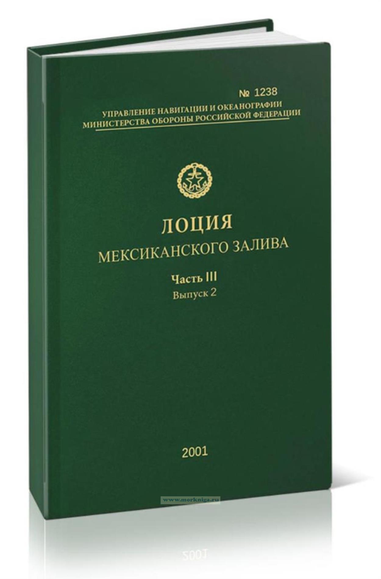 Лоция Мексиканского залива. Адм. № 1238
 Издание на английском языке
Vol. IB: General arrangement
The introduction deals with a number of subjects of general interest, in particular the effect of meteorological conditions on tidal heights; following the introduction are a number of special tables and diagrams for use with the tide tables.
Part I of these tables gives daily predictions of the times and heights of high and low waters at a selected number of Standard Ports. The list of Standard Ports is given at the front of the book. Included with each set of predictions for Standard Ports is a diagram to facilitate the calculation of heights at times other than high and low water. An explanation of the use of these diagrams is given in the Instructions for the use of the Tables (page xviii). Note that diagrams are not available for Cumberland Basin Entrance, Foynes Island, Neyland, Sharpness Dock and Widnes due to limited source data.
Part la gives hourly height predictions for Rosyth, Liverpool and Avonmouth (Port of Bristol).
Part II gives data for prediction at a large number of Secondary Ports; this is in the form of time and height differences, referred to one of the Standard Ports in Part I.
Part III gives the harmonic constants for use with the Simplified Harmonic Method of Tidal Prediction. In those cases where harmonic constants are given two alternative methods of prediction are available.
Contents
Index to Standard Ports in Part I
Preface
Purpose
Related ADMIRALTY Publications
ADMIRALTY Digital Publications (ADP) - ADMIRALTY TotalTide
Diagram showing limits of ADMIRALTY Tide Tables
Introduction
Methods of Prediction: Tidal Levels: Meteorological Effects on Tides: Negative Surges: Shallow Water Corrections: Seasonal Changes in Mean Level: Seasonal Variations in Harmonic Constants: Zone Time and Time Differences: Tidal Streams and Currents: Tidal Data on ADMIRALTY Charts: Datums of Tidal Predictions: Height Differences: Seismic Sea Waves: Supplementary Tables
Instructions for the use of Tables
Supplementary tables
Table I: Conversion Table - metres to feet
Table II: Multiplication Table
Table III: Height of Chart Datum relative to Ordnance Datum in the United Kingdom
Table IV: Height of Chart Datum relative to the Land Levelling System in countries outside the United Kingdom
Table V: Part 1 Tidal levels at Standard Ports, Authorities, methods of prediction, etc. (with notes)
Part 2 Highest Astronomical Tide Levels (HAT) at SecondaryPorts
Table VI: Fortnightly Shallow Water Corrections
Table VII: Tidal Angles and Factors
Table VIII: Orbital Elements
Part I
Predictions of high and low water for Standard Ports (with diagrams to facilitate prediction at times between high and low water for all Standard Ports)
Part Ia
Hourly height predictions
Part II
Non-harmonic data
Notes on Part II
Part III
Harmonic Constants
General
Geographical Index
List of tidal publications
Diagram showing direction of main flood stream
Certificate of Authenticity