

Каталог▲▼
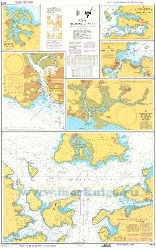
RYA Training Chart 4
Артикул: 00820893
в желания В наличии
С этим товаром покупают
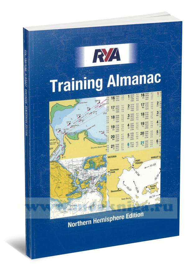 RYA Training Almanac
 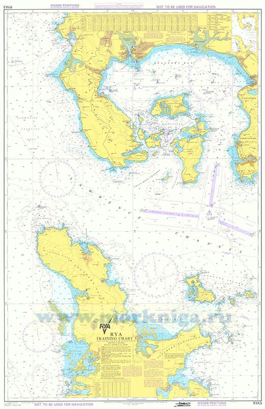 RYA Training Chart 3
 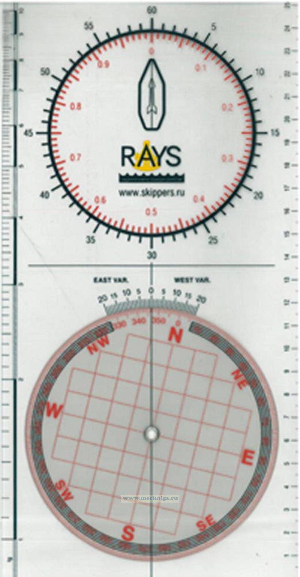 Плоттер RAYS
 Not to be used for navigation
Depths in metres
Depths are in metres and are reduced to Chart Datum, which is approximately the level of Lowest Astronomical Tide.
Heights are in metres. Underlined figures are drying heights above Chart Datum. Vertical clearance heights are above Highest Astronomical Tide. All other heights are above Mean High Water Springs.
Positions are referred to WGS84 Datum (see satellite-derived positions note).
Navigational marks: I ALA Maritime Buoyage System-Region A (Red to port).
Projection: Transverse Mercator.
Sources: The origin, scale, date and limits of the hydrographic information used to compile the chart are shown in the Source Diagram. Depths in upright figures are from older surveys.
Caution
This chart has been prepared from portions of several Admiralty charts; these have been combined and altered to produce an entirely fictitious area of the World for use as a Training Chart. Consequently, it can not be used for any actual navigational purposes.
Satellite-derived positions
Positions obtained from satellite navigation systems, such as GPS, are normally referred to WGS84 Datum. Such positions can be plotted directly on this chart.
Lights
Light stars without legends represent two fixed lights displayed vertically. They are seen as red to port and green to starboard when proceeding upriver.
Ferries
Ferries enter and leave Port Fraser and Port Fitzroy harbours at frequent intervals. Mariners not entering the port are advised to maintain a distance of at least 500 metres from the entrance. Information concerning shipping movements can be obtained from the Fraser-Fitzroy Ferry Company; see Admiralty List of Radio Signals.
Pipelines
Mariners are advised not to anchor or trawl in the vicinity of pipelines. Gas from a damaged oil or gas pipeline could cause an explosion, loss of a vessel's buoyancy or other serious hazard. Pipelines are not always buried and may effectively reduce the charted depth by up to 2 metres. They may also span seabed undulations and cause fishing gear to become irrecoverably snagged, putting a vessel in severe danger. See Annual Notice to Mariners No 24.
Overhead cables
Overhead cables may conduct high voltages; contact with or proximity to these poses extreme danger. Sufficient clearance must be allowed.