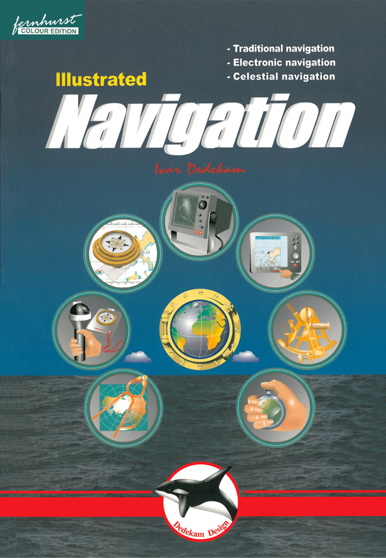
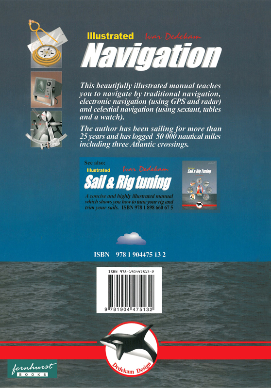
IIIustrated navigation. Иллюстрированная навигация
Издание на английском языке
This book will teach you how to navigate in the traditional way using compass, log and plotter and also how to navigate by means of electronic aids like GPS, radar and chartplotter.
In addition you will also learn some basic celestial navigation using the sun and stars to obtain your position using sextant, almanacs, tables and a watch.
Knowlegde of traditional navigation is very important, not only when you have a breakdown of the electronic equipment but also as a means to reveal wrong setups and malfunctioning of this equipment.
What distinguishes this book from the majority is the short, concentrated text backed up by over 120 computer-generated graphics. My aim has been to make it easy to find, understand and remember the information you are seeking. I must also express my thanks to Harald Erik Bjerke for his translation of the original norwegian text.
Contents
Traditional navigation
How charts are created
Latitude and longitude
Position
Using charts Variation and deviation
The steering compass
Logs and echosounders
Plotting implements
Leeway and current
Handbearing compasses
Dead reckoning/Bearings
Miscellaneous
Night sailing I
ALA buoyage system
Tide and tidal currents
Navigation lights
Summary
Electronic navigation
The GPS system
How does GPS work?
GPS receivers
Using the GPS receiver
Chart plotters
Using the chart plotter
Waypoints and Routes
Display setup
Receiver setup
Radar
How the radar works
Range/Bearing discrimination
Radar operation
Adjusting the radar
Radar problems
Setting up the display
Collision avoidance
Celestial navigation
The sun's Geographic Position Astronomical model
Principles of celestial navigation
Hour Angles
Noon Sight
Measuring sun's altitude UTC,
Zone and Standard time
Working a sight
Sight reduction sheet
Taking the Noon sight
Plotting position lines
Finding lat. and long, directly
Corrections Stars
Polaris (the polar star)
Using a calculator
Appendix: Tables & formulae


 Яхтенный путеводитель "Хорватия"
  Настройка парусов и такелажа
  Illustrated Seamanship. Иллюстрированное морское искусство