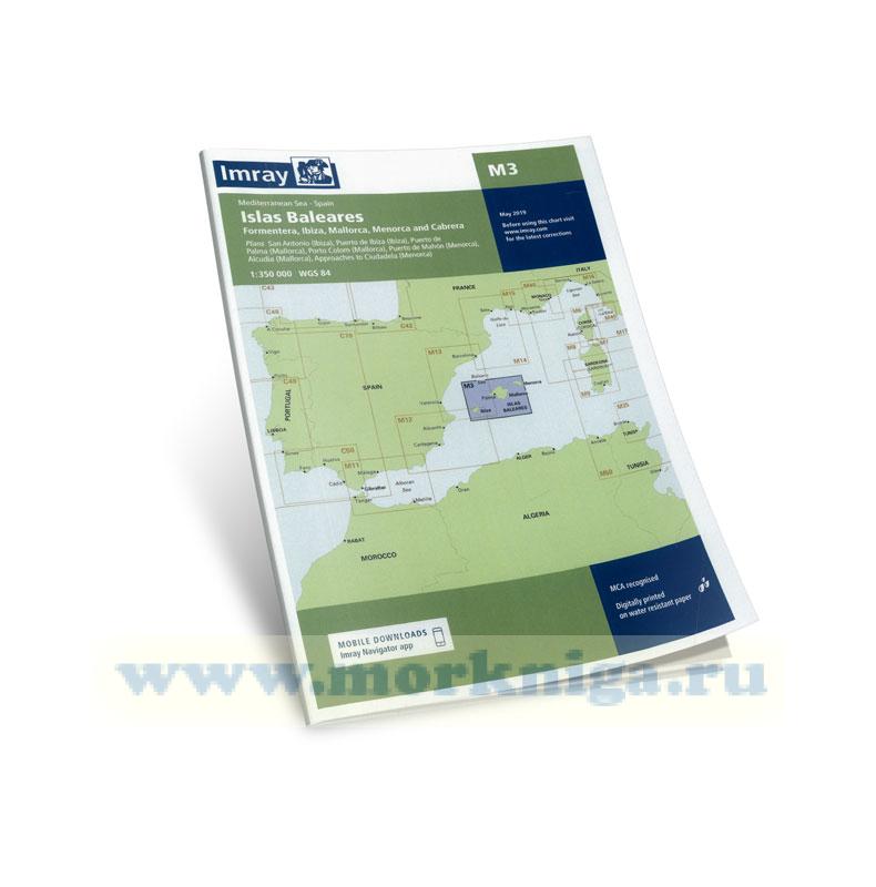
cм . также [url806013]Балеарские острова: Майорка, Менорка, Ибица и Форментера 10-я редакция islas baleares[/url806013], [url153660]30307 От Балеарских островов до островов Сардиния и...
since j w norie published the first edition of his complete set of nautical tables and epitome of practical navigation in 1803, many changes to the tables have been necessary in both content and presentation. new tables have been included, obsolete ones deleted to conform with changing techniques...
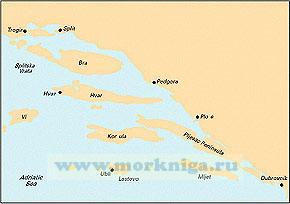
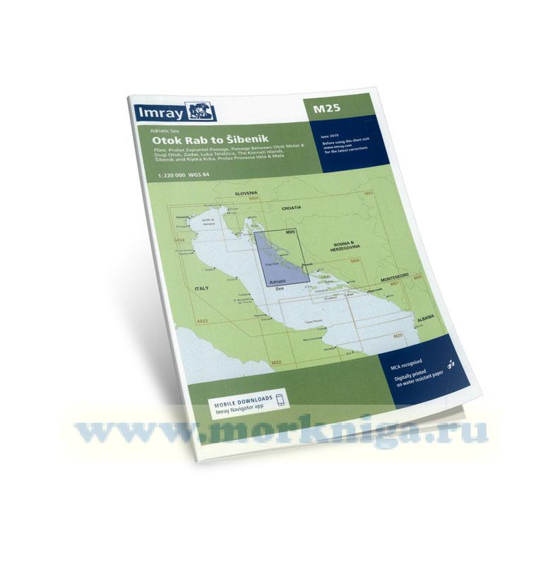
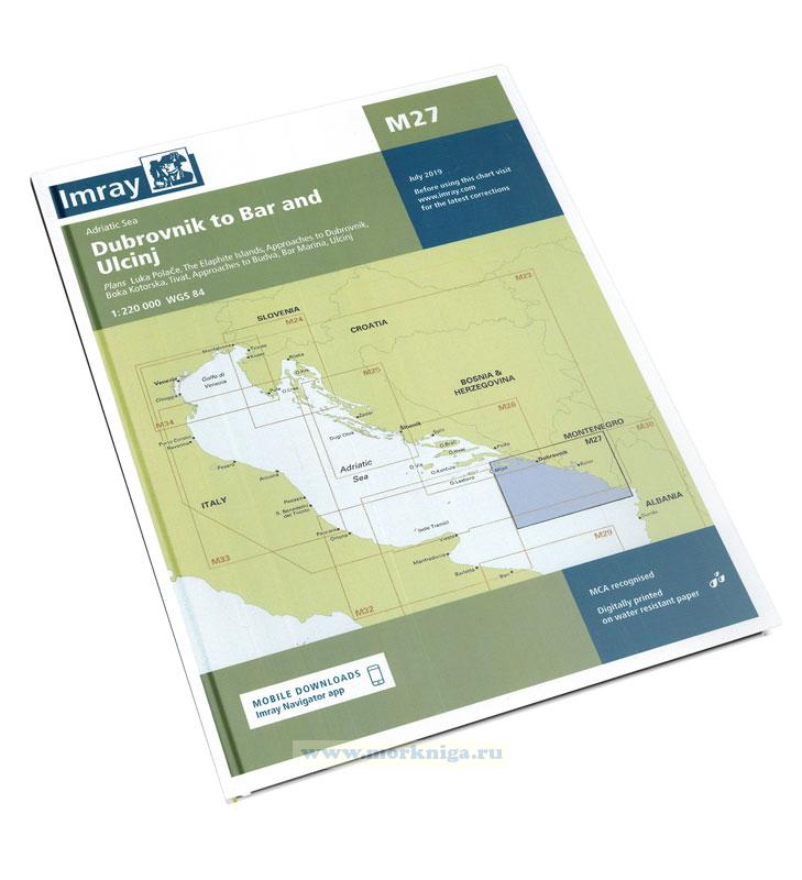
corrected to june 2019 Масштаб 1:220 000 См. также [url150241]33309 От острова Корчула до порта Сплит (Масштаб 1:100 000)[/url150241] [url150239]33307 От порта Дубровник до мыса Ловишче (Масштаб 1:100...
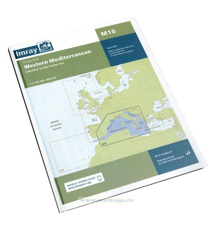
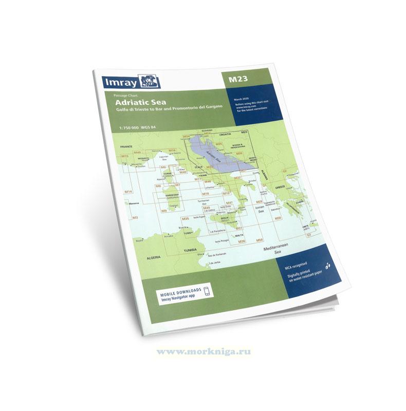
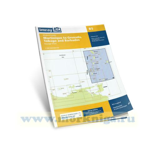
imray charts set the standard for the leisure sailor, with award-winning cartography compiled, drawn and published in england. our distinctive colour scheme, coloured light sectors and fine overprinted latitude and longitude grids make plotting easier. based on up-to-date hydrographic office...
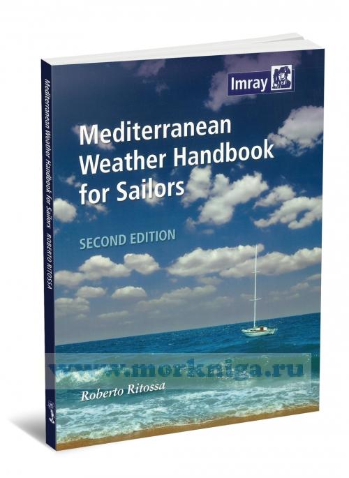
the purpose of this book is to give a general understanding of the various phenomena concurring to determine weather in the [url279899]mediterranean[/url279899], and provide useful forecasting aids. it is written for sailors, not meteorologists; theory is kept to a minimum, while every effort is...
Масштаб 1:220000 См . также: [url806064]m24: Адриатическое море: Триест - Раб golfo di trieste to losinj & rab[/url806064] [url00-01006436]38323Б Подходы к порту Шибеник и гавани Плоче. Походы к гавани...
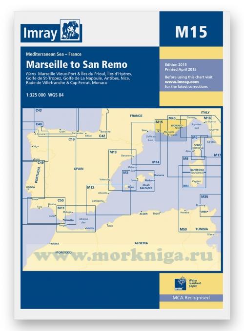
plans included: marseille vieux-port & ?les du frioul (1:35 000) ?les d’hy?res (1:135 000) golfe de st-tropez (1:70 000) golfe de la napoule (1:60 000) antibes (1:15 000) nice, rade de villefranche & cap ferrat (1:30 000) [url150177]monaco[/url150177] (1:20 000) on this 2015...
imray charts set the standard for the leisure sailor, with award-winning cartography compiled, drawn and published in england. our distinctive colour scheme, coloured light sectors and fine overprinted latitude and longitude grids make plotting easier. based on up-to-date hydrographic office...
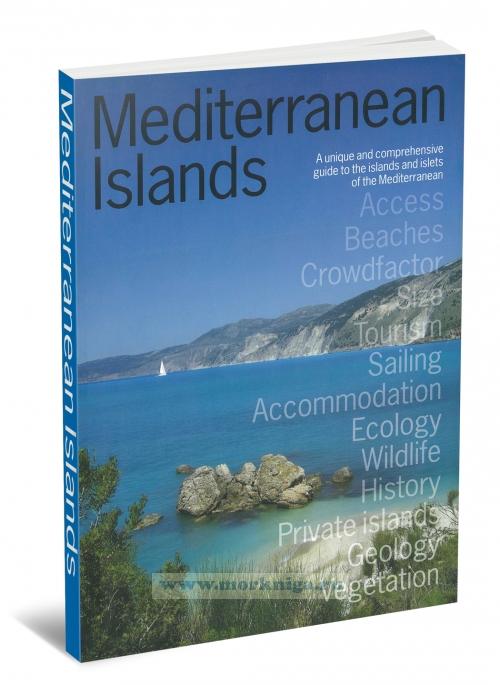
a unique and comprehensive guide to the islands and islets of the [url455355]mediterranean[/url455355], and essential reading for med lovers, island-devotees, sailors, 'escapers' and anyone dreaming of their next mediterranean holiday. mediterranean islands is a unique guide, providing detailed...
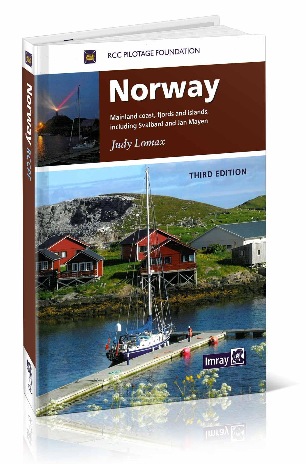
this book is about sailing in the north atlantic, roughly from latitude 60°n to the arctic circle (66°30'n) and, in greenland, into the regions of ice as far north as 71°n on the east coast (scoresbysund) and 78°n on the west coast (thule). not much more than 1,000 miles from britain as the...
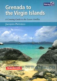
this popular book covering the caribbean from grenada and barbados to the virgin islands is a translation from jacques patuelli's original french version. each island is dealt with in detail and pilotage notes are followed by tourist information and the usual data on formal ities and facilities. ...
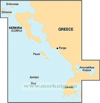
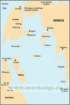
См . также: [url455365]ionian. Ионическое море[/url455365] [url150209]35304 Северная часть пролива Керкира (Масштаб 1:50 000)[/url150209] [url150185]32211 От острова Лефкас до мыса Кефали (Масштаб 1:200...
imray charts set the standard for the leisure sailor, with award-winning cartography compiled, drawn and published in england. our distinctive colour scheme, coloured light sectors and fine overprinted latitude and longitude grids make plotting easier. based on up-to-date hydrographic office...
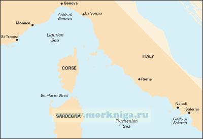
Масштаб 1: 950000 Включает планы: monte argentario bonifacio straits golfo di salerno Карта сложена до формата А4 и упакована в пластиковый карман. См . также: [url204170]Лоция Тирренского и...
this, the sixth edition of [url455293]mediterranean[/url455293] cruising handbook, has had a major revision reflecting the changing demands for sailors in the electronic age. in addition to the subjects covered in previous editions; the largely unchanging data formerly included in the imray...
См . также [url148511]31029 Восточная часть Ионического моря (Масштаб 1:500 000)[/url148511] [url806020]greek waters pilot Греция: Ионические острова, побережье и острова Эгейского моря 12-я...
whilst the rcc pilotage foundation, the author and the publishers have used reasonable endeavours to ensure the accuracy of the content of this book, it contains selected information and thus is not definitive. it does not contain all known information on the subject in hand and should not be...
corrected to february 2019 on this edition the chart specification has been improved to show coloured light flashes. there has been general updating throughout.