с 9:00 до 19:00
Каталог▲▼
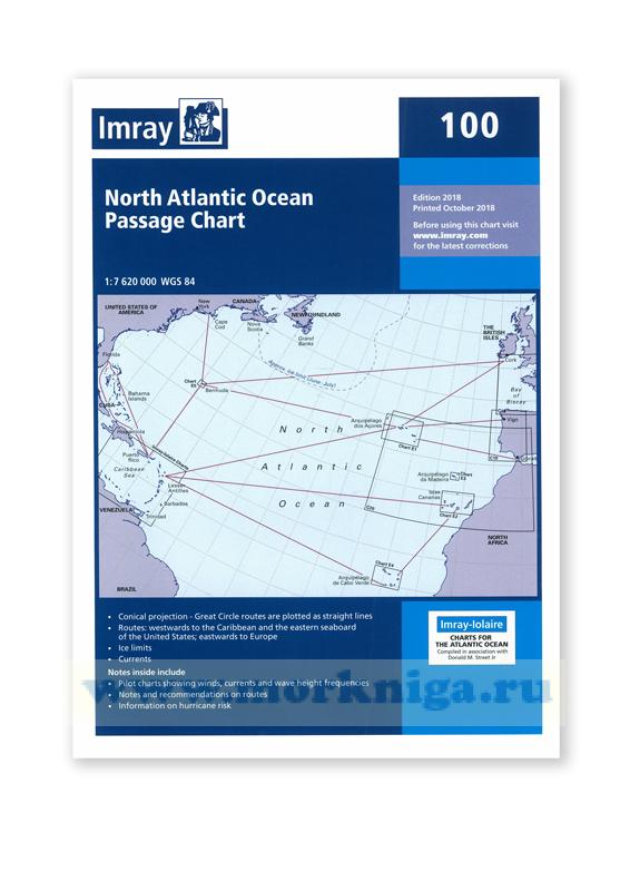
Chart 100 North Atlantic Ocean Passage Chart Северная часть Атлантического океана (1:7 620 000)
")
Артикул: 00456056
в желания В наличии
Автор: Imray
Издательство: Imray (все книги издательства)
Место издания: England
ISBN: 9781786790699
Год: 2018
Вес: 227 г
С этим товаром покупают
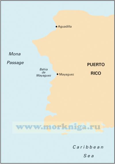 A11 Bahia de Guanica to Punta Borinquen
 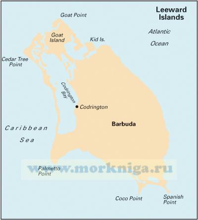 A26 Barbuda
 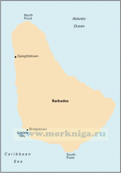 B2 Barbados
 At a scale of 1:7,620,000 this chart covers the North Atlantic from Brazil to Newfoundland and Gibraltar to the Caribbean. It has been constructed on a conical projection that means that Great Circle tracks can be plotted as straight lines rather than curves.
Chart 100 shows the main trend of depth contours, limits of ice, magnetic variations and keys routes as identified by Donald M. Street Jr. In the enclosed booklet are pilot charts showing winds, currents and wave height frequencies with accompanying notes on favourable route timings and hurricane risk.
Chart 100 is an important companion for Atlantic yachtsmen on passage and an excellent source of planning information.
Масштаб: 1:7620000
Размер: 787 x 1118 мм
Карта складывается до формата А4 и упаковывается в специальный пластиковый карман