звоните нам Пн-Пт с 9 до 19,
Сб с 10 до 16
Сб с 10 до 16
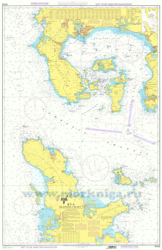
The RYA Training Charts and the supporting Training Almanac cover a fictitious area of the world. The coverage of the charts displays some of the land mass of three countries. The northern area of the chart covers the Northern Territories which includes the islands within Beaufort Bay. The time zone for the Northern Territories is Universal Time (UT), zone 0. The Northern Territories also has Daylight Saving Time (DST) as noted in the tide tables within this Training Almanac. The Southern Peninsula, on the southern section of the chart, has a -0100 time zone (to convert Southern Peninsula time to UT, -1H); it also has its own DST as shown on the tide tables. The Neptune Islands have the same time zone (-0100) and DST as the Southern Peninsula. Whilst the Northern Territories and the Southern peninsula have the IALA buoyage system (region A) the Neptune Islands have the IALA buoyage system (region B).
Victoria, which is situated on the west coast of the Northern Territories, is the primary standard port on which the tidal stream atlas and tidal diamonds are based. The tidal stream floods from the NW of the area towards the SE along the Lawrence Channel. The so-called Northern Current is said to curve offshore north of Point Victoria; therefore any effect of an ocean current has been ignored.
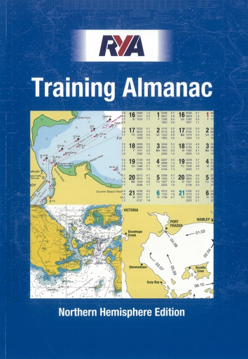
The navigational information in this Training Almanac has been prepared from the RYA Training Charts. These charts represent an entirely fictitious area of the world. Consequently, the Training Almanac cannot be used for any actual navigational purpose.
CONTENTS
INTRODUCTION
REFERENCE INFORMATION
International port traffic signals Distress and life-saving signals Abbreviations Light characteristics Admiralty symbols Distance for a given speed and time Compass deviation table
Lights - distance off when rising and dipping
TIDAL STREAM ATLAS
Tidal levels table
Six hours before HW Victoria
High water Victoria
Six hours after HW Victoria
Computation of rates
COASTGUARD INFORMATION AND WEATHER BROADCASTS
NORTHERN TERRITORIES AND ADJACENT ISLANDS
Northern Territories passage information
Northern Territories - alphabetical list of lights (5M+ range)
VICTORIA - Standard Port
Bramhope Creek
DUNBARTON and Setter Hall Marina - Standard Port
Suzy Bay Marina
Stevenstown
PORT FRASER - Standard Port
NAMLEY HARBOUR - Standard Port
Whale Bay and Rawmarsh Marina
Port Rampton (Quarry Marina)
Farlow River
Walton Bay
Parvin Sound
Endal Marina
Rozelle Cove
India Harbour (Beaker Bay)
SOUTHERN PENINSULA
Southern Peninsula passage information
Southern Peninsula lights - alphabetical list (5M+ range)
HAMILTON SOUND - Standard Port
Edenfield
Sweetwater
COLVILLE - Standard Port
Sandquay
S. Kilda
Dawson Harbour
PORT FITZROY - Standard Port
Blackmill
NEPTUNE ISLANDS
Neptune Islands passage information
Neptune Islands lights - alphabetical list of lights (5M+ range)
Port Slade


 RYA Training Chart 3
  RYA Day Skipper. Дневной шкипер
 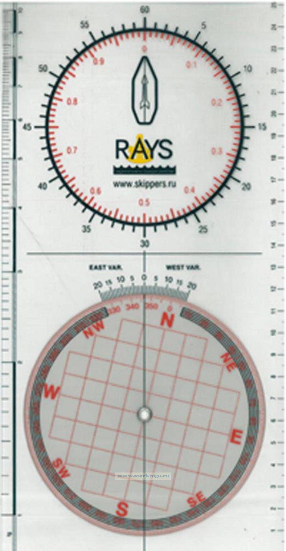 Плоттер RAYS