звоните нам Пн-Пт с 9 до 19,
Сб с 10 до 16
Сб с 10 до 16
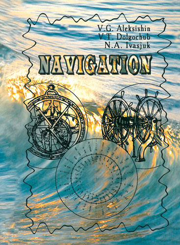
Издание на английском языке
This Manual is to be a teaching text to study the subject “Navigation and Sea Pilotage”.
The Navigation has got two fundamental problems to solve, namely, the problem of finding ship’s position at sea and the problem of designing her future safe course from one place to another.
To do it in the best way it is necessary before all to select the optimum (the most profitable) sea route, i.e. such a ship’s track, which permits her voyage intended to be completed in the shortest time, since expenses per voyage arc approximately in proportion to its time extent.
In Pilot-book we find all about: Dangers, Lights, Buoys and Beacons, Anchorages, Directions, Tides, and Tidal Streams, Port Facilities and Port Regulations - all for Increasing Safety at Sea.
These are methodical notes on basic aspects of modem Marine Navigation, given in a concise and comprehensible way. The notes may serve as a helpful guide to the students of Marine Colleges and young deck officers in their daily routine work.
It is also believed that this book will be of particular benefit to those who are eager to perfect their knowledge in professional Marine English, as well as to all those who seek a little more knowledge, they often used in their activity'.
Contents
Foreword
1. Basic principles of navigation
1.1. The Shape and Sizes of the Earth
1.2. The Principal Points. Circle, Planes and Lines on the Surface of the Earth's Sphere
1.3 The Geographical Coordinates
1.4. The Difference of Latitude and the Difference of Longitude
1.5. The Main Radii of Curvature of the Earth's Spheroid
1.6. The Units of Measurement of Speed and Distance at Sea
1.7. Devices for Measuring Ship s Speed and Distance Travelled
1.8. Determining and the Log Correction Usage
1.9. The Visible Horizon and the Light Visibility
1.10. The Division of True Horizon
1.11. The True Bearing and Course
1.12. The Gyro Bearing and Course
1.13. The Magnetic Bearing and Course
1.14. The Compass Bearing and Course
1.15 Correcting and Uncorrecting (Conversion) Bearings and Courses
2. Map projections and sea charts
2.1. Great Circle. Rhumb Line
2.2. Scales of Plans and Charts
2.3. Classification of Chart Projections
2.4. The Mercator Projection
2.5 Perspective Projection
2.6. Classification of Charts
2.7. Water Features
2.8. Aids to Navigation
2.9. Correction of Charts
Tracings for chart collection
2.10. Decree of Reliance of Chart
2.11. Platting Problems on the Mercator Chart
3. Graphic reckoning and sailings
3.1. Dead Reckoning without Effect of Wind and Current
3.2. Plotting with the Account of Wind
3.3. Current Sailing
3.4. Plotting when Leeway of Wind and Drift of Current must be Simultaneously Allowed for
3.5. Reckoning by Compulation
3.6 Accuracy of Reckoning
4. Theoretical aspects of ship's position finding
4.1. Navigational Parameters and Isolines
4.2. Generalized Method of Position Lines
4.3. Gradients of Navigational Parameters
4 4 Accuracy of Position Finding
5. Fixing by visual observations of terrestrial objects
5.1. Two and Three Bearings
5.2. Cross Distances
5.3. The Running Fix
5.4. The Horizontal Angles
5.5. Fixing Uncharted Objects
6. The use of radar
6.1. The Basic Principles of Radar
6.2. The Main Features
6.3. Obtaining Navigational Parameters and Fixes
Two Radar Ranges (or more)
Radar Range (RR) and Visual Bearing (VB)
6.4. Radar Identification
6.5. ARPA Integrated Bridge System
7. Radio aids to navigation (electronic position fixing systems)
7.1. Radio Waves and Their Propagation
7.2. Direction Finding
7.3. Decca
7.4. Loran-C
7.5. Satellite Navigation
7.6. Glohal Maritime Distress and Safety System (GMDSS)
8. Navigation in extreme conditions
8.1. Landfall (Sea Approach After An Ocean Passage)
8.2. Navigation In Confined (Coastal Or Restricted) Waters
8.3. The Sailing in the Sea with Tides
8.4. Navigation in Fog
8.5. Navigation in Ice
8.6. Navigation in Heavy Weather
8.7. Life-Boat Navigation8.8. Greate Circle Sailing
8.9. Routing
Literature


 Практический английский язык для яхтсменов и всех, кто любит море и паруса
  IIIustrated navigation. Иллюстрированная навигация